| Virginia Highways
Project 1930s Bridges of Virginia |
Last update (1/13/12): 1937 new entry, 1938 new entry
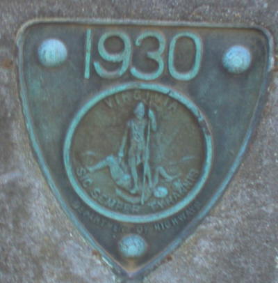
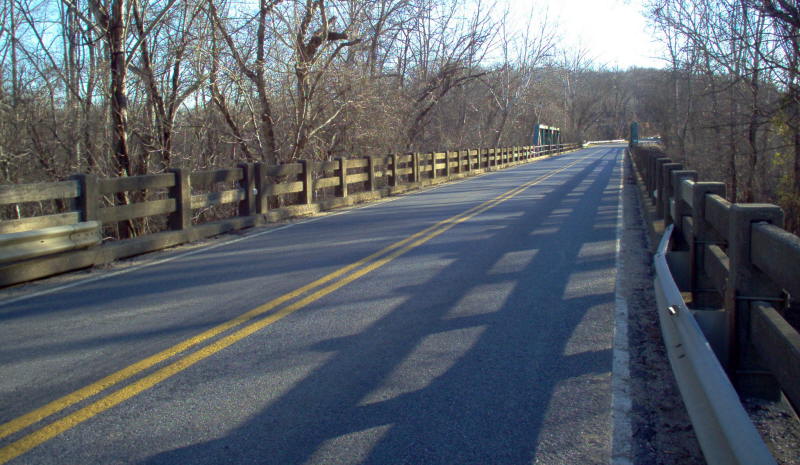
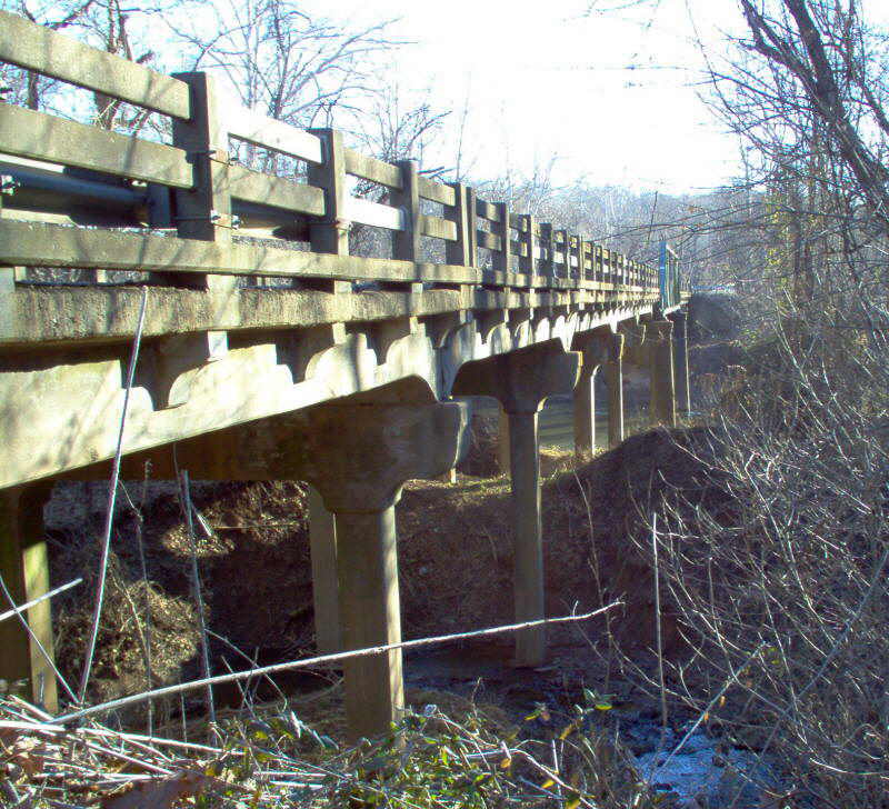
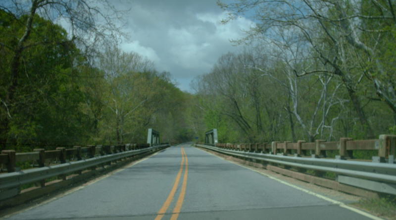
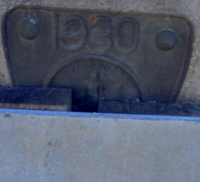
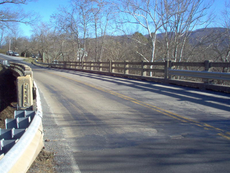
Year: 1930
Location:VA 6 over Rivanna River near Columbia
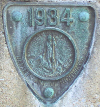
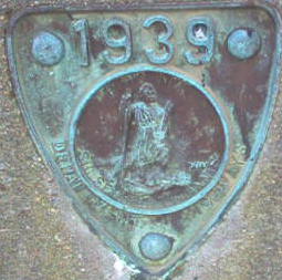
Notes: When built, this was VA 19. The date plates changed to say Department of Highways instead of Virginia State Highway Commission in 1930.
Photos: (by Mapmikey 1/26/06; 4/23/08)
 |
 |
 |
 |
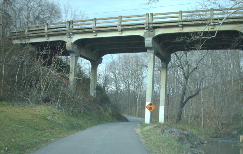
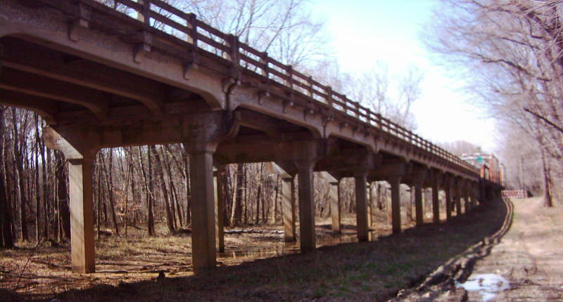
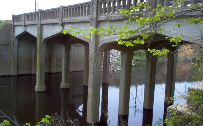
Year: 1930
Location:VA 130 Natural Bridge Station
Notes: When built, this was US 60-VA 801. This bridge is very tall with narrow piers all the way to the ground.
Photos: (by Mapmikey 1/26/06)
 |
 |
 |
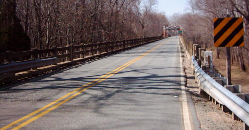
Year: 1930
Location:VA 92 over Staunton (Roanoke) River, near Clover
Notes: The piers from the previous bridge remain in the river. This was VA 12 when built.
The last picture shows the bridge closed which VDOT did in late 2007 after an inspection.
Photos: (by Andrew Snyder 3/8/06; Mark Gurley 2/16/08)
 |
 |
 |
 |
 |
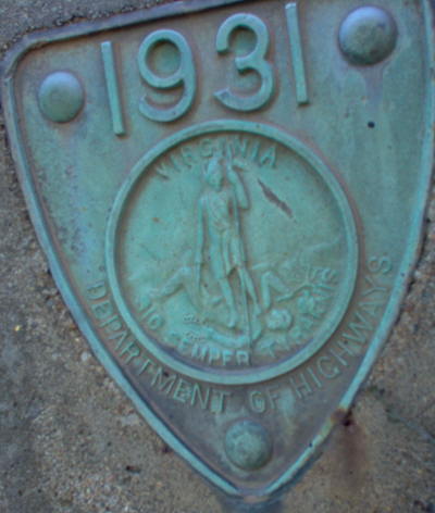
Year: 1931
Location:US 15 over Rivanna River, Palmyra
Notes: When built, this was also still part of VA 32.
The last picture shows the new US 15 bridge over the Rivanna River, slightly east of the 1931 bridge, which was torn down...)
Photos: (by Mapmikey 1/26/06; 2/15/08)
 |
 |
 |
 |
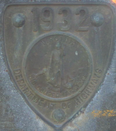
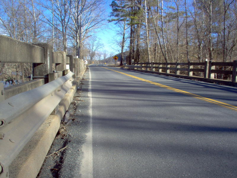
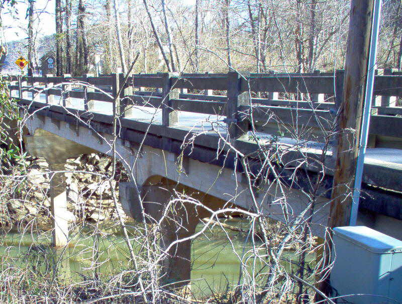
Year: 1932
Location:VA 26 over Bent Creek
Notes: When built, this was VA 306. The end of the road just ahead is US 60.
Photos: (by Mapmikey 1/26/06)
 |
 |
 |
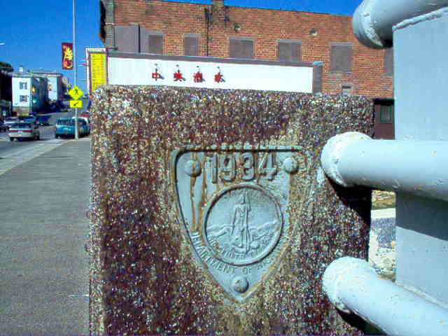
Year: 1934
Location:US 211 Bus over Hawksbill Creek, Luray
Notes: This was mainline US 211 when built. This is the earliest example of this style railing I know of. This style seems to have been used with bridges wider than 2 lanes, a practice that lasted to at least 1955.
Photos: (by Mapmikey 10/1/05)
 |
 |
 |
Year: 1934
Location:SR 727 over Cub Creek, near Red House
Notes: This was VA 26 when built.
Photos: (by Mapmikey 1/30/06)
 |
 |
 |
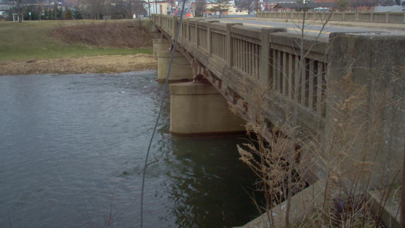
Year: 1934
Location:US 340 over South River, Waynesboro
Notes: This was VA 5 when built.
Photos: (by Mapmikey 1/26/06)
 |
 |
 |
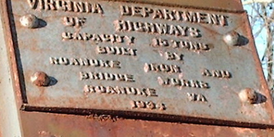
Year: 1934
Location:SR 710 over Dunlap Creek, Callaghan
Notes: This was US 60 when built. US 60 may have used this until I-64 was built in the mid-late 60s. There is one house on the other side of the bridge which is why it is still here.
Photos: (by Mapmikey 1/26/07)
 |
 |
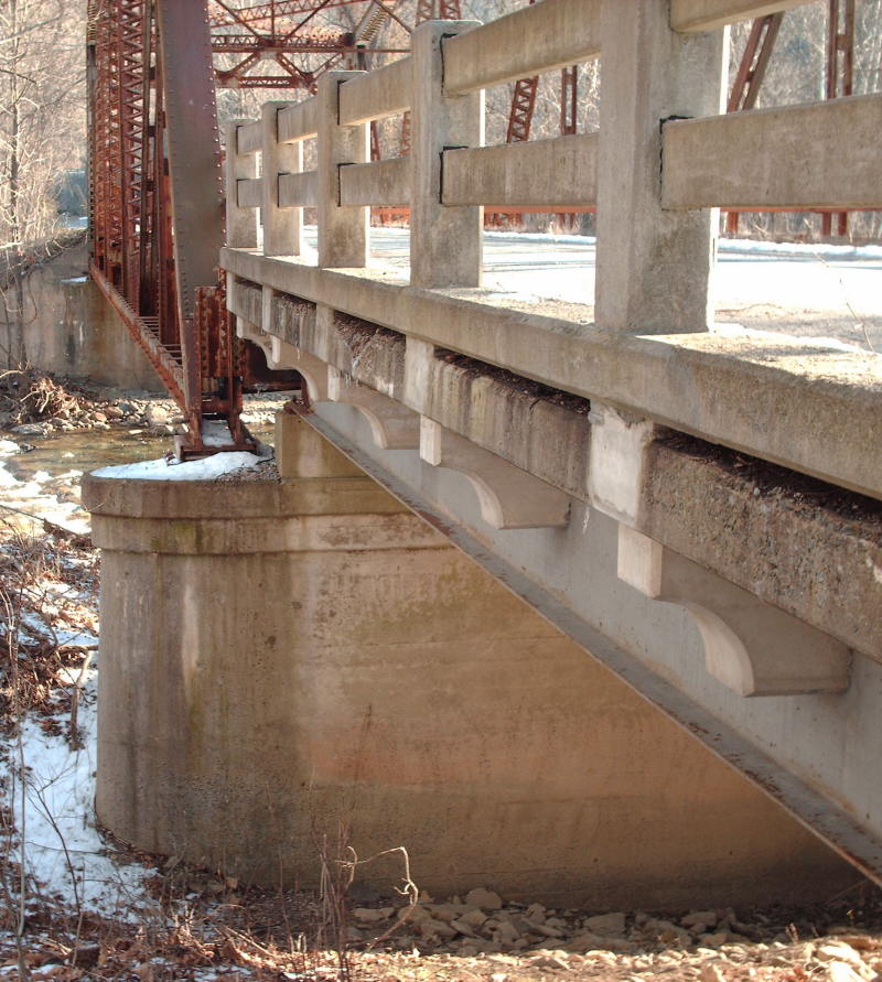 |
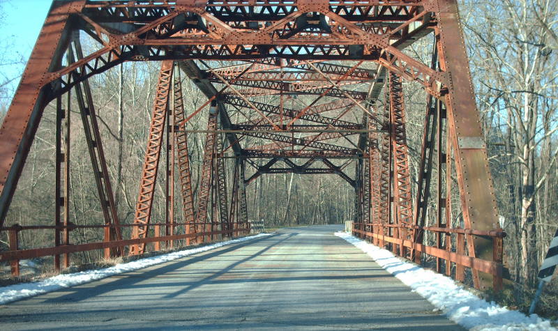
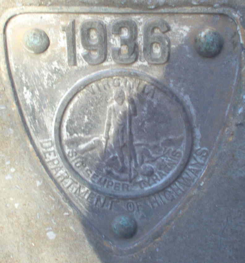
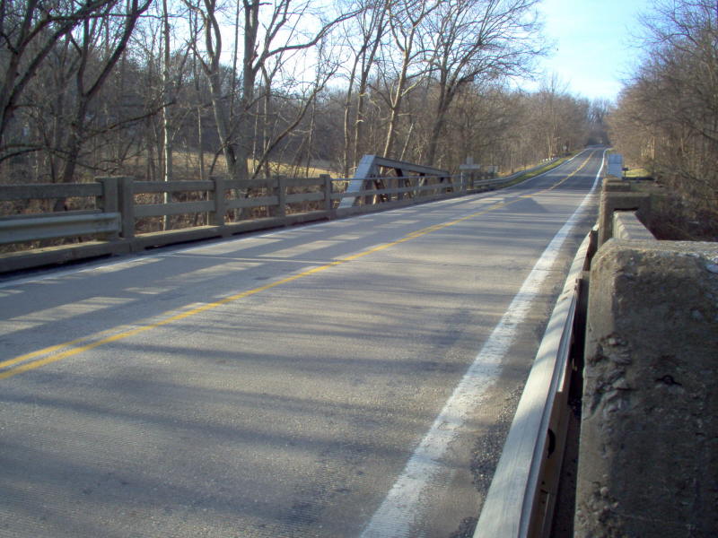
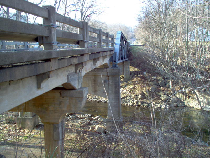
Year: 1936
Location:US 340 over Flint Run, near Bentonville
Notes: This was VA 12 when built. Yes, the truss portion is not parallel to the road deck. This bridge also had square date plates on the truss like the one in the 1916 entry.
Photos: (by Mapmikey 2/1/06)
 |
 |
 |
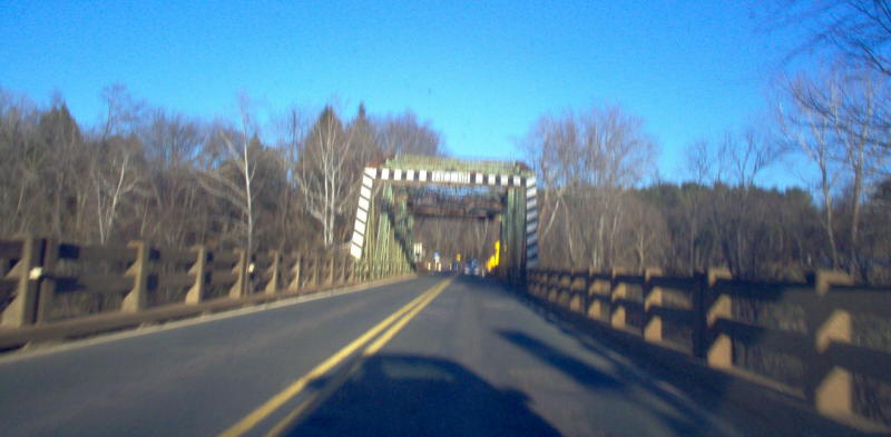
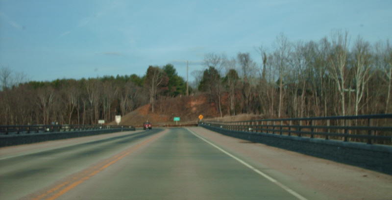
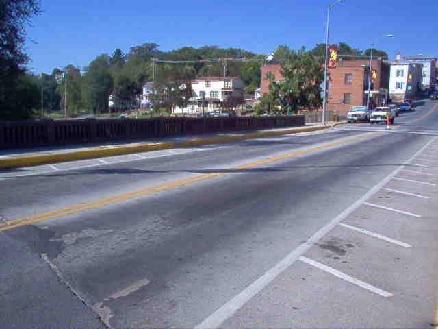
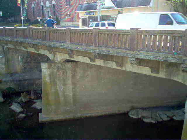
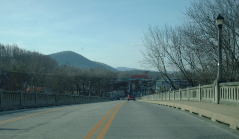
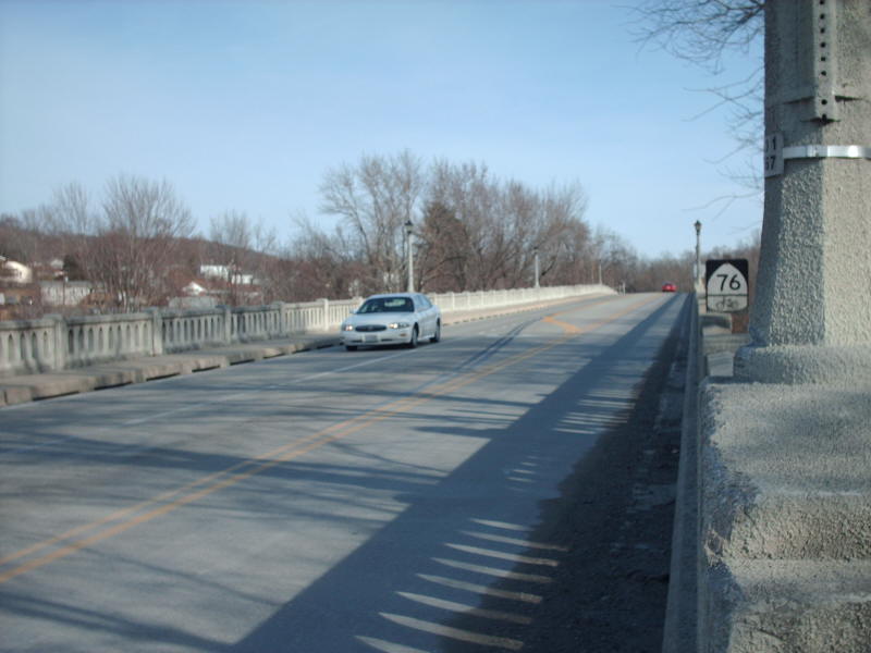
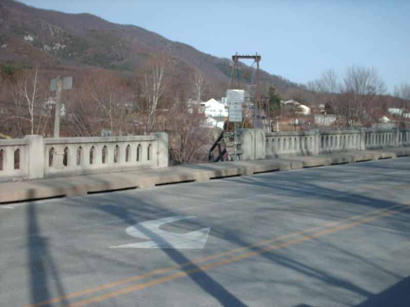
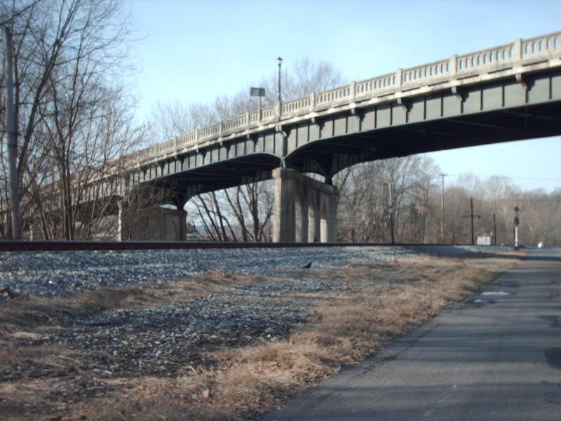
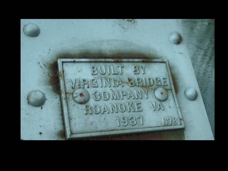
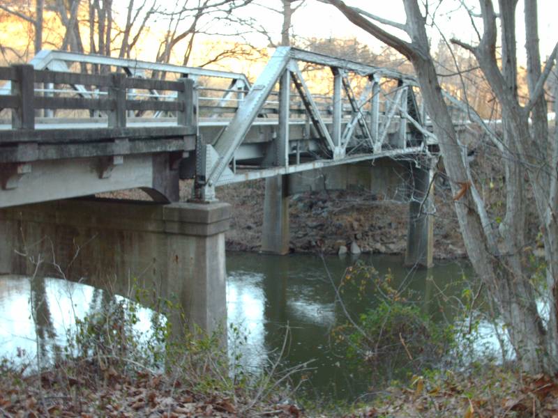
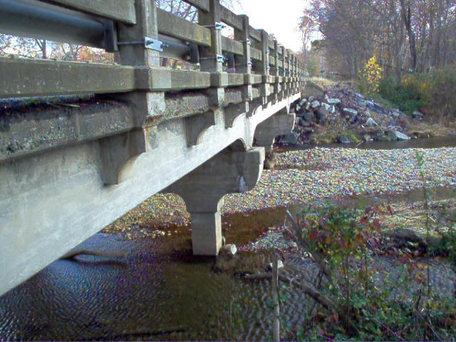
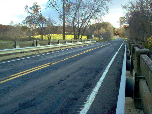
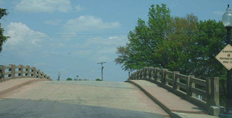
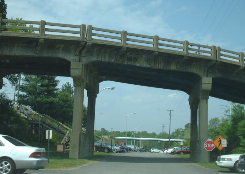
Year: 1937
Location:US 11 over James River, Buchanan
Notes: This is an interesting bridge. It has a distinctive shape on the deck and is an early 3-lane bridge. The pedestrian bridge that splits off from the bridge in the 4th photo is on the location of the US 11 bridge that preceded this one.
Photos: (by Mapmikey 12/5/08)
 |
 |
 |
 |
 |
 |
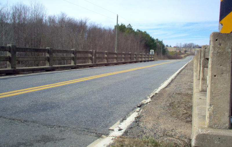
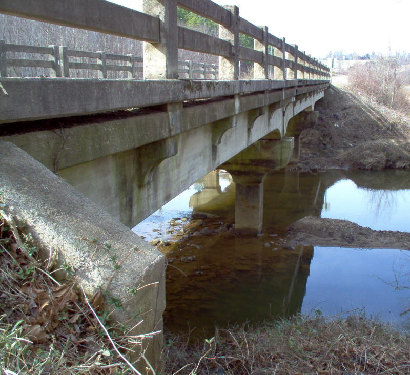
Year: 1937
Location:SR 635 over Pedlar River, near Pedlar Mills
Notes: This was part of VA 130 until 1948.
Photos: (by Mapmikey 12/11/09)
 |
 |
 |
 |
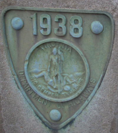
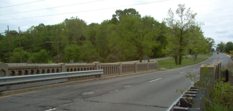
Year: 1938
Location:US 1 over Upham Brook, just north of Richmond
Notes: This is considered non-arch, though there is an arch-ish shape to the underside.
Photos: (by Mapmikey 4/26/06)
 |
 |
 |
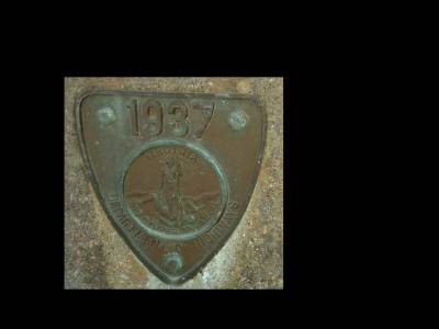
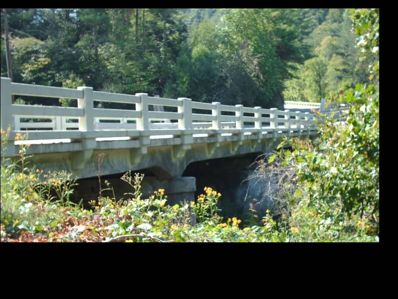
Year: 1937
Location:VA 94 over Brush Creek, north of Fries
Notes: Nothiing remarkable about this...I only stopped because I though the date shield said 1933.
Photos: (by Mapmikey 9/3/10)
 |
 |
 |
Year: 1939
Location:VA 230 over Conway River, Greene-Madison County Line
Notes: I think metal railings on the concrete railings ruin the look of the older bridges.
Photos: (by Mapmikey 11/10/05)
 |
 |
 |
Year: 1939
Location:VA 327 Virginia State University
Notes: A short arched span on campus. This is one of the older bridges on a facility state route. There was no date plate on this bridge.
Photos: (by Mapmikey 4/24/07)
 |
 |
Page last modified 13 January 2012