N.C. 400
< 381 | Home | 401 >
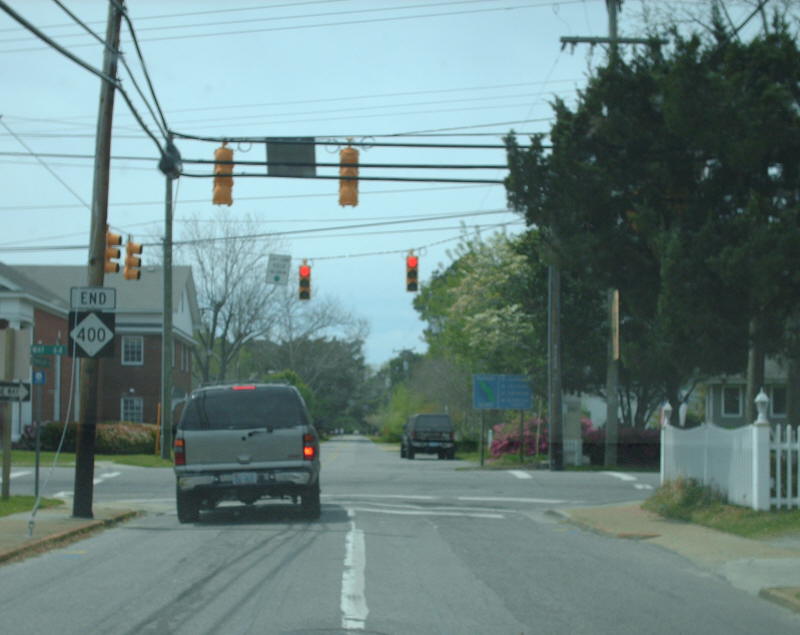
Photo: NC 400 ending at US 64 Business (Mapmikey)
| N.C. 400 0.63 miles EB, 0.49 miles WB | |||
| The Road: | Begins at US 64 Business Manteo and ends at the Elizabetth II State Historic Site. | Towns and Attractions: | Dare Co: Manteo |
History: |
NC 400 was born in 1985 running as it does now, except US 64 Business was US 64-264 then.
NC 400 is on split streets for most of its routing - EB uses Fernando St and Queen Elizabeth Ave; WB uses Ananias Dare St; 0.12 miles of two-way traffic NC 400 exist on Festival Park which crosses a canal to the Elizabeth II site.
|
Comment: |
NC 400 was posted solely on brown and white shields for many years, but at least one black and white shield existed in 2008. It is awfully coincidental that the creation of NC 400 occurred 400 years after the founding of the Lost Colony. |

Last Update: 25 April 2008
Previous: N.C. 381 |
Next: N.C. 401
Top | NCRoads.com
Home