Photos of the Southwest Suffolk Bypass in Virginia
These photos document the new Southwest Suffolk Bypass (herein referred to as the SW Bypass), which opened the afternoon of March 19, 2003. I was there later that evening to take a look. Already, there is some disparity within the signage, in that the southbound SW Bypass is signed as TO VA 32, but at the US 13/VA 32 interchange, BUSINESS VA 32 is signed as going into Suffolk. Given this disparity, it is unclear whether mainline VA 32 travels through Suffolk, or takes the bypass around Suffolk. Except where noted, all photos on this page were taken by Adam Froehlig on March 19, 2003.
Jump to Eastbound US 58 Views
Jump to Southbound US 13 Views
Jump to Northbound US 13 Views
Jump to Secondary Route 688 Views
Westbound US 58 views
|
| This is westbound along US 13/58/460. Mainline US 13 used to exit here and go into Suffolk. With the opening of the SW Bypass, mainline US 13 follows US 58/460 around Suffolk, but as you can see here the BUSINESS route has not yet been signed at this split. |
|
| These are the first reassurance shields westbound on the Suffolk Bypass. US 13 has not been posted here yet. |
|
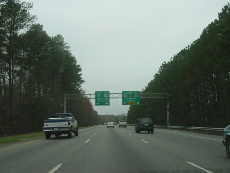
| This is the first westbound BGS for the new SW Bypass. It is interesting to note that "TO VA 32" is used, instead of "SOUTH VA 32". |
|
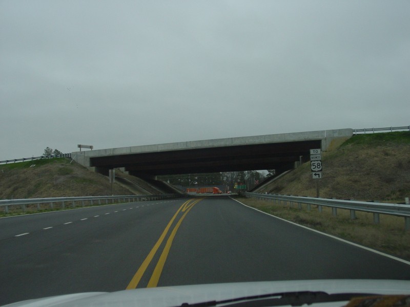
| At this point, the speed limit has dropped to 45 MPH, approaching the end of the US 58 freeway section. US 13 exits here at a trumpet interchange onto the SW Bypass. |
|
| Here's the actual exit to SB US 13 and the SW Bypass. The traffic light in the background is at the US 58/BUS US 58 intersection. |
|
| This is where the loop from NB US 13 merges into WB US 58. |
|
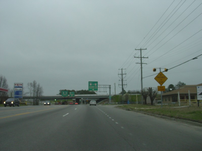
| This is the view approaching the US 58/BUS US 58 intersection. The lane at right is an acceleration lane for the ramp from NB US 13 to WB US 58, which ends underneath the overpass. The overpasses are for the NB-WB and WB-SB ramps. |
 | Trailblazer signage along eastbound US 58, approaching the interchange with the SW Bypass. Again, note that "TO VA 32" is signed. |
 | Approaching the EB-SB ramp. The warning sign is occasionally found in Virginia and other states, and is a caution to drivers in that when the yellow lights are flashing, the traffic signal ahead is turning red, and thus drivers should prepare to stop for the light. |
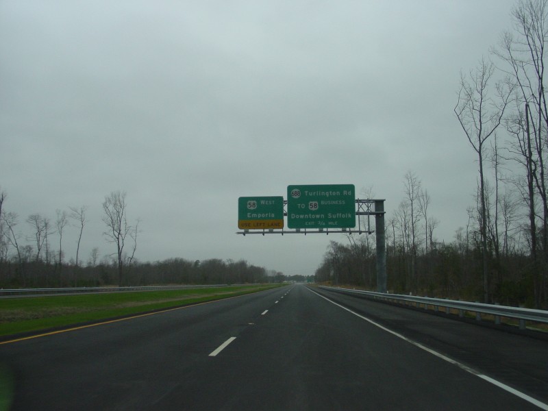
 | Just past the EB-SB ramp, these BGS are for the US 58/BUSINESS US 58 intersection. US 58 drivers also use this intersection now to access SR 688. |
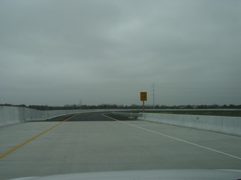
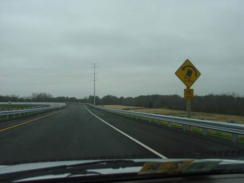 | On the ramp from WB US 58 to SB US 13. The ramp is signed with cautionary speeds of 25 MPH for vehicles, and 15 MPH for trucks, as seen here. I was able to comfortably take the curve at 35 MPH in my Corolla. |
 | Just after crossing the overpass over US 58, the ramp from EB US 58 to SB US 13 forms the second lane on the SW Bypass. |
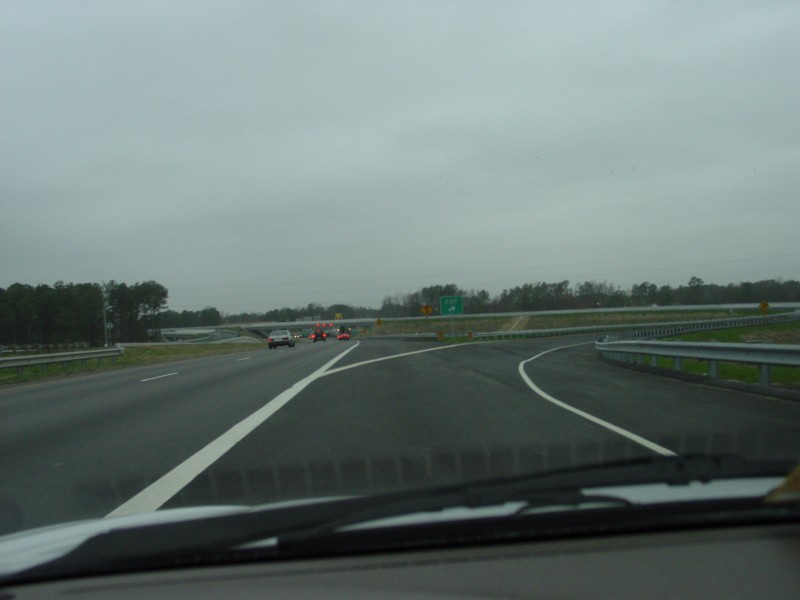
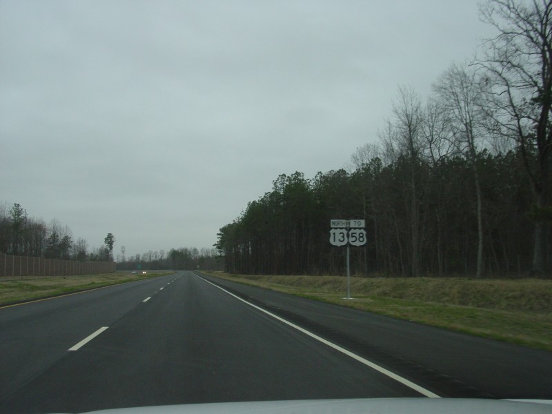
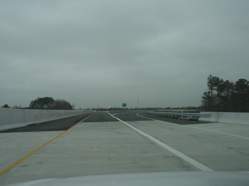
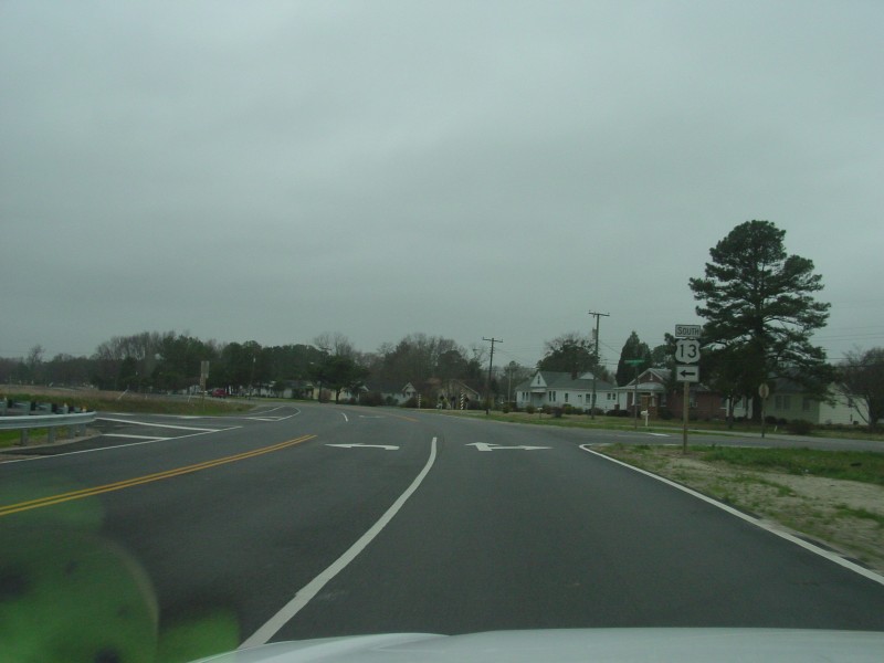
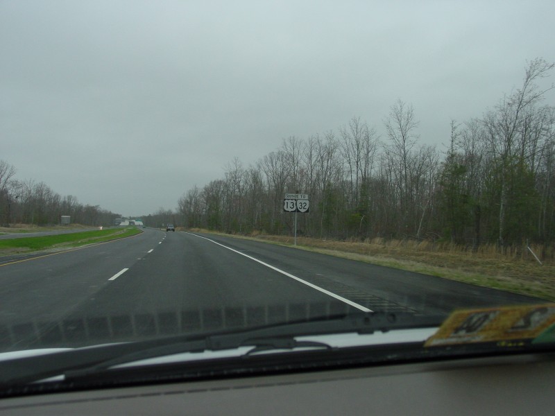 | These are the first (and only) reassurance shields southbound along the SW Bypass. As with other photos, note the "TO VA 32" shield. |
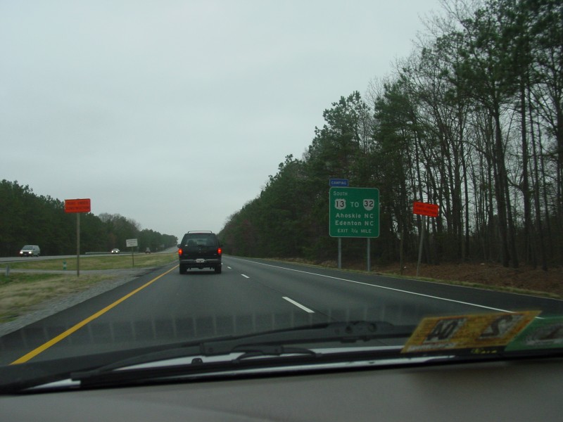
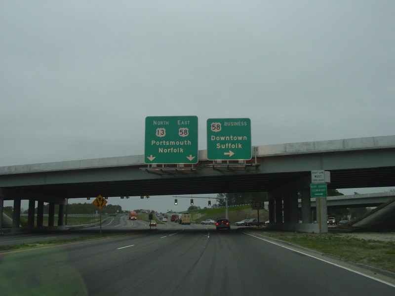
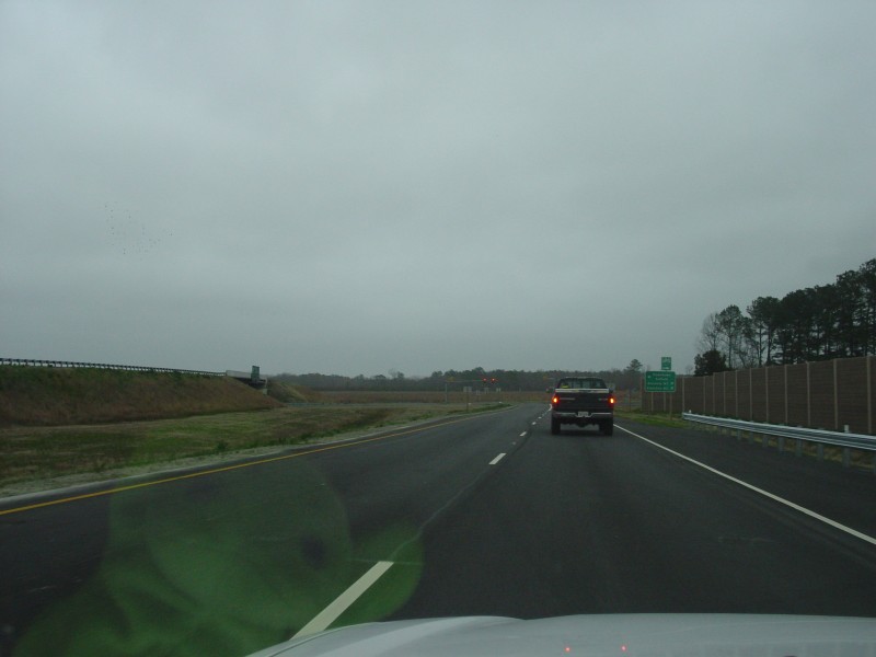
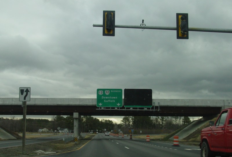
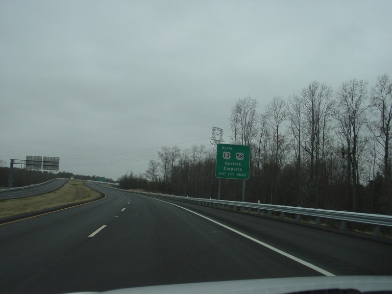
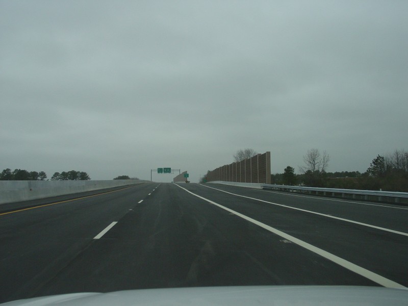
 | The first overhead BGS for the US 13/VA 32 interchange, located 1 1/4 miles out. They are right at the beginning of the Dr. Martin Luther King Jr. Memorial Bridge (which is actually a set of four bridges close together, two in each direction). |
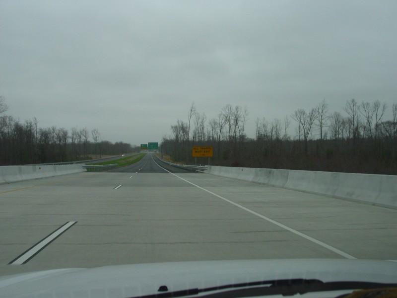
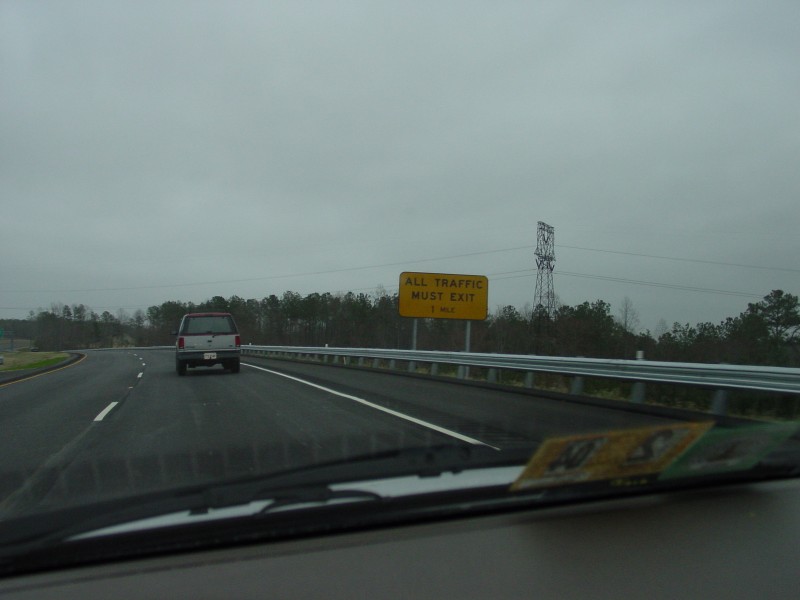 | This "ALL TRAFFIC MUST EXIT" sign is located in the gap between the two memorial bridges. |
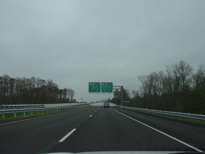
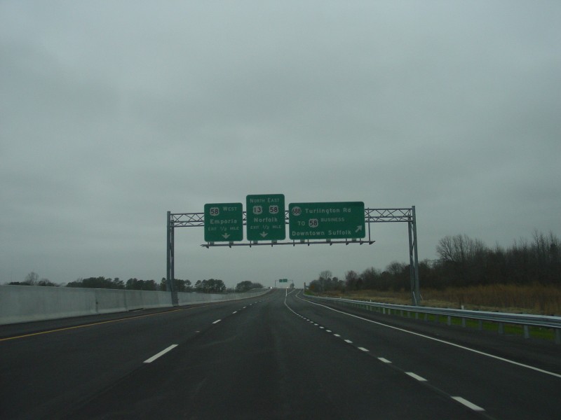
 | The second of three sets of overhead BGS, located 3/4 mile from the end of the SW Bypass. |
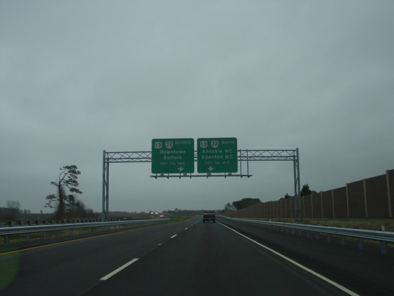 | The third and final set of overhead BGS, 1/4 mile away from the end. |
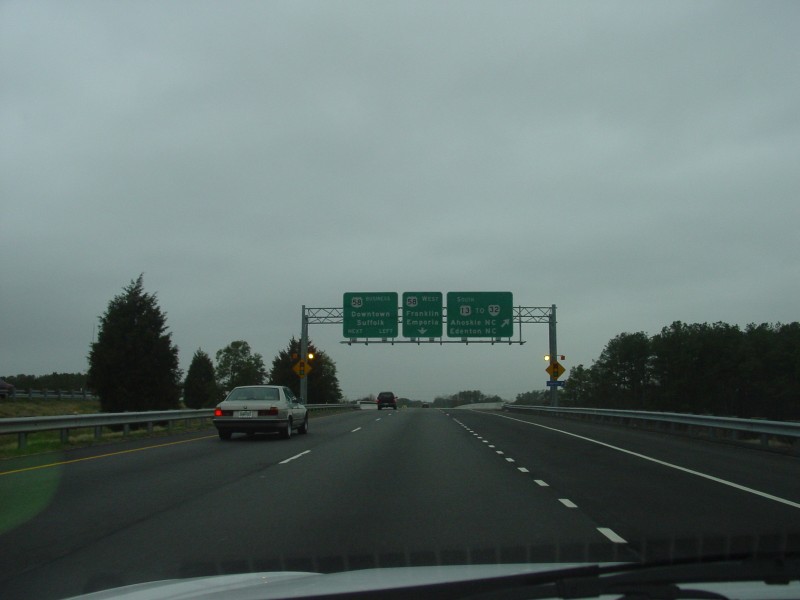
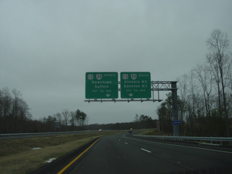
 | Approaching the traffic signal at the junction. As noted on the overhead BGS, the right lane splits off to southbound US 13/VA 32, while the left lane goes through the traffic signal and to BUSINESS US 13. |
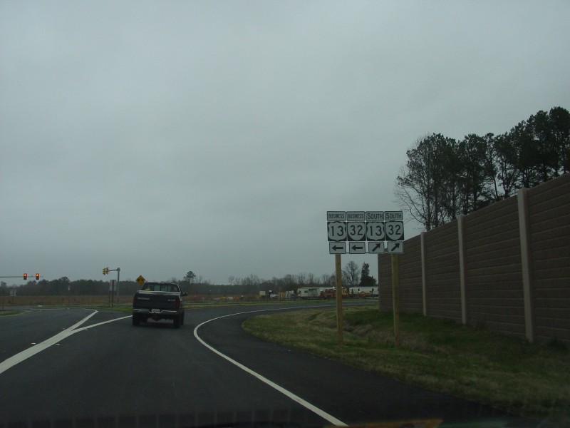 | Trailblazer shields at the ramp split. The BUSINESS VA 32 shield leads to the confusion over whether mainline VA 32 goes through town or follows the bypass. |
Northbound US 13 at BUSINESS US 13
 | Along northbound US 13/VA 32. The traffic signal is for the ramp from the southbound SW Bypass. Northbound US 13 follows a loop after the signal onto the SW bypass. |
 | Here's how things looked about 3 1/2 weeks before the bypass opened. As you can see the ramp and signage was completed before this time, but the signs were covered over and the ramp blocked off. Photo taken February 23, 2003. |
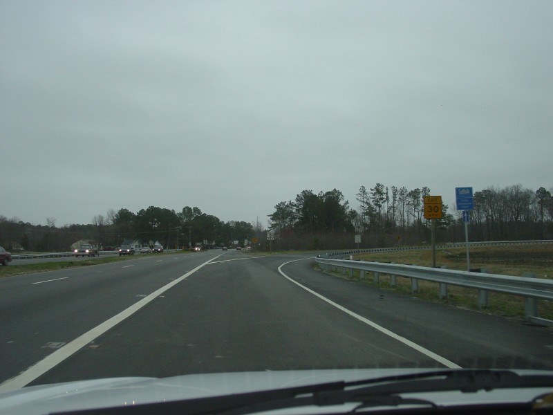 | This is where the loop to the SW Bypass diverges. The loop is signed for 30 MPH. |
Northbound US 13 views
 | Along the loop. While the interchange at US 13 was not designed to accommodate an extension, a wide open area immediately east of the interchange suggests an eventual extension of the bypass may be possible. |
 | Approaching the overpass over existing US 13/VA 32. Note that the overpass was not constructed to accommodate an eastward extension of the bypass. |
 | The ramp from BUSINESS US 13 forms the second northbound lane. |
 | These are the only reassurance shields northbound along the SW Bypass. |
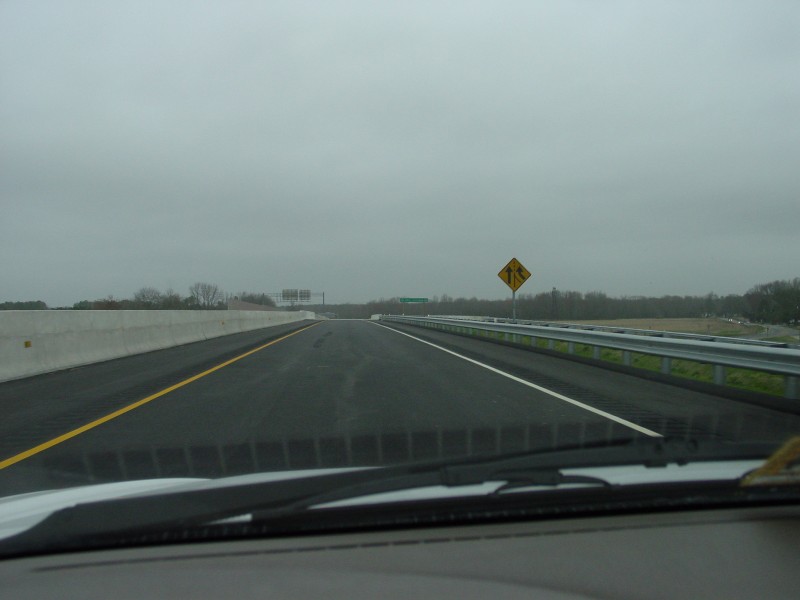
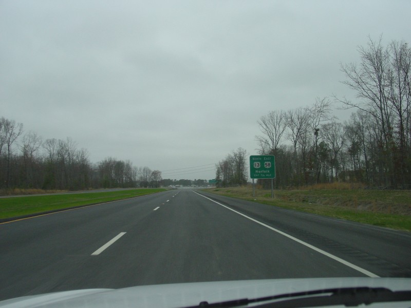
 | Further down, this is the first BGS heralding the interchange with US 58, 1 1/4 miles away. |
 | Along the SW Bypass, there is a half-diamond to/from the south at SR 688 to access SR 688 and BUSINESS US 58. Curiously, this BGS is also marked at 1 1/4 miles. Since the exit to SR 688 comes before the interchange at US 58, either the distance in this BGS or the distance in the BGS in the photo above are in error. We are also approaching the northbound Dr. Martin Luther King Jr. Memorial Bridge here. |
 | Near the end of the Memorial Bridge, northbound traffic also sees an "ALL TRAFFIC MUST EXIT" sign. |
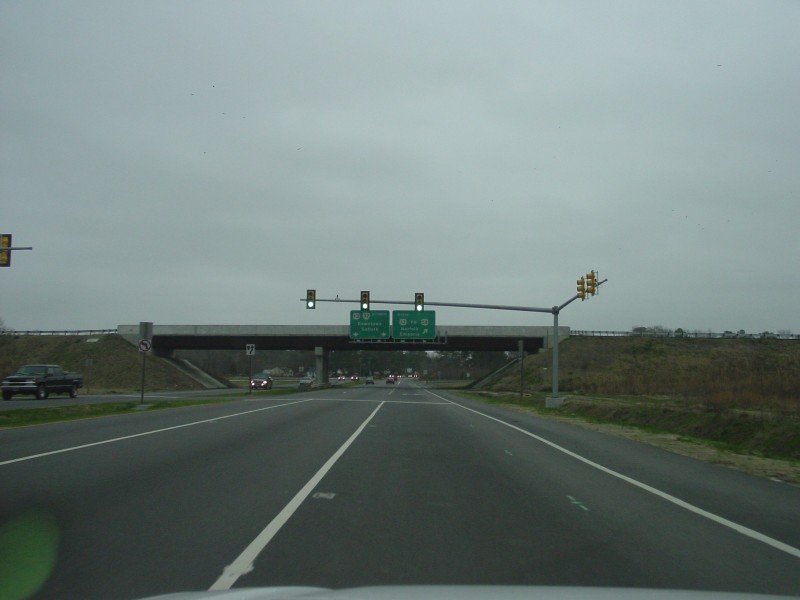
 | Overhead BGS at 3/4 mile out. The left sign tells drivers wishing to follow westbound US 58 towards Emporia to use the left lane. |
 | Just beyond is a 3/4 mile BGS for the US 58 interchange. |
 | These BGS are at the exit to SR 688, and also note that the left lane is for WB US 58 traffic, and the right lane is for EB US 58 and NB US 13 traffic. |
 | Here's the actual exit to SR 688. |
 | This is the last overhead BGS northbound, just before the split at US 58. |
 | Here's the actual split, just past the overpass over SR 688 |
 | The loop from NB US 13 to WB US 58 is signed at 25 MPH, and 15 MPH for trucks. |
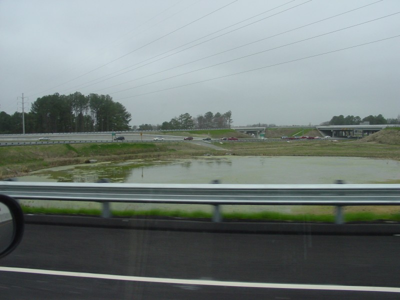 | This retention pond, located within the loop, was built as part of the US 58/SW Bypass interchange. |
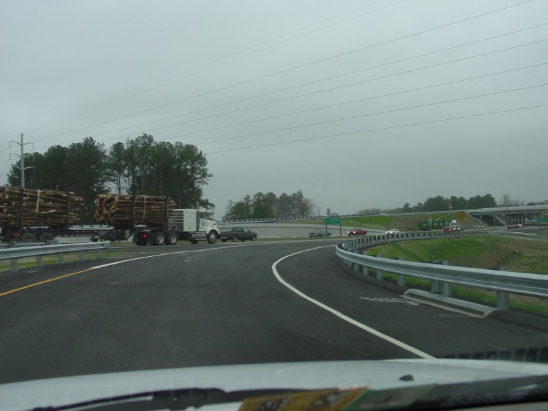
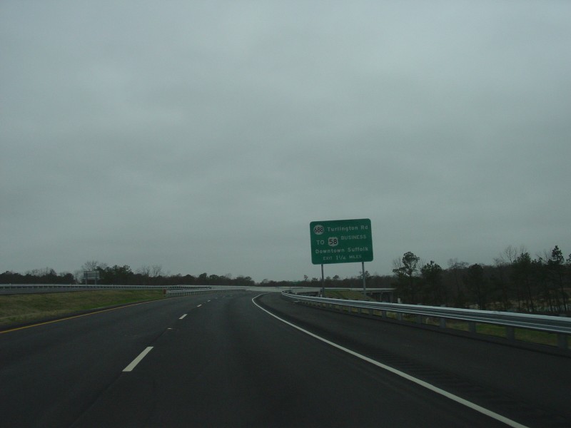
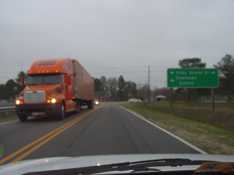
 | After turning off of BUSINESS US 58 (just east of the US 58/BUS US 58 intersection), SR 688 briefly follows Kilby Shores Dr here before turning onto Turlington Rd and crossing underneath the SW Bypass. |
 | SR 688, now on Turlington Rd, crosses under the SW Bypass here on a realigned routing. |
 | Here's the turn for the ramp from SR 688 onto southbound US 13. |
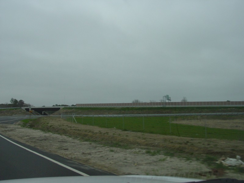 | Looking northeasterly here, showing in order from front to back, the SR 688 to SB US 13 ramp, the US 13/SW Bypass mainline, and a sound wall between US 13 and a residential area to the east. |
 | This view shows part of old SR 688/Turlington Rd which was bypassed as part of the SW Bypass project. This portion of the old road remains to serve the houses along it. |
 | Northbound SR 688 crossing under US 13/SW Bypass. |
 | At the north end of the realigned Turlington Rd, SR 688 turns left onto Kirby Shores Dr and heads toward BUSINESS US 58. |
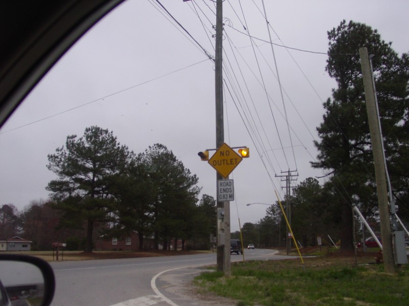 | Turning right, Kirby Shores Dr dead ends without another outlet, as shown by this sign. |
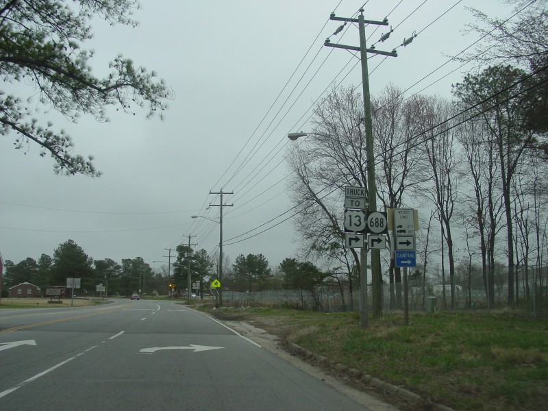
 | This is where SR 688 ends at BUSINESS US 58. The US 58/BUSINESS US 58 intersection is at the traffic light in the left background (behind the trees). |
![]()
Page last modified 26 September, 2005
(C) 2005, 2004, 2003 Adam Froehlig