< SC 702 | Home | SC 703 ALT | SC 704 >
|
|
|
| ROUTE LOG |
US 17: 0 - 0 I-526 Bus: 2.6 - 2.6 SC 517: 6.3 - 8.9 END SC 703: 2.0 - 10.9
|
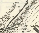
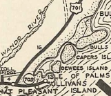
Creation: SC 703 appeared in 1933 as a renumbering of SC 401, running from US 701 (now part of SC 703) Mt. Pleasant south to Moultrieville then east to end at the Isle of Palms. This is the only SC 703.
|
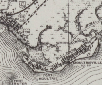
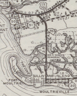
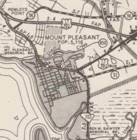
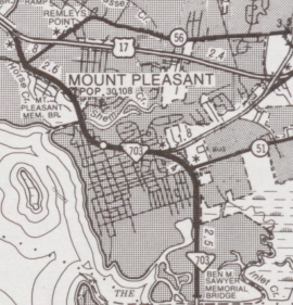
Adjustments: By 1940, SC 703 was extended past the center point of the Isle of Palms to its current endpoint at 41st St. In 1945, SC 703 was rerouted to have a new crossing onto Sullivans Island via the Ben Sawyer Bridge. Its Mt. Pleasant end moved to the current SC 703 junction with I-526 Bus. The previous Mt. Pleasant route was Pitt St/Church St, Hibben St, and Whilden St. On Sullivans Island SC 703 used Osceola Ave and Middle St.
Between 1953-57, SC 703 was given its current routing from the Breach Inlet Bridge to SC 517. The old route used S-10-7 Carolina Ave/4th St/Ocean Blvd/JC Long Blvd.
In 1992, SC 703 north was extended to US 17 at the east end of the Cooper River Bridge, replacing the southern half of US 17 Business in Mt. Pleasant.
Improvements: Fully paved at creation SC 703 was multilaned from Coleman Blvd. south to the causeway by 1975; Multilane along its Coleman Blvd. section, as well. Comment: SC 703's Ben Sawyer Bridge is the drawbridge that was toppled onto its head by Hurricane Hugo in 1989, but was placed back on its deck and is still in use today. | |||||||||||||
Previous: SC 702 |
Next: SC 703 ALT | SC 704
Top | South Carolina Hwy Index
Home
Page last modified 23 April 2015
