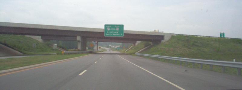
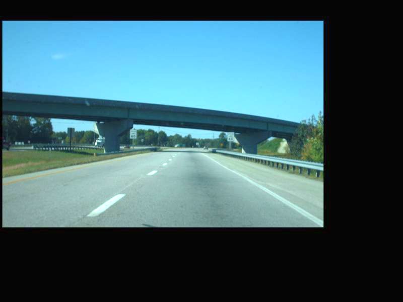
![]() US 58 East at US 29 and US 29 Business.
Photo by Mapmikey, taken November 10, 2012.
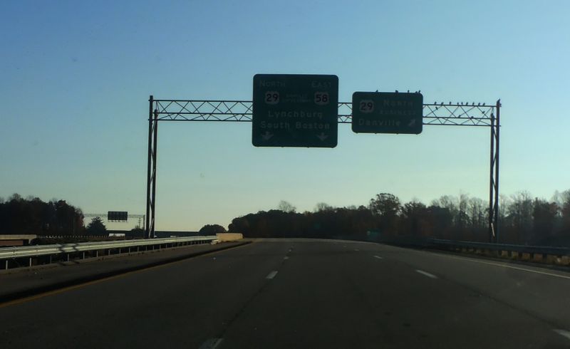
US 58 East at US 29 and US 29 Business.
Photo by Mapmikey, taken November 10, 2012.
Business U.S. Highway 29
|
|
Southern Terminus |
Northern Terminus |
| Danville |
At US 29 at the North Carolina State Line |
At US 29 in Blairs, VA |
| Chatham |
At US 29 near Tightsqueeze, VA |
At US 29 in Chatham, VA |
| Gretna |
At US 29 in Galveston, VA |
At US 29 near Gretna, VA |
| Alta Vista/Hurt |
At US 29 in Motley, VA |
At US 29 near Alta Vista, VA |
| Lynchburg/Madison Heights/Amherst |
At US 29/US 460 in Lynchburg, VA |
At US 29 near Amherst, VA |
| Lovingston |
At US 29/VA 56 in Lovingston, VA |
At US 29 in Lovingston, VA |
| Charlottesville |
At US 29 near Charlottesville, VA |
At US 29/US 250 in Charlottesville, VA |
| Madison |
At US 29/VA 231 near Madison, VA |
At US 29 near Madison, VA |
| Culpeper |
At US 29/VA 299 in Culpeper, VA |
At US 15/US 29 in Inlet, VA |
| Remington |
At US 15/US 29 near Remington, VA |
At US 15/US 29 near Remington, VA |
| Warrenton |
At US 15/US 17/US 29 near Warrenton, VA |
At US 15/US 17/US 29 near Warrenton, VA |
Danville
|
|
Northbound US 29 approaching the south end of Danville business route and US 58 Bypass. Photo by Mapmikey, taken July 22, 2006. |
|
|
On northbound US 29 Business north of the bypass exits. Photo by Mapmikey, taken July 22, 2006. |
|
|
US 29 Business southbound at the US 29-58 interchange. Technically, US 29 Business has a short amount of pavement physically in North Carolina but it is maintained by VDOT. Photo by Mapmikey, taken July 22, 2006. |
|
|
|
|
|
Northbound US 29 at the north end of the Danville Bypass. Photo by Mapmikey, taken October 21, 2010. |
Chatham
|
|
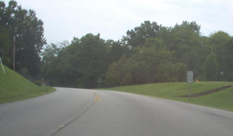
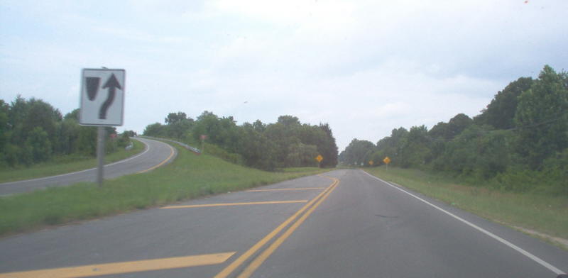
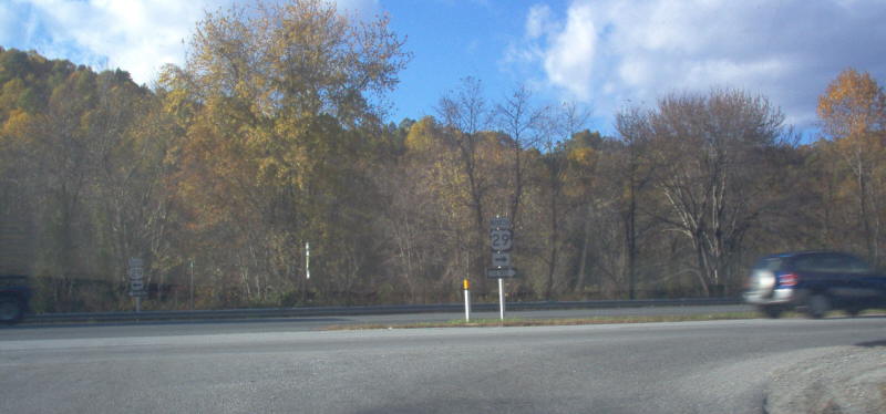
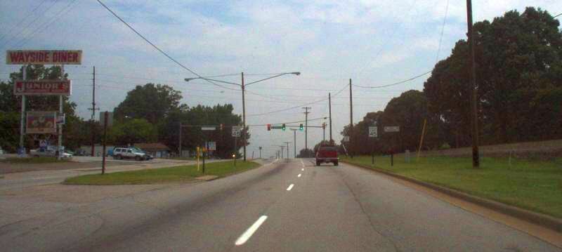
Southbound US 29 Business merging back onto mainline US 29. The Tightsqueeze stoplight is about where the second hillcrest in the distance is. Photo by Mapmikey, taken July 22, 2006. |
|
|
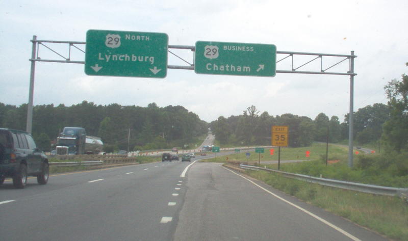
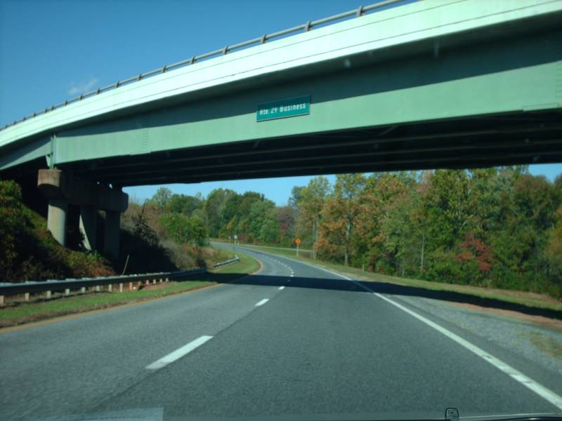
Northbound US 29 at the exit for Chatham via US 29 Business at the Cherrystone Creek bridge. Photo by Mapmikey, taken July 22, 2006. |
|
|
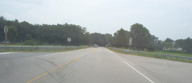
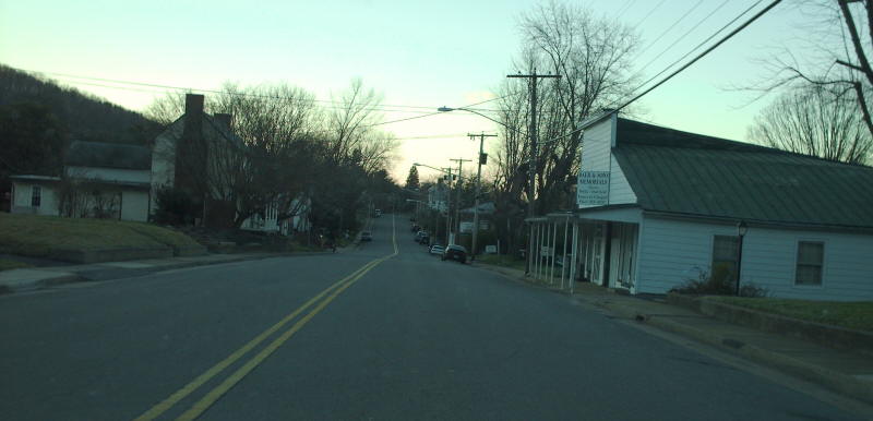
Actually on US 29 Business now. Photo by Mapmikey, taken July 22, 2006. |
|
|
Northbound US 29 Business at the north end of the bypass. Continuing straight is SR 691. Photo by Mapmikey, taken July 22, 2006. |
|
|
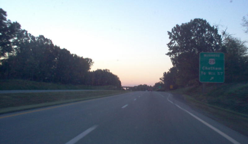
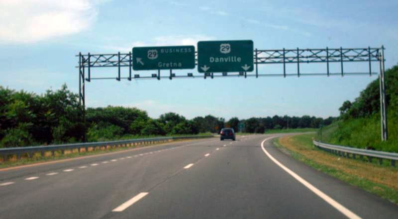
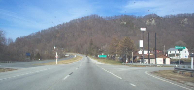
Southbound US 29 at dawn, at the exit for US 29 Business north of town. The reference to Rte 57 is leftover from before VA 57 was re-extended east (and now has its own exit with US 29 ahead). Photo by Mapmikey, taken October 26, 2006. |
Gretna
|
|
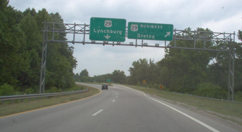
Northbound US 29 at the US 29 Business exit south of Gretna. Photo by Mapmikey, taken July 22, 2006. |
|
|
First reassurance assembly on US 29 Business northbound. US 29 Business becomes a 4-lane divided highway at the end of this ramp. Photo by Mapmikey, taken July 22, 2006. |
|
|
Northbound US 29 Business at the north end of the bypass. Photo by Mapmikey, taken July 22, 2006. |
|
|
Northbound US 29 at the north end of the bypass. Photo by Mapmikey, taken October 21, 2010. |
|
|
Southbound US 29 at the north end of the bypass. Photo by Mapmikey, taken summer 2011. |
Alta Vista/Hurt
|
|
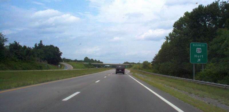
Northbound US 29 at the exit for US 29 Business south of Hurt. Photo by Mapmikey, taken July 22, 2006. |
|
|
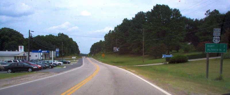
Northbound US 29 Business heading away from the south end of the bypass. Photo by Mapmikey, taken July 22, 2006. |
|
|
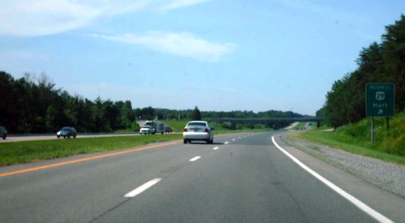
Southbound US 29 at the south end of the bypass. Photo by Mapmikey, taken summer 2011. |
|
|
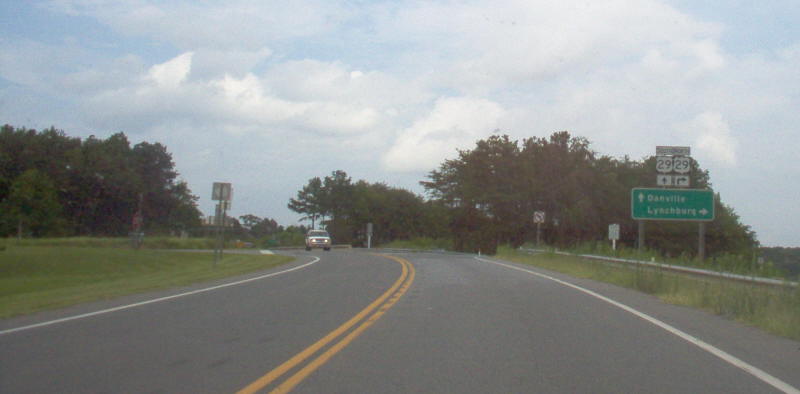
Northbound US 29 Business at the north end of the bypass. Photo by Mapmikey, taken July 22, 2006. |
Lynchburg/Madison Heights/Amherst
|
|
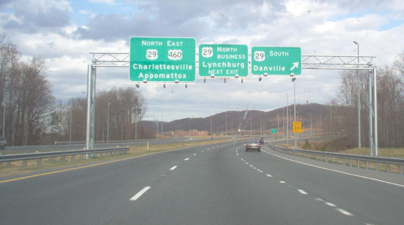
Eastbound US 460 at the recently reconstructed (early 2000s) cloverleaf at US 29 South. In 2005 with the opening of the US 29 Madison Heights bypass, BUSINESS US 29 was realigned onto what was the US 29 "Lynchburg Expressway" and extended south to this interchange. Photo by Mapmikey, taken November 10, 2005. |
|
|
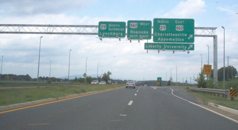
Northbound US 29 at the US 460 interchange south of Lynchburg. Photo by Mapmikey, taken July 22, 2006. |
|
|
This is northbound on US 29 Business, leaving the interchange at US 29 near Sweet Briar College. Before the Madison Heights Bypass this was the beginning of US 29 Business for Amherst. At the right was about where a ramp from SB US 29 was. Photo by Mapmikey, taken July 22, 2006. |
|
|
This is southbound on US 29 at the interchange. Before the Madison Heights Bypass this was the end of US 29 Business for Amherst. Photo by Mapmikey, taken January 20, 2007. |
|
|
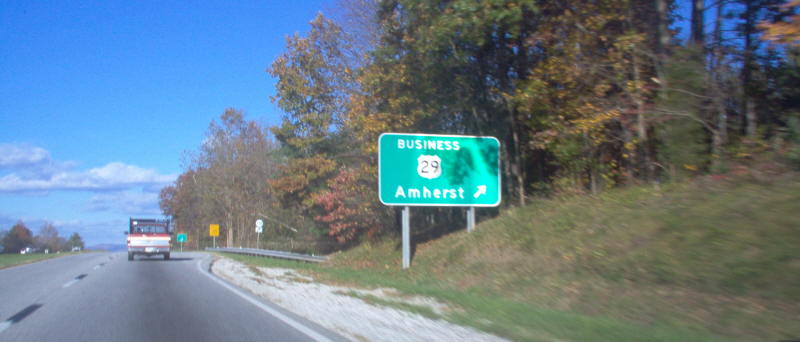
This is northbound on US 29, approaching the interchange at what is now the north end of a three-town BUSINESS US 29. Photo by Mapmikey, taken November 10, 2005. |
|
|
This is northbound on US 29 Business, approaching the interchange at US 29. Continuing straight is SR 739, old VA 150. Photo by Mapmikey, taken July 22, 2006. |
|
|
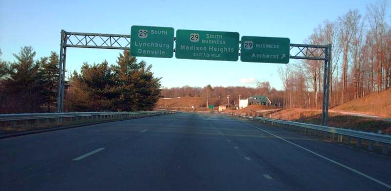
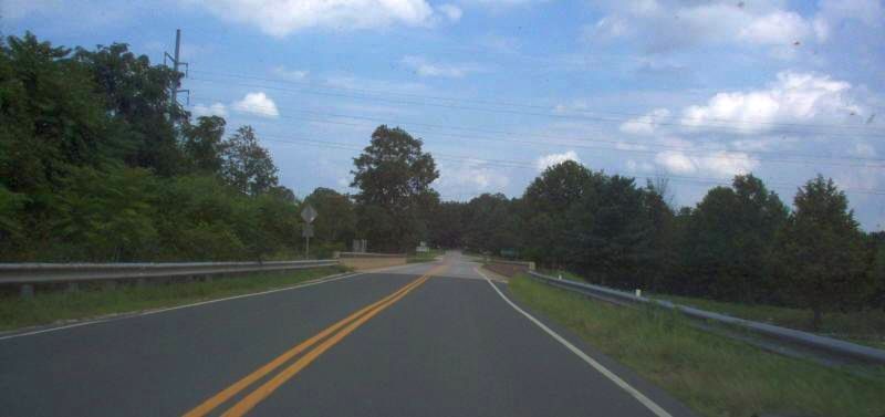
This is from US 29 southbound. Photo by Mapmikey, taken January 20, 2007. |
Lovingston
|
|
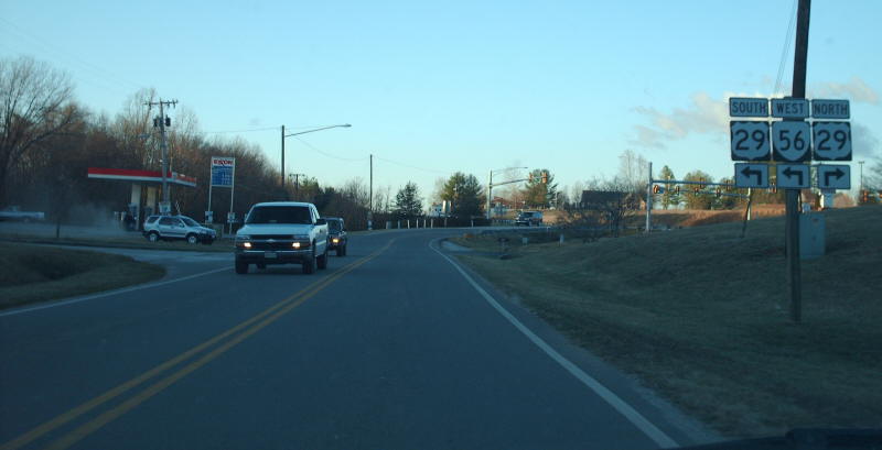
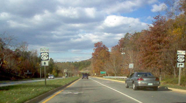
This is northbound on US 29, where US 29 Bus and VA 56 branch out towards town. This intersection had a traffic signal installed in early 2006. Photo by Mapmikey, taken November 10, 2005. |
|
|
Approaching the south end of US 29 Business. Photo by Mapmikey, taken January 20, 2007. |
|
|
Approaching the south end of US 29 Business along US 29 SB. Photo by Mapmikey, taken January 26, 2008. |
|
|
This is the northbound end of US 29 Business. Photo by Mapmikey, taken November 10, 2005. |
|
|
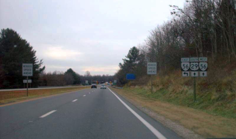
From US 29 northbound. Photo by Mapmikey, taken January 30, 2006. |
|
|
Beginning down US 29 Bus SB. Photo by Mapmikey, taken January 20, 2007. |
Charlottesville
|
|
This is southbound on US 29 Business, approaching the US 29 freeway. Photo by Mapmikey, taken November 10, 2005. |
|
|
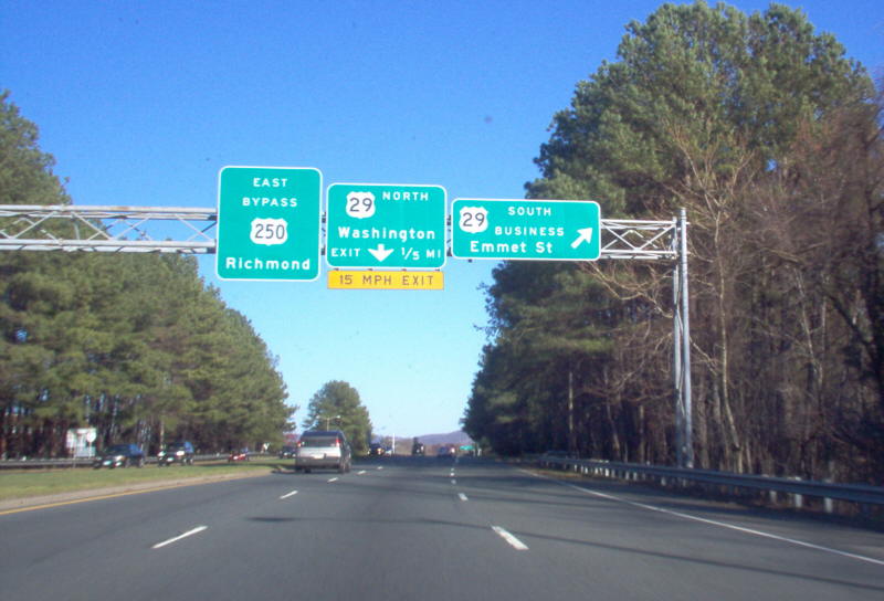
This is southbound on US 29, approaching the US 29/250 interchange with BUS US 29. This assembly is very new. Photo by Mapmikey, taken April 29, 2006. |
|
|
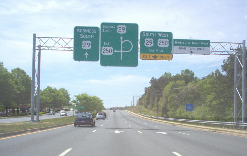
This is southbound on US 29, at the US 29/250 interchange with BUS US 29. Photo by Mapmikey, taken November 10, 2005. |
|
|
Overhead signs on northbound US 29/250 at the interchange Photo by Mapmikey, taken November 10, 2005. |
|
|
The view from US 250 eastbound, which requires a left turn across traffic to access US 29 Business. Photo by Mapmikey, taken May 27, 2006. |
Madison
|
|
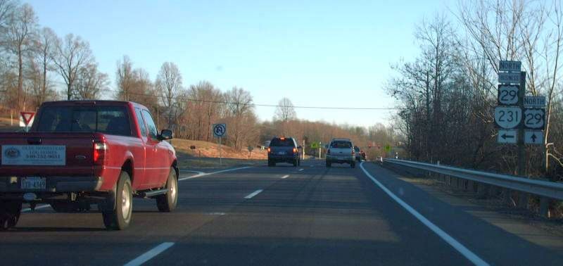
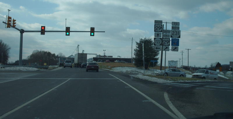
This is northbound on US 29, where US 29 Business and VA 231 split off to central Madison. Photo by Mapmikey, taken January 17, 2007. |
|
|
This is southbound on US 29, where US 29 Business ends and VA 231 pairs up with the Seminole Trail. Photo by Mapmikey, taken January 23, 2007. |
|
|
This is southbound on US 29, at BUS US 29. Photo by Mapmikey, taken January 23, 2007. |
|
|
This is northbound on US 29, at BUS US 29 north of Madison. Photo by Mapmikey, taken January 23, 2007. |
Culpeper
|
|
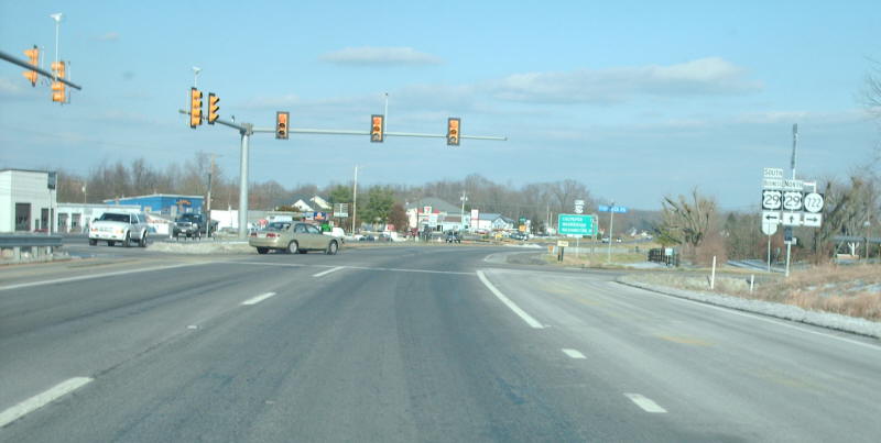
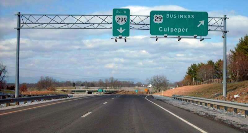
This is southbound on BUSINESS US 29, approaching mainline US 29 (and VA 299). Photo by Mapmikey, taken November 10, 2005. |
|
|
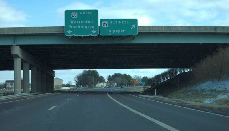
This is southbound US 29, at the exit for US 29 Business north. Photo by Mapmikey, taken January 23, 2007. |
|
|
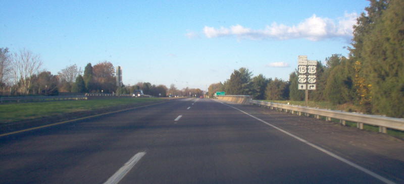
This is northbound US 29, at the exit for US 29 Business north. Photo by Mapmikey, taken January 23, 2007. |
|
|
This is southbound on SR 762 (old US 15-29), at the US 15-29 and BUS US 15-29 interchange. Photo by Mapmikey, taken November 10, 2005. |
|
|
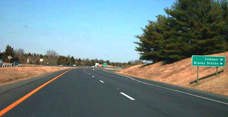
This is northbound US 15-29 at the ramp to BUS US 15-29 near Brandy Station. Photo by Mapmikey, taken March 9, 2007. |
|
|
|
|
|
|
|
|
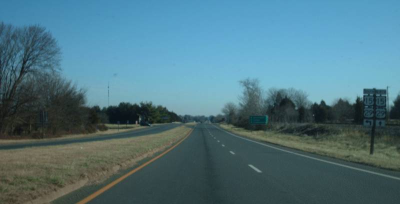
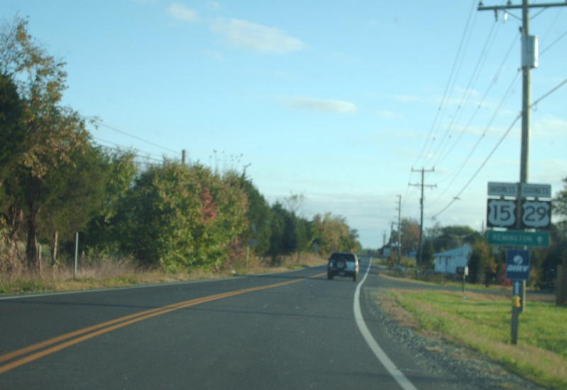
This is northbound US 15-29 Business approaching US 15-29 near Brandy Station. Photo by Mapmikey, taken January 23, 2009. |
Remington
|
|
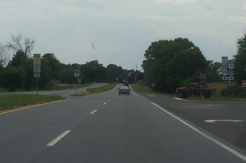
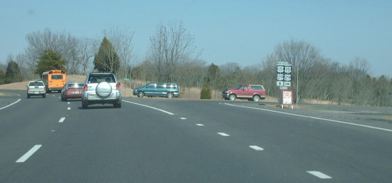
Northbound on US 15/US 29 at the southern end of the BUSINESS route through Remington. Photo by Mapmikey, taken March 9, 2007. |
|
|
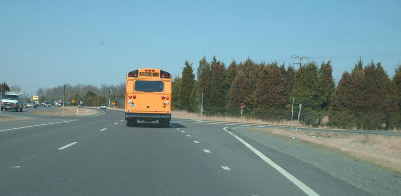
Beginning down US 15-29 Business NB. Photo by Mapmikey, taken October 23, 2008. |
|
|
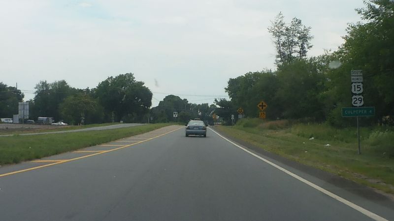
Northbound on US 15/US 29 at the northern end of the BUSINESS route which is not posted from this direction. The approaching stoplight is VA 28. Photo by Mapmikey, taken March 9, 2007. |
|
|
Beginning down US 15-29 Business SB. Photo by Mapmikey, taken October 23, 2008. |
|
|
|
Warrenton
|
|
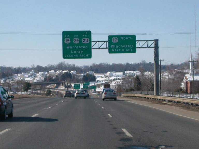
This is northbound on US 15/US 17/US 29, approaching the south end of the Warrenton Bypass. Photo by Mapmikey, taken January 15, 2007. |
|
|
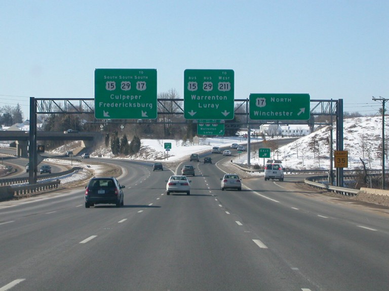
This is northbound on US 15/US 17/US 29 Business routes, right off the south end of the Warrenton Bypass. Photo by Mapmikey, taken December 17, 2005. |
|
|
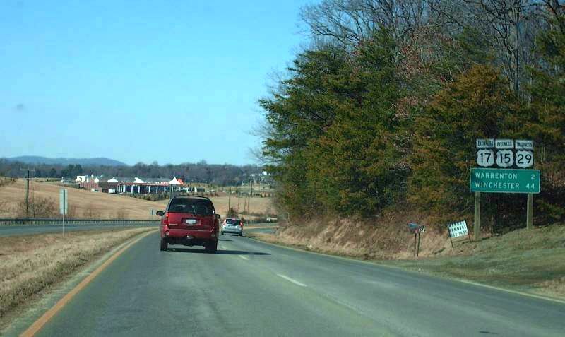
This is southbound approaching the south end of the Warrenton Business routes. Notice the 15-29 North sign on the left with no 17 shield, left over from when US 17 Business was still mainline US 17. Photo by Mapmikey, taken December 17, 2005. |
|
|
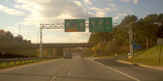
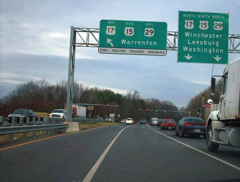
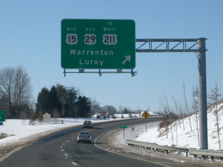
This is southbound on US 15/US 29, approaching the large interchange with US 17 and BUS US 15/BUS US 29. Photo by Tim Reichard, taken February 8, 2003. |
|
|
At the interchange itself. The first exit ramp is to northbound US 17, immediately followed by the split between southbound US 15/US 29 and Business US 15/Business US 29. Photo by Tim Reichard, taken February 8, 2003. |
|
|
BGS at the split. Photo by Tim Reichard, taken February 8, 2003. |
Back to VA Highway Endings
Back to US 29
listing
Last Updated: January 15, 2017
(C) 2017-2003 Adam Froehlig, Mike Roberson