
U.S. Highway 60
|
|
Western Terminus |
Eastern Terminus |
|
Virginia |
WV/VA State Line east of White Sulphur Springs, WV |
Near the Virginia Beach Oceanfront** |
|
Nationally |
At I-10 near Quartzsite, AZ |
Near the Virginia Beach Oceanfront** |
** - Previously going to Camp Pendleton, US 60 was truncated back to Rudee Inlet in the early 1960s. At one point there was an END sign at the south end of the bridge over Rudee Inlet (connecting General Booth Blvd to the south with Pacific Ave to the north). This END sign disappeared for years, until early August, 2004 when the sign was finally replaced, as seen below.
Western Terminus
|
|
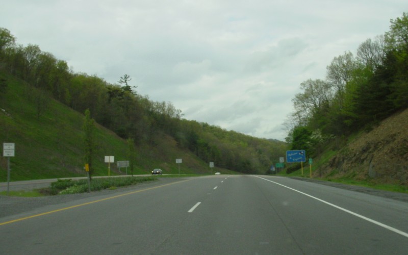
Eastbound heading into Virginia from West Virginia, duplexed with I-64. Photo by Adam Froehlig, taken May 6, 2003. |
|
|
Westbound heading into West Virginia Photo by Mapmikey, taken January 26, 2007. |
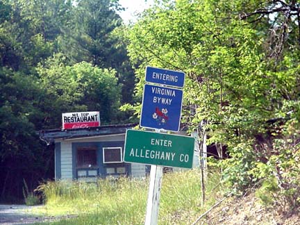
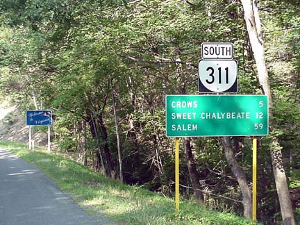
Former Western Terminus
|
|
From 1927-1949, US 60 left Virginia at the crossing used by VA 311 today, just south of I-64. Photos 1,2 and 4 by H.B. Elkins; Photo 3 by Mapmikey, taken January 26, 2007. |
Posted Eastern Terminus
|
|
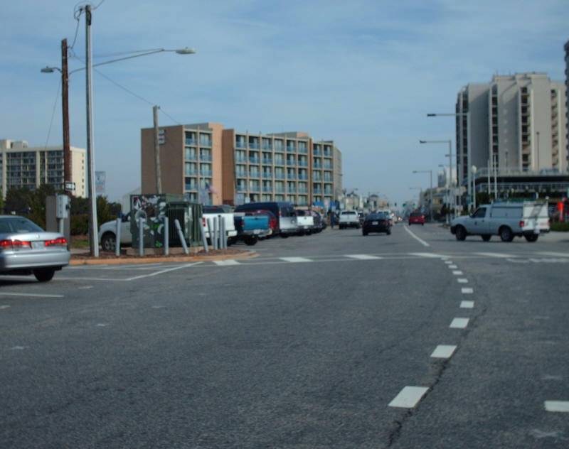
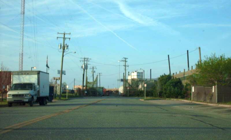
This is looking southbound at the intersection of Pacific Ave (to the north/behind me), General Booth Blvd (to the south, ahead of me), Rudee Point Rd (to the left), and Harbour Point Rd (to the right). The Rudee Inlet bridge is just behind me. Unsigned for years, this END sign was finally replaced in early August, 2004. It turns out US 60 has never officially been routed this way. Photo by Adam Froehlig, taken August 16, 2004. |
|
|
It didn't look much different prior to the END shield being added, as seen in this photo. Photo by Adam Froehlig, taken February 23, 2003. |
|
|
Here's the view from Rudee Point Rd. US 60 West begins to the right. Photo by Adam Froehlig, taken February 23, 2003. |
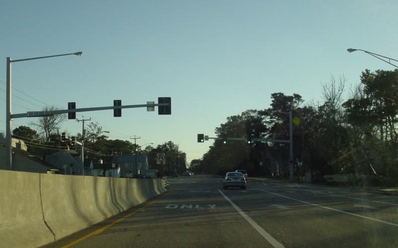
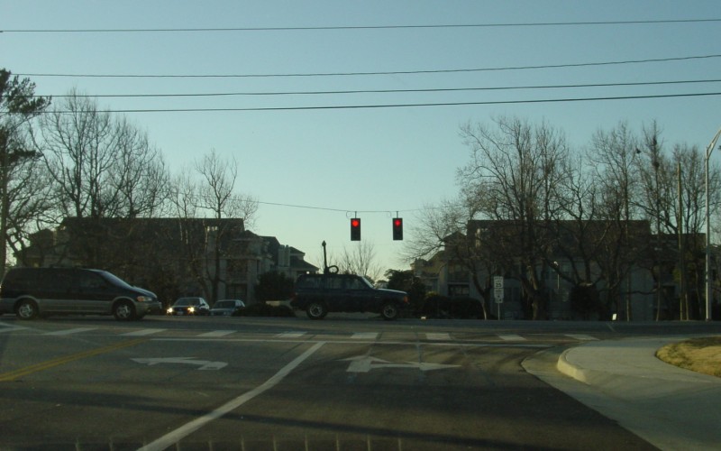
Actual Eastern Terminus
|
|
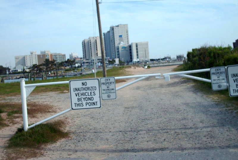
This is looking southbound on Atlantic Ave at the turnaround at Rudee Inlet. Officially US 60 has ended here since 1963. Photo by Mapmikey, taken April 19, 2008. |
|
|
This is looking northbound on Atlantic Ave. Photo by Mapmikey, taken April 19, 2008. |
Former Eastern Terminus (1933-61)
|
|
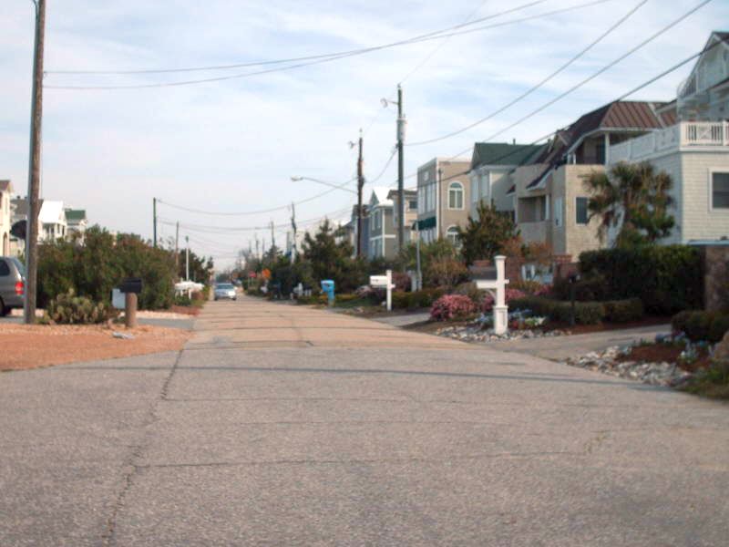
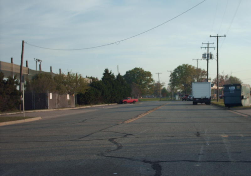
This is looking southbound on Atlantic Ave, about a mile south of Rudee Inlet. From 1933-61, US 60 continued across the inlet to Camp Pendleton which is no longer accessible from Atlantic Ave. Photo by Mapmikey, taken April 19, 2008. |
|
|
This is looking northbound on Atlantic Ave from the endpoint. Atlantic Ave down here is still very narrow concrete left over from way back in time... Photo by Mapmikey, taken April 19, 2008. |
Temporary Terminus (1940s-61)
|
|
Former Eastern Termini (1929-33)
|
|
From 1930-33, US 60 ended at the intersection of 17th and Atlantic. This is looking southbound on Atlantic Ave as US 60 ended at 17th (then US 117). Photo by Mapmikey, taken April 19, 2008. |
|
|
From 1929-30, US 60 ended at the same intersection, but came in as a duplex with US 117. This is looking eastbound on 17th at Atlantic Ave (then VA 501) Photo by Mapmikey, taken April 19, 2008. |
Former Eastern Terminus (1927-29)
|
|
From 1927-29, US 60 ended at the south end of Jefferson Ave in Newport News where a ferry went to Norfolk. This is looking south on Jefferson at the end. Photo by Mapmikey, taken April 19, 2008. |
|
|
This is looking northbound on Jefferson. Photo by Mapmikey, taken April 19, 2008. |
Back to VA Highway Endings
Back to US 60 listing
Last Updated: May 26, 2017
(C) 2017-2005, Adam Froehlig, Mike Roberson