Virginia Highway 168
|
Southern Terminus |
Northern Terminus |
| NC/VA State Line at Chesapeake, VA | At US 60 in Norfolk, VA |
Southern Terminus
|
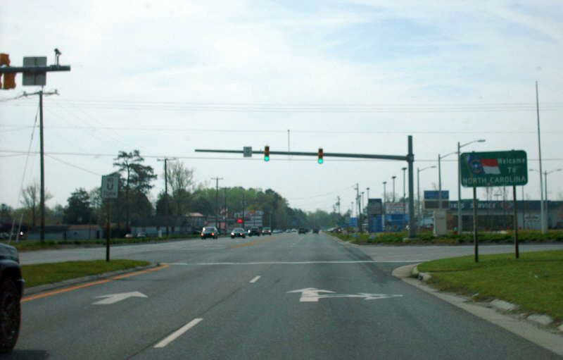
|
Here is VA 168 reaching the NC State Line where it has ended since 1957. Photo by Mapmikey, taken April 19, 2008. |
Historic Southern Terminus (1944-57)
|
|
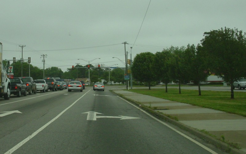
This is a view of the eastern end of old VA 168 which began to the left from 1944-57 from westbound US 60/Shore Dr. Photo by Adam Froehlig, taken May 17, 2003. |
|
|
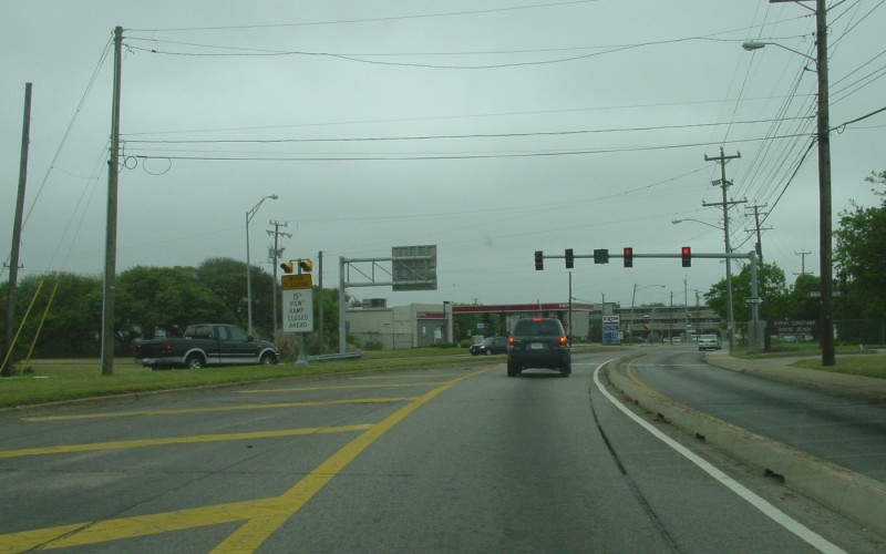
Approaching VA 170 (old VA 168) on US 60 westbound a little further out. Here we see an erroneous circle 170. Photo by Mapmikey, taken April 26, 2007. |
|
|
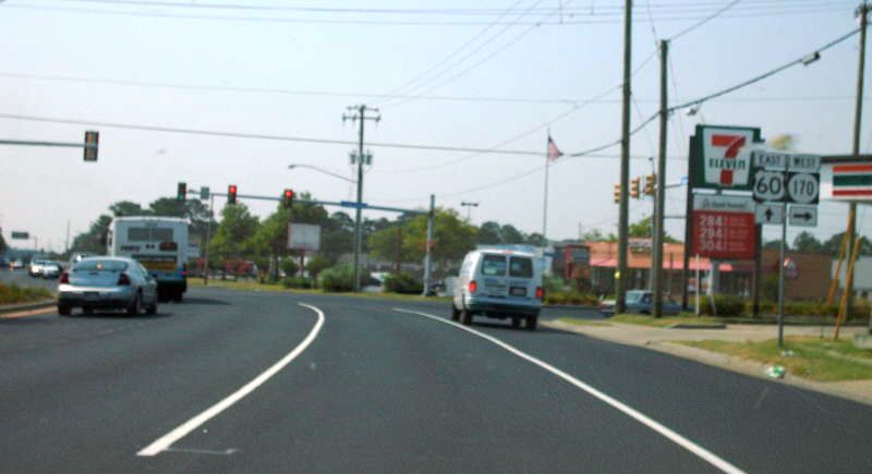
VA 170 (old VA 168) from US 60 eastbound a little further out. Here we see another erroneous circle 170. Photo by Mapmikey, taken July 17, 2007. |
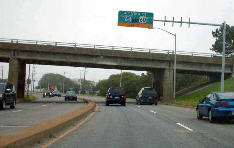
Northern Terminus
|
|
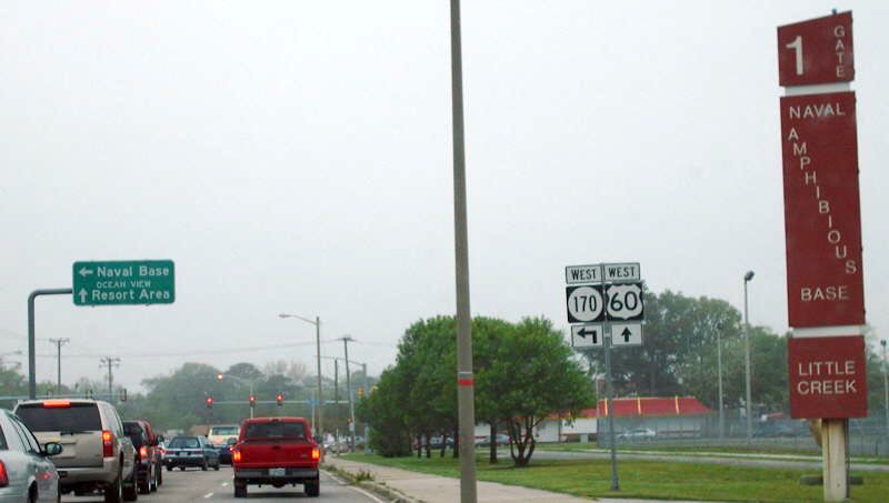
VA 168, which used to follow US 60 and the Hampton Roads Bridge Tunnel into Hampton, now ends at US 60 here in Norfolk. This view, from WB US 60/Ocean View Ave, has changed since this photo was taken, in that there is channelization between this junction and the 4th View St intersection and there is no longer a traffic signal here. Photo by Adam Froehlig, taken May 17, 2003. |
|
|
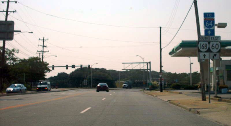
Here is the view from VA 168 north at US 60. Photo by Mapmikey, taken April 26, 2007. |
|
|
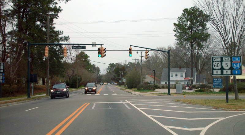
Here is the view from US 60 east, with a funky 168 shield and a white I-60 shield. Photo by Mapmikey, taken July 17, 2007. |
Historic Northern Terminus (1938-80)
|
|
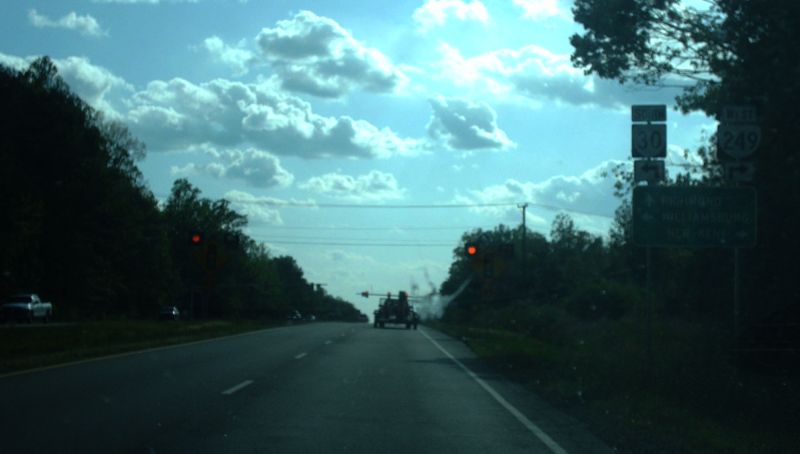
From VA 30 northbound. This was VA 168 coming to its end at VA 33 from 1938-80. Photo by Mapmikey, taken April 20, 2007. |
|
|
From VA 249 eastbound. VA 168 began ahead. Photo by Mapmikey, taken September 9, 2006. |
|
|
Historic Northern Terminus (1937-38)
|
|
Back to VA Highway Endings
Back to
VA 168 listing
Last Updated: May 27, 2017
(C) 2017-2005, Adam Froehlig, Mike Roberson