U.S. 19-E
< 19 | Home | 19-W >
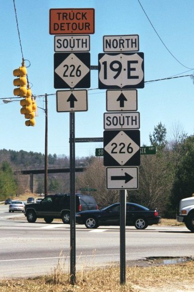
Photo: US 19-E at NC 226 (Mark Clifton)
| U.S. 19-E 48 miles | |||
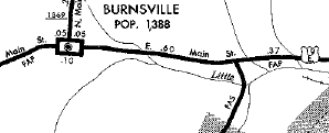
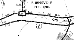
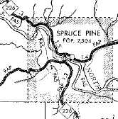
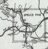
| The Road: | Begins at US 19-19E Cane River (Yancey County) and ends at the Tennessee Line near Elk Park (Avery County). The route continues to US 19-19E in Bluff City, TN. | Towns and Attractions: | Yancey Co.: Burnsville Mitchell Co.: Spruce Pine Avery Co.: Pisgah Nat'l Forest |
History: |
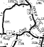
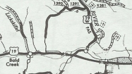
US 19E was born in 1930 as a renumbering of US 19. US 19E followed SR 1454 Cane River Middle School Rd to about Riverside. US 19E likely used SRs 1195 and 1196 to zig zag over to Main St Burnsville.
US 19 used SR 1428 Main St through town, then some US 19E. It used Old US 19E to Windom. Past there US 19E used today's US 19E until Micaville, where it used SR 1186 and a little NC 80 and SR 1424. East of there, 19E picked up US 19E again, plus several short loops of old highway to Mitchell County.
US 19E followed US 19E in Mitchell county except for a brief Old US 19E east of Eastatoe over to Spruce Pine. US 19E used Greenwood Rd then NC 226 to cross North Toe River, then Oak St and Cabin road to continue east. US 19 then used essentially US 19E all the way to Tennessee.
US 19E becoming US 19A? 1935 Gen Draft Between 1937-44, US 19E was removed from SE 1141 Cabin Rd east of Spruce Pine. In 1960, US 19E was placed on its modern routing in the Eastatoe area. The old route is SR 1233 Veed Garland Rd; SR 1157 Hoot Owl Rd; SR 1234 Burleson Cir; SR 1235/1236 Old US 19E In 1962, US 19E was placed on its modern routing through Micaville and Newdale. The old route is SR 1186 Micaville Loop; NC 80; SR 1435 Stream Rd; NC 80; SR 1424 Deneen RdSR 1185 Sycamoe Cir; SR 1423 Newdale Church Rd Between 1963-68, US 19E was placed on its modern routing around Burnsville and Windom. The old route is SR 1428 Main St and SR 1427 Burnsdale School Rd.
|
Comments: |
US 19E should really just be US 19.
I drove all of US 19E once but it was in the middle of the night in 1988 so I don't have any real memory of the route. |
Last Update: 14 March 2025
Previous: U.S. 19 |
Next: U.S. 19-W
Top | NCRoads.com
Home