 |
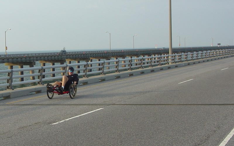
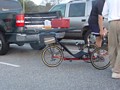
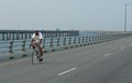
As I searched for a parking spot, I passed by this
odd-looking bicycle. The owner was apparently well-fit and well-versed in
the bike's use...he was starting a second round trip as I finished up my own
ride. This was the first of quite a few unique bicycles I saw at the
event. |

 |
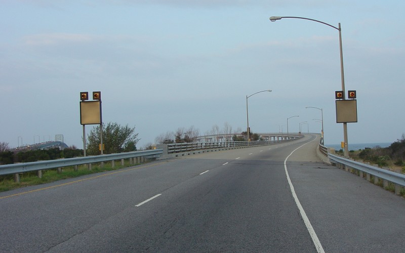
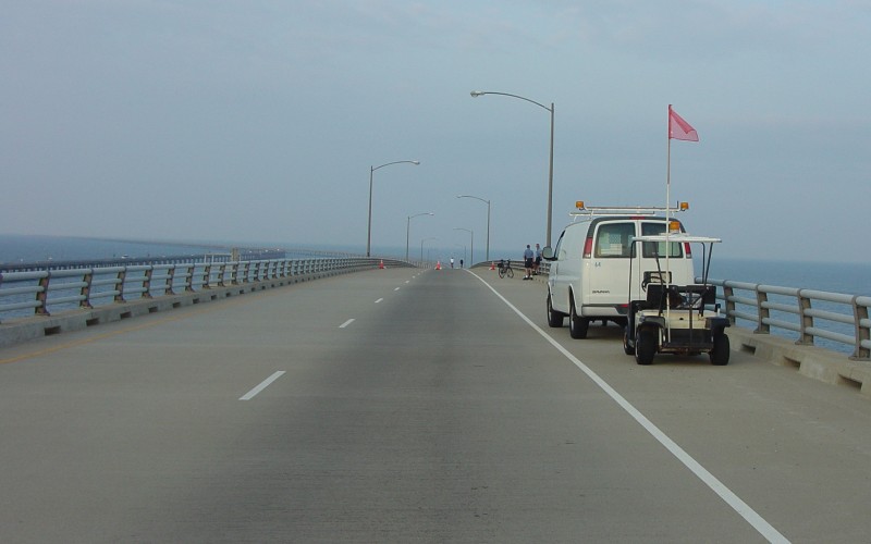
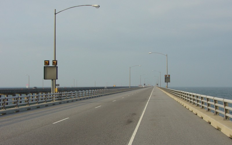
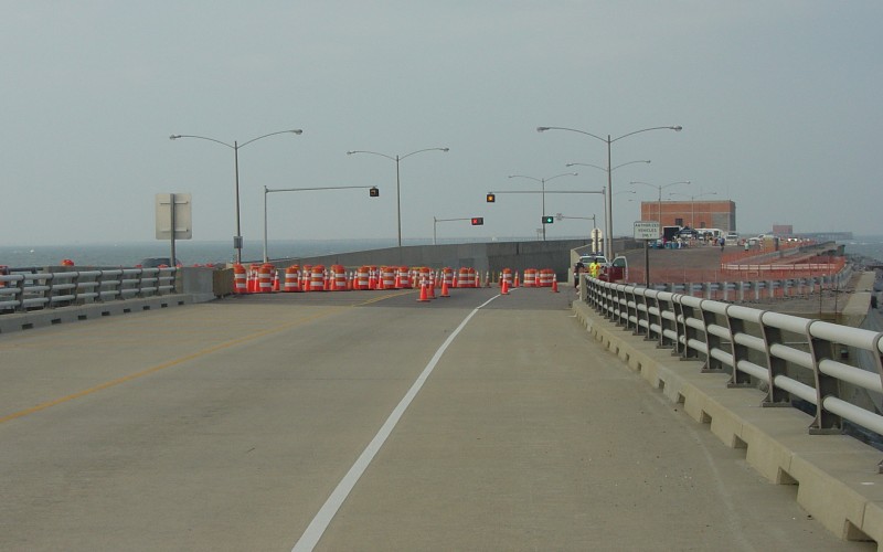
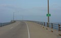
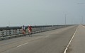
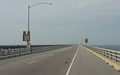
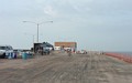
Starting my trip south. The far right tollbooth
was cordoned off to allow the bikers to travel through and get between the CBBT
and the parking areas. Once southbound traffic was directed over to the
2-lane/2-way travel in the northbound lanes, it was open-sailing for bicyclists,
especially at 7:30am (when I started my ride). Although the event
officially began at 8am, they were allowing people on the CBBT early.
Also, the 2nd photo and subsequent photos below will
show a noticeable increase in northbound traffic between ~7:15am when I got to
the parking lot and after 7:30am when I began my ride. |
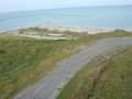 |
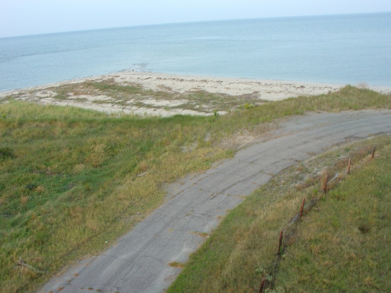
This curiously-paved pathway runs underneath the
north end of the Fisherman's Inlet bridge. Not sure where it goes to. |

 |
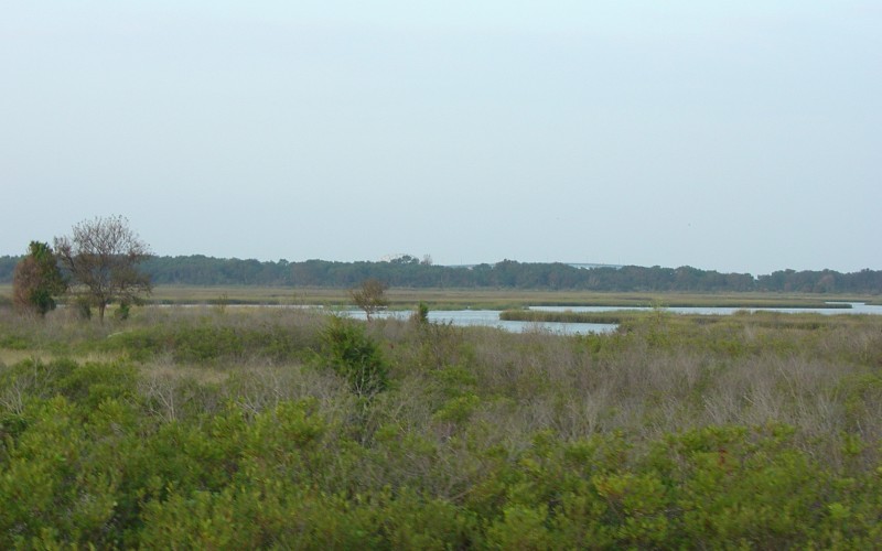
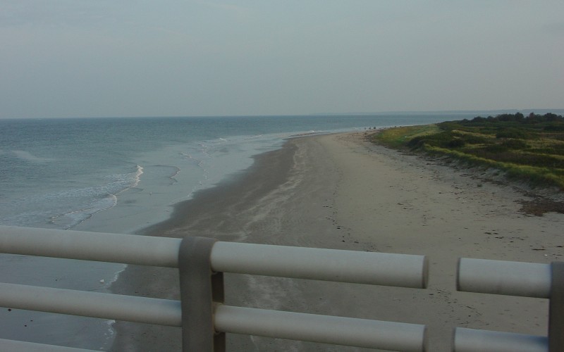
Crossing onto and taking a view of Fisherman's
Island, which is also a National Wildlife Refuge.
If you look closely, you can see the southbound bridge over
the North Channel behind the trees in the bottom photo. |
 |
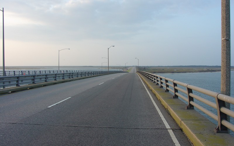
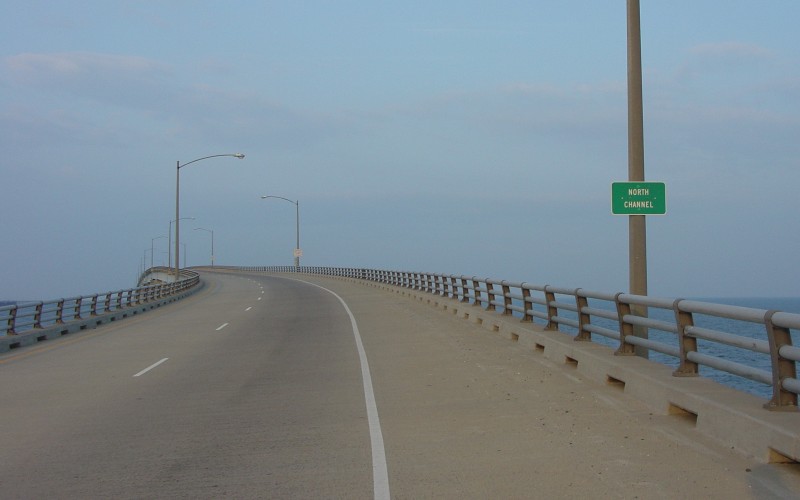
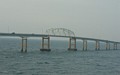
The southbound beginning to the CBBT itself involves
the bridge over the North Channel. The reason for the height of the North
Channel bridge is to allow smaller non-oceangoing vessels another way to transit
across the CBBT. The bridge offers 75 feet of navigable clearance at high
water, a good bit higher than the 40 feet of vertical clearance at the
Fisherman's Inlet bridge. |
 |
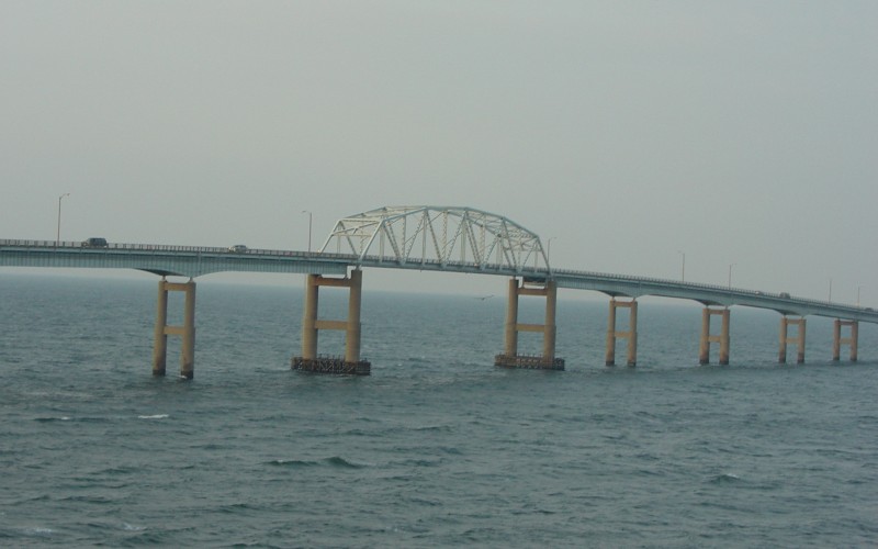
A view of the older northbound span over the North
Channel. |
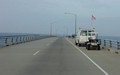 |
A few CBBT employees and two bike cops were sitting
at the top of the North Channel bridge to offer assistance to anyone who needed
it. During my ride, I noticed bicycle cops from both Norfolk and Virginia
Beach participating in the event and patrolling along the bridge. |
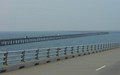 |
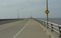
By this time (~7:50am), northbound traffic was
noticeably thicker along the CBBT. |
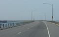 |
Rounding the curve at the bottom of the North Channel
bridge. |
 |
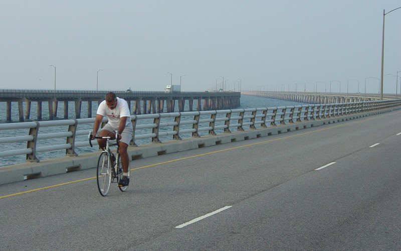
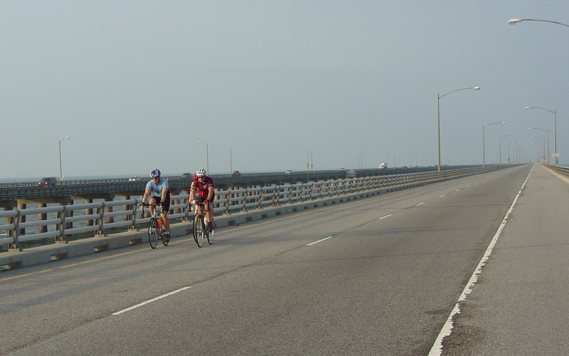
First biker to pass me going the other direction,
after I'd already traveled close to 5 miles. Since I started early, there
were very few bikers who had started before me...less than two dozen. I
managed to pass a few of them before I got to the turnaround.
The second photo was the second set of bikers to pass
me going the opposite direction. |
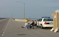 |
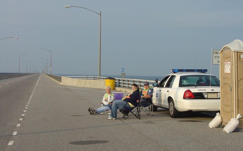
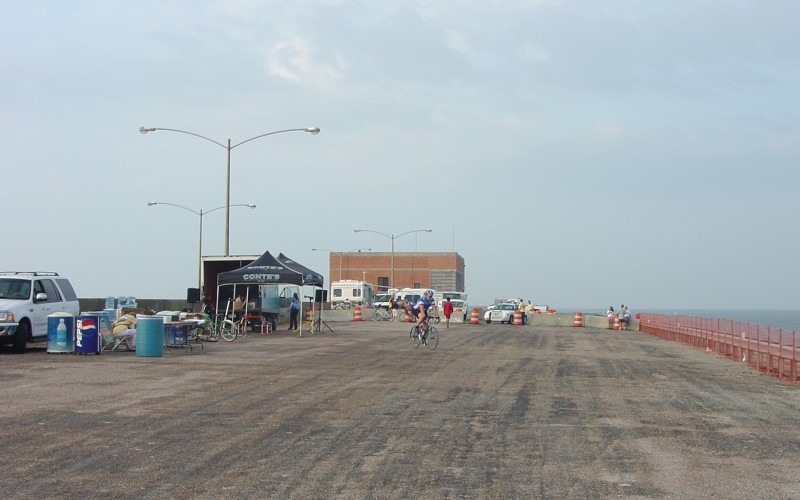
An aid station and porta-potty set up in one of the
emergency parking areas a couple miles north of the turnaround point. |
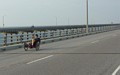 |
This is where the gentleman with the "odd bike"
pictured above at the top passed me. He would pass me yet again as he
started a second round trip later (photo on my NB bike page). |
 |
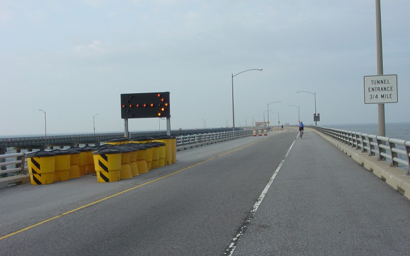
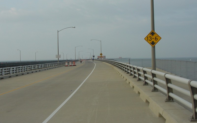
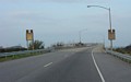
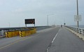
Various signage as one approaches the Chesapeake
Channel tunnel. |
 |
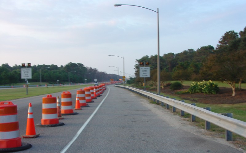
Almost at the turnaround-point on the northernmost
island. The cones provide traffic separation both for the bikes going to
the end and also for vehicle traffic going in and out of the tunnel.
|
 |
Here we are at the turnaround point, with porta-potties,
water and snacks, and a sporting goods display set up. In part because of
the wind, it took me 54 minutes to get here, for an average of 9.4 MPH.
Considering I made about 6 minutes worth of stops, my actual average would have
been about 10.6 MPH. |