 |
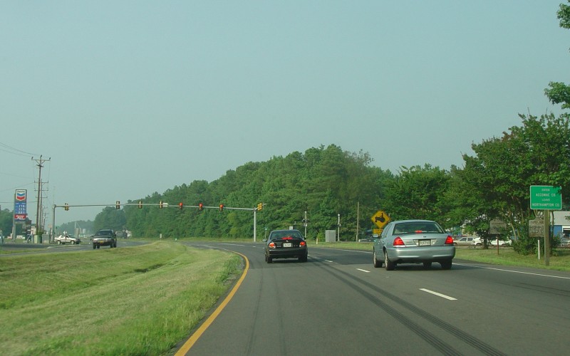
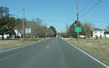
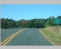
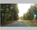
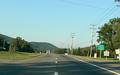
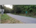
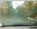
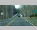
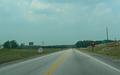
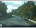
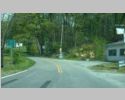
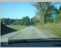
Northbound US 13 near Exmore, entering
Accomack County. Photo by Adam Froehlig, taken July 26, 2005. |
 |
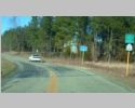
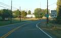
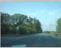
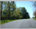
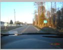
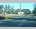
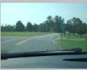
Northbound VA 178 near Belle Haven, entering
Accomack County. Photo by Adam Froehlig, taken January 31, 2004. |
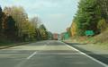 |
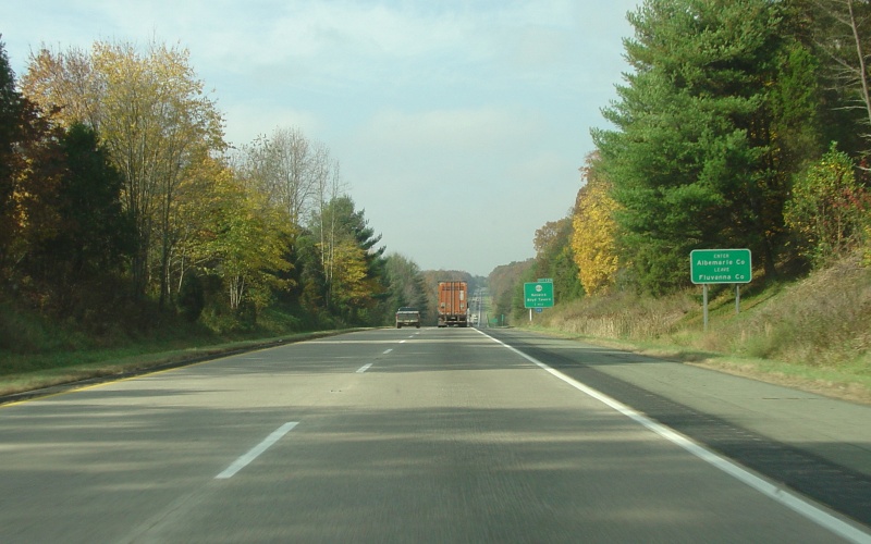
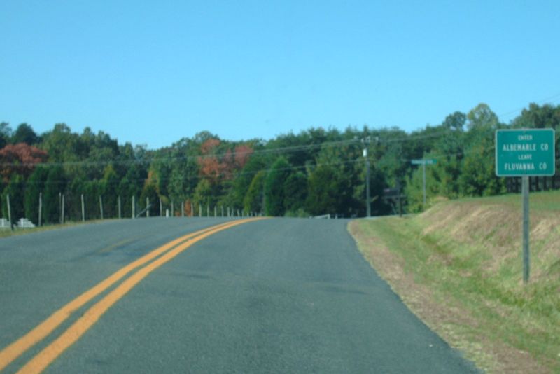
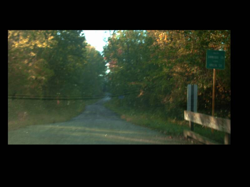
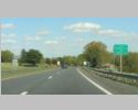
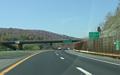
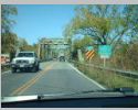
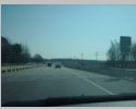
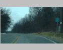
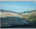
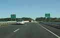
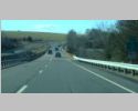
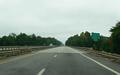
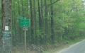
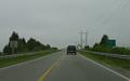
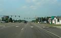
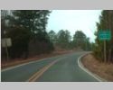
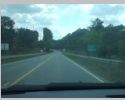
Westbound I-64 west of Zion Crossroads,
entering Albemarle County. Photo by Adam Froehlig, taken October
30, 2004. |
 |
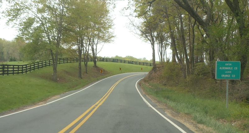
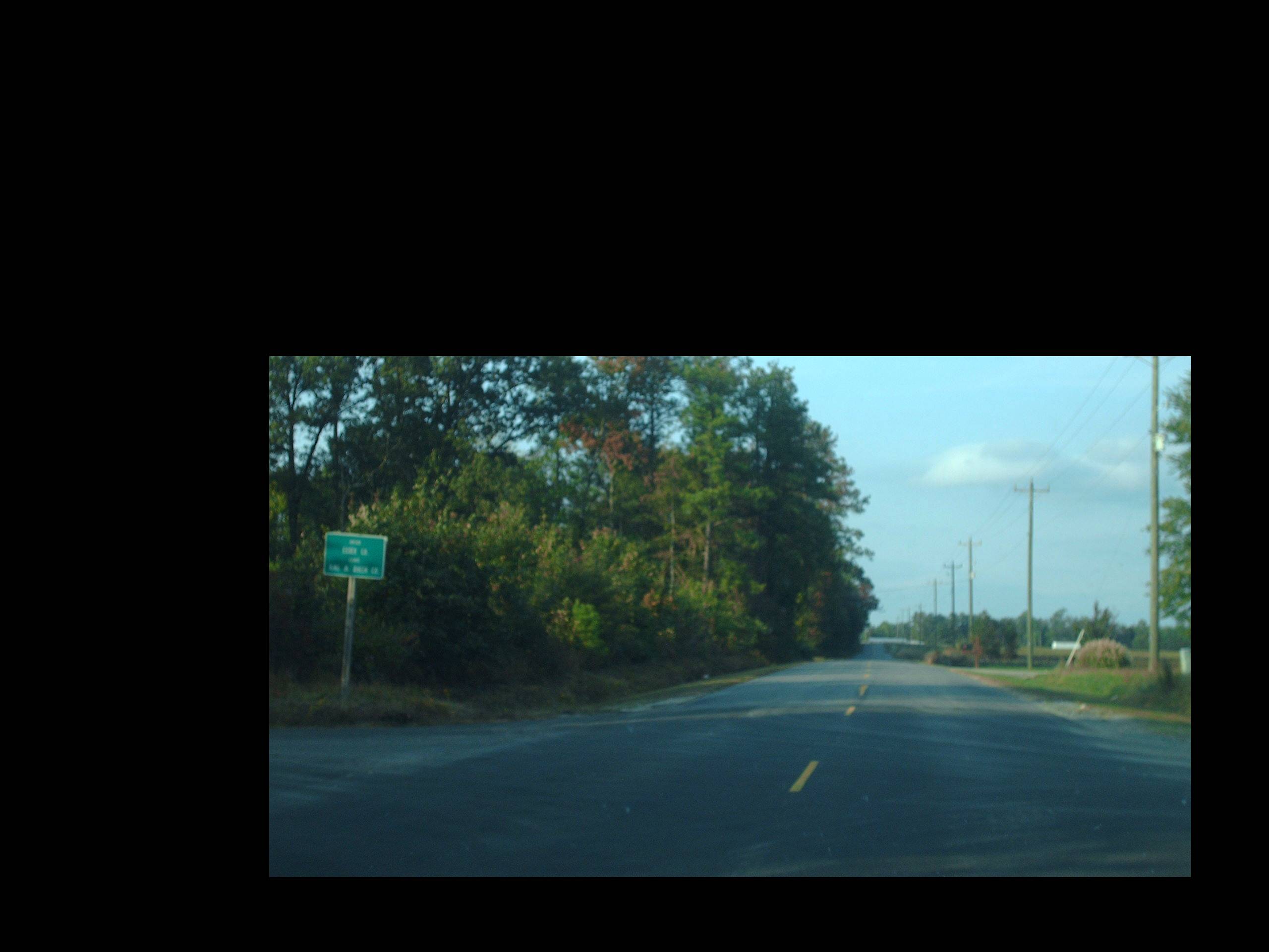
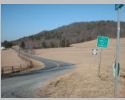
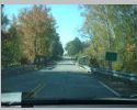
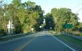
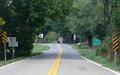
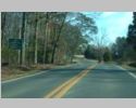
 Southbound VA 20 near Barboursville, entering Albemarle County from Orange County. Photo by Mapmikey, taken April 23, 2013. Southbound VA 20 near Barboursville, entering Albemarle County from Orange County. Photo by Mapmikey, taken April 23, 2013. |
 |
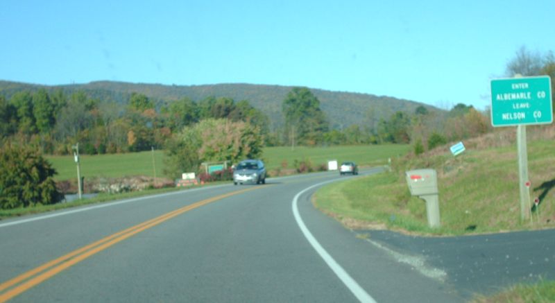
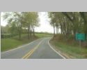
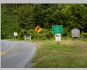
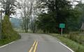
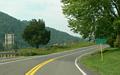
Northbound VA 151 at Critzers Shop, entering Albemarle County from Nelson County. Photo by Mapmikey, taken October 21, 2009. |
 |
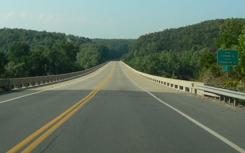
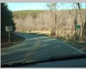
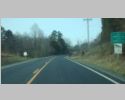
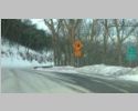
Westbound SR 618 near Lake Monticello, entering Albemarle County from Fluvanna County. Photo by Mapmikey, taken October 21, 2009. |
 |
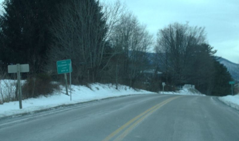
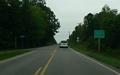
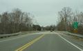
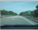
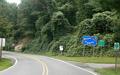
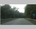
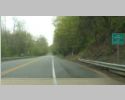
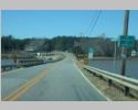
Eastbound I-64 near Covington, entering
Alleghany County. Photo by Adam Froehlig, taken May 6, 2003. |
 |
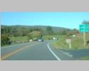
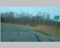
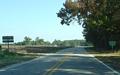
Southbound US 220 at Valley View, entering Alleghany County from Bath County. Photo by Mapmikey, taken January 11, 2010. |
 |
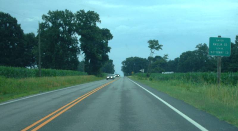
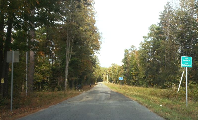
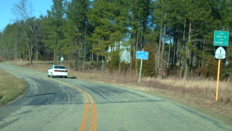
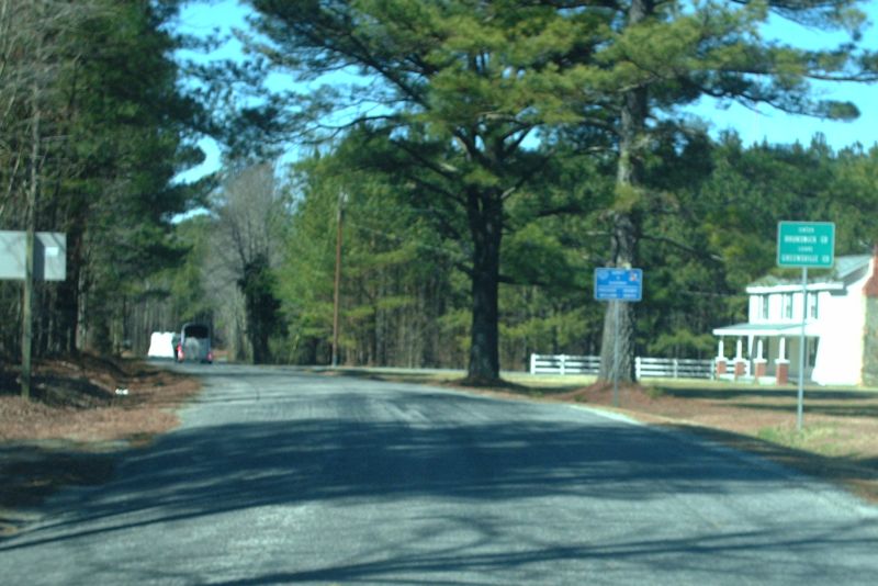
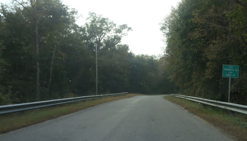
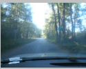
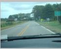
Eastbound VA 307 near Jetersville, entering Amelia County from Nottoway County. Photo by Mapmikey. |
 |
Eastbound SR 615 near Denaro, entering Amelia County from Nottoway County. Photo by Mapmikey, taken October 22, 2013. |
 |
Northbound SR 616 near Deatonville, entering Amelia County from Nottoway County. Photo by Mapmikey, taken March 6, 2010. |
 |
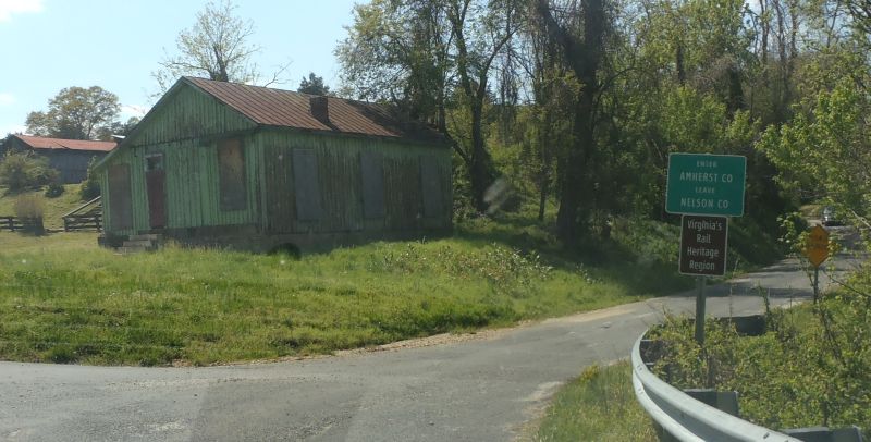
Southbound SR 622 at Allens Creek, entering Amherst County from Nelson County. Photo by Mapmikey, taken October 22, 2013. |
 |
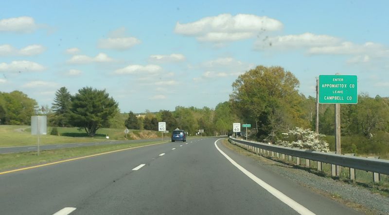
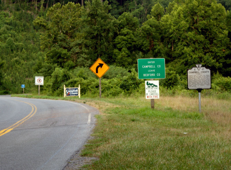
Eastbound US 460/VA 24 at Concord, entering Appomattox County from Campbell County. Photo by Mapmikey, taken April 23, 2013. |
 |
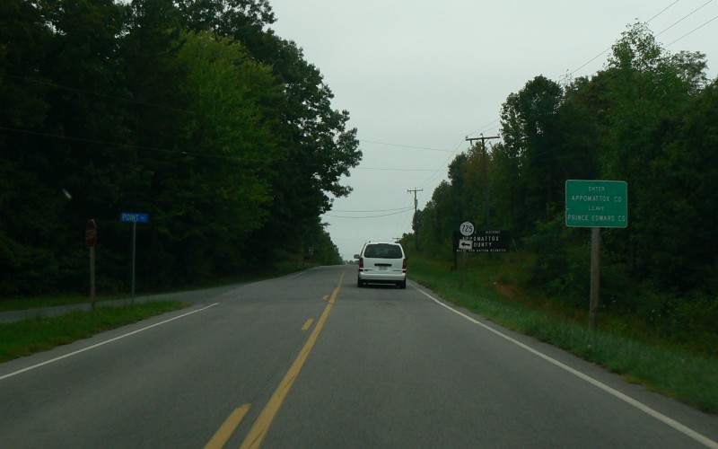
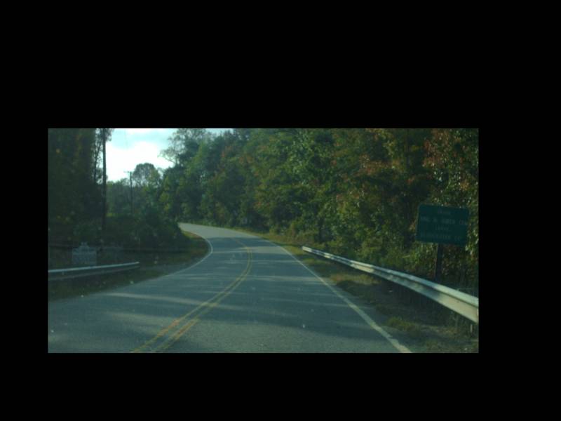
Northbound VA 47 near Pamplin City, entering
Appomattox County. Photo by Adam Froehlig, taken September 11,
2008. |
 |
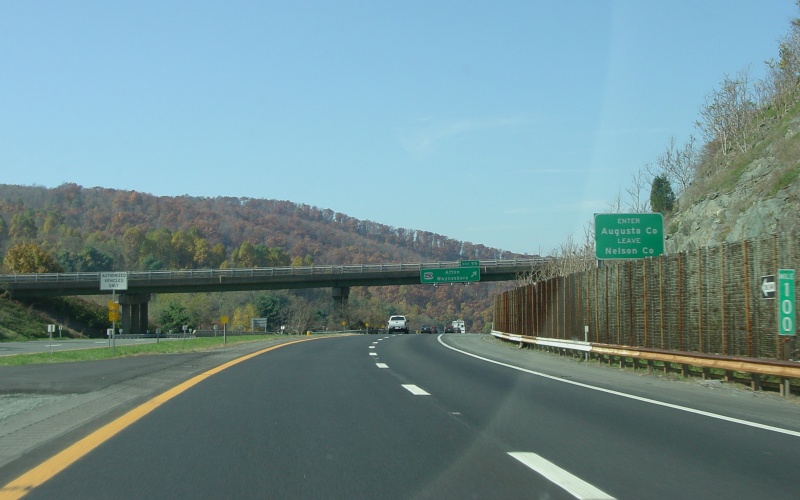
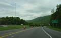
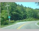
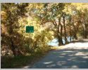
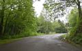
Westbound I-64 at Rockfish Gap, entering
Augusta County. Photo by Adam Froehlig, taken October 30, 2004. |
 |
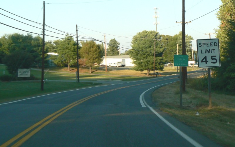
Northbound US 221 near Bedford, re-entering
Bedford County from within the independent city. Photo by Adam
Froehlig, taken September 11, 2008. |
 |
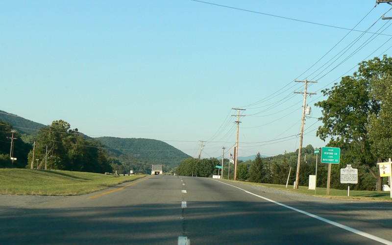
Eastbound US 221/US 460 northeast of Roanoke,
entering Bedford County. Photo by Adam Froehlig, taken September
11, 2008. |
 |
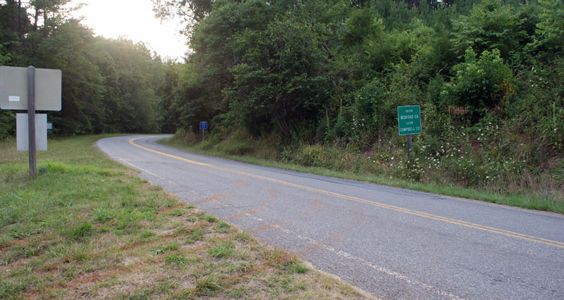
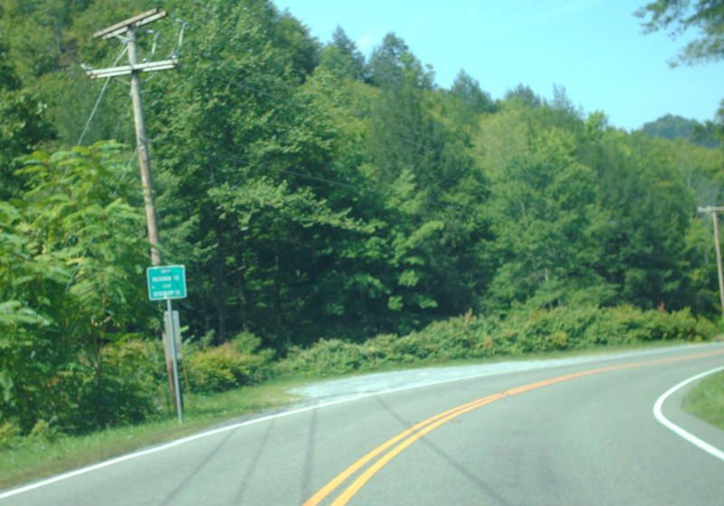
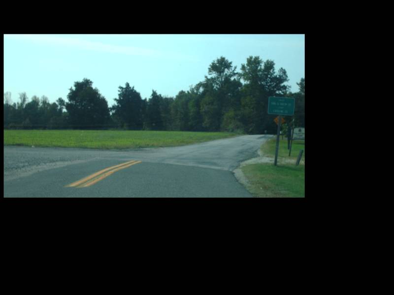
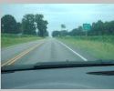
Westbound VA 24 near Evington, entering Bedford County from Campbell County. Photo by Mapmikey, taken December 11, 2009. |
 |
Northbound VA 43 near Leesville, entering Bedford County from Campbell County. Photo by Bruce Harper, taken July 16, 2010. |
 |
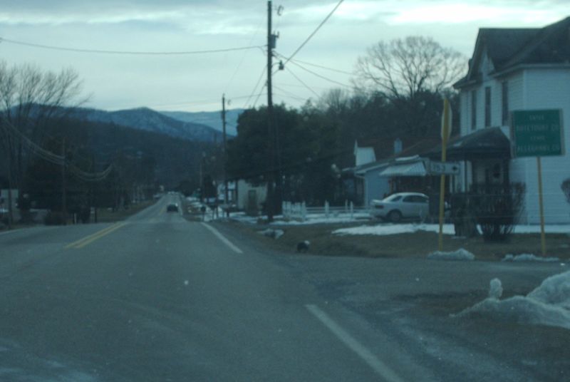
Southbound US 220 at Iron Gate, entering Botetourt County from Alleghany County. Photo by Mapmikey, taken January 11, 2010. |
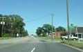 |
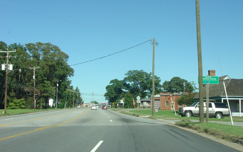
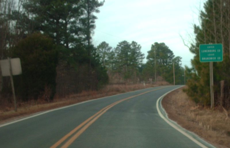
Eastbound US 58 in Brodnax, entering Brunswick
County. Photo by Adam Froehlig, taken September 19, 2004. |
 |
Westbound SR 600 near Barley, entering Brunswick County from Greensville County. Photo by Mapmikey, taken March 6, 2010. |
 |
Westbound VA 80 near Bee, entering Buchanan County from Dickenson County. Photo by Mapmikey, taken September 5, 2009. |
 |
Northbound US 15 west of Farmville, entering
Buckingham County. Photo by Adam Froehlig, taken May 31, 2008. |
 |
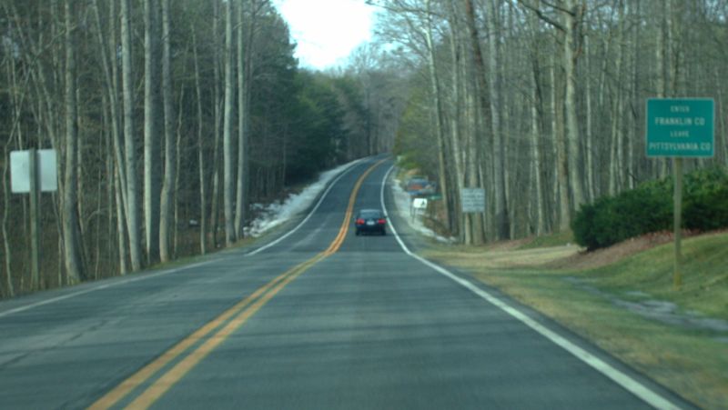
Northbound US 29 BUS at Hurt, entering Campbell County from Pittsylvania County. Photo by Mapmikey, taken October 21, 2010. |
 |
Southbound VA 43 near Leesville, entering Campbell County from Bedford County. Photo by Bruce Harper, taken July 16, 2010. |
 |
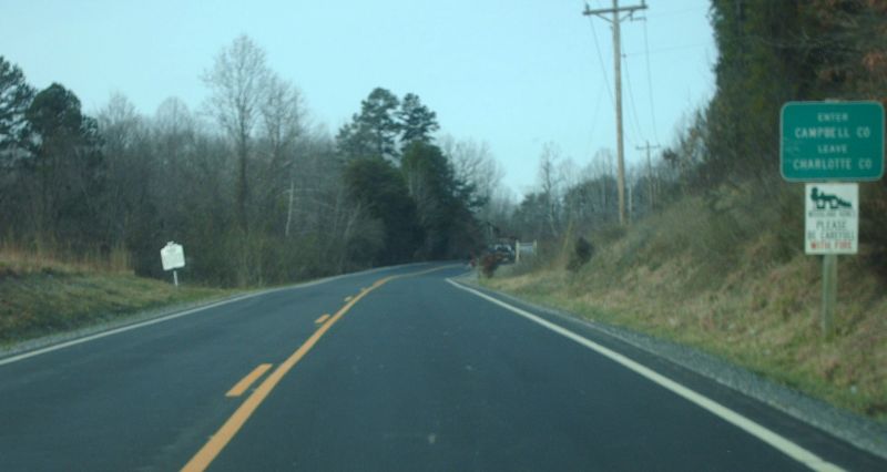
Westbound VA 40 near Brookneal, entering Campbell County from Charlotte County. Photo by Mapmikey, taken January 16, 2010. |
 |
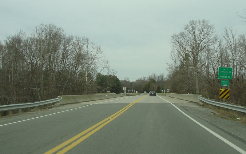
Northbound US 301/VA 2 north of Hanover,
entering Caroline County. Photo by Adam Froehlig, taken December
24, 2004. |
 |
Eastbound VA 30 near Dawn, entering Caroline County from Hanover County. Photo by Mapmikey. |
 |
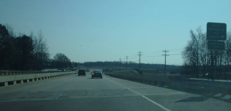
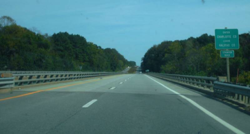
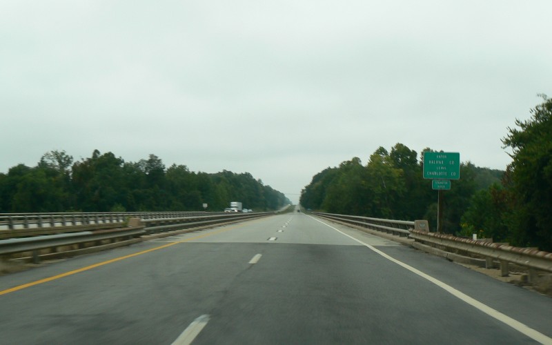
Eastbound US 360 near Clover, entering Charlotte County from Halifax County. Photo by Mapmikey. |
 |
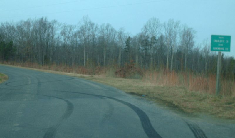
Westbound SR 623 near Wallaces Store, entering Charlotte County from Lunenburg County. Photo by Mapmikey, taken January 16, 2010. |
 |
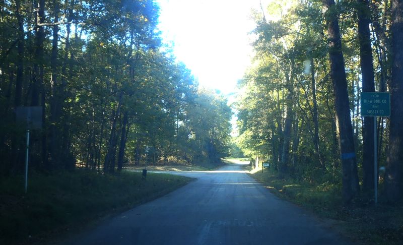
Northbound SR 618 (old VA 24) near Stony Creek, entering Dinwiddie County from Sussex County. Photo by Mapmikey, taken October 16, 2012. |
 |
Southbound SR 622 near Ammon, entering Dinwiddie County from Amelia County. Photo by Mapmikey, taken October 21, 2010. |
 |
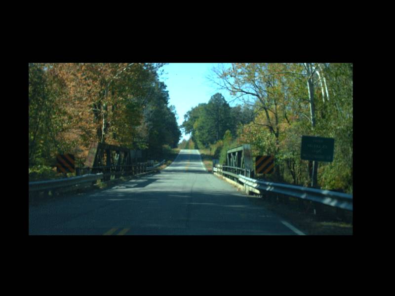
Northbound SR 620 at Powcan, entering Essex County from King and Queen County. Photo by Mapmikey, taken October 19, 2010. |
 |
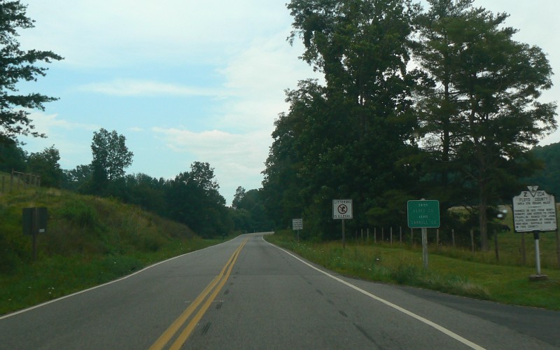
Northbound US 221 northeast of Hillsville,
entering Floyd County. Photo by Adam Froehlig, taken August 7,
2008. |
 |
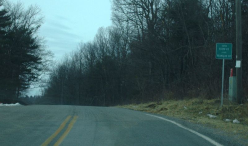
Westbound SR 640, entering Floyd County from Franklin County. Photo by Mapmikey, taken January 16, 2010. |
 |
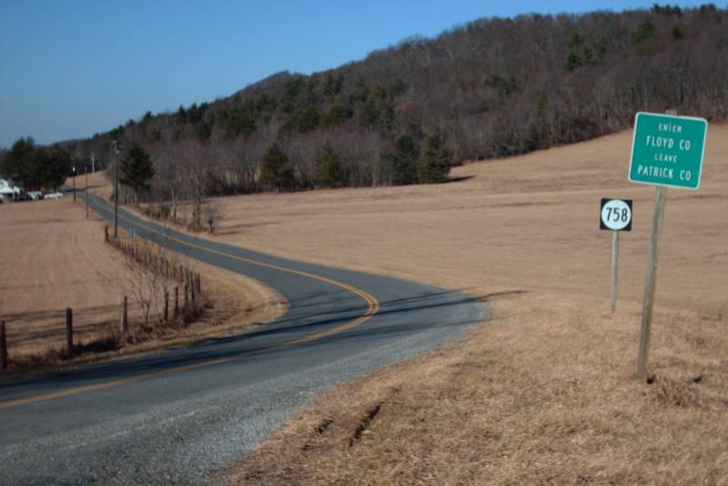
Northbound SR 758 (old VA 102) near Meadows of Dan, entering Floyd County from Patrick County. Photo by Mapmikey, taken February 13, 2009. |
 |
Northbound US 15 crossing the James River into
Fluvanna County. Photo by Adam Froehlig, taken May 31, 2008. |
 |
Westbound VA 40 at Penhook, entering Franklin County from Pittsylvania County. Photo by Mapmikey, taken January 16, 2010. |
 |
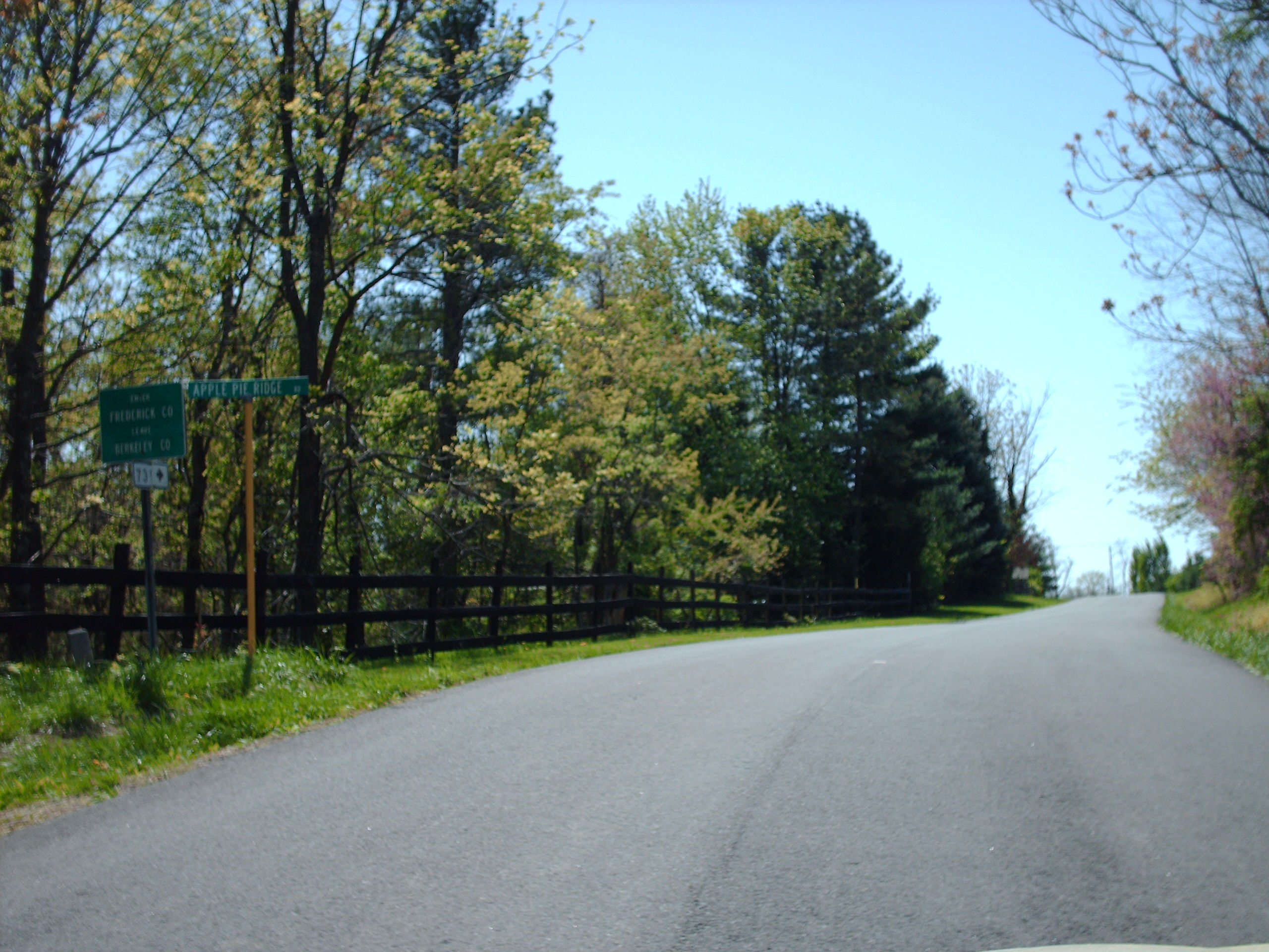
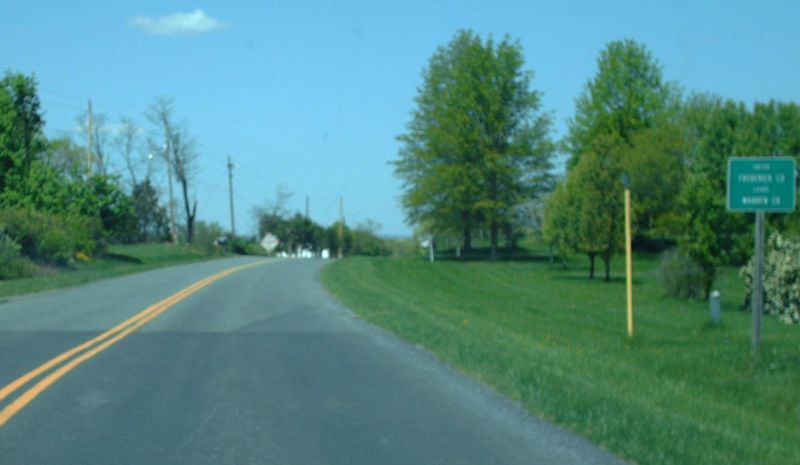
Southbound SR 739 (old VA 3) near White Hall, entering Frederick County from Berkeley County, WV. Photo by Mapmikey, taken April 19, 2010. |
 |
Northbound SR 627 near Reliance, entering Frederick County from Warren County. Photo by Mapmikey, taken April 19, 2010. |
 |
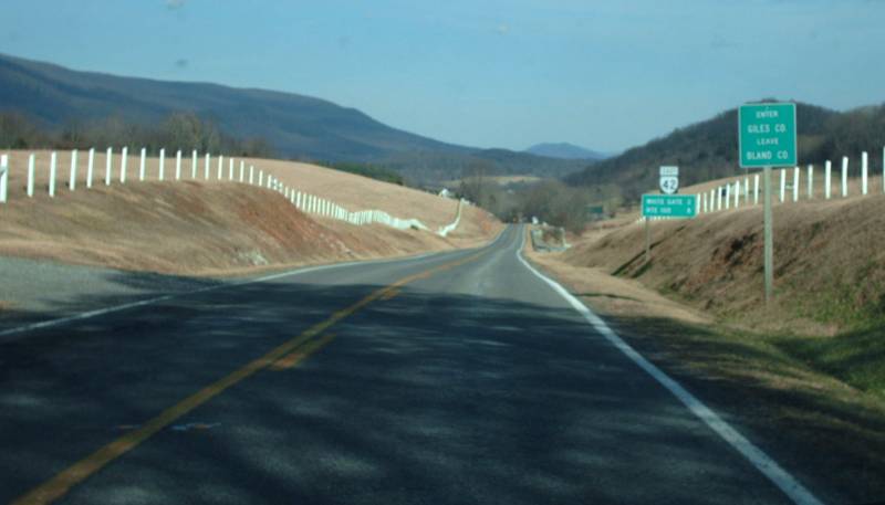
Eastbound VA 42 near White Gate, entering Giles County from Bland County. Photo by Mapmikey, taken February 13, 2009. |
 |
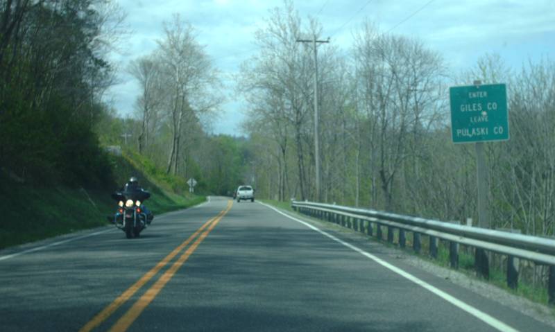
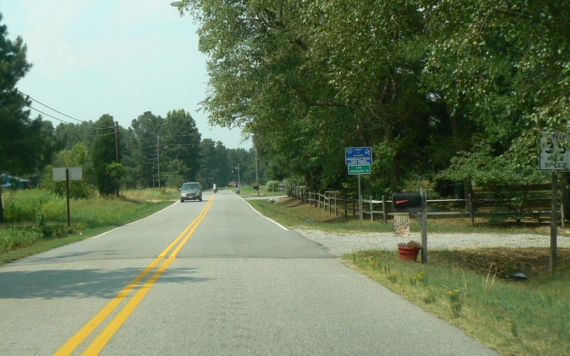
Northbound VA 100 near Poplar Hill, entering Giles County from Pulaski County. This is the only state-maintained road to make this crossing. Photo by Mapmikey, taken April 14, 2012. |
 |
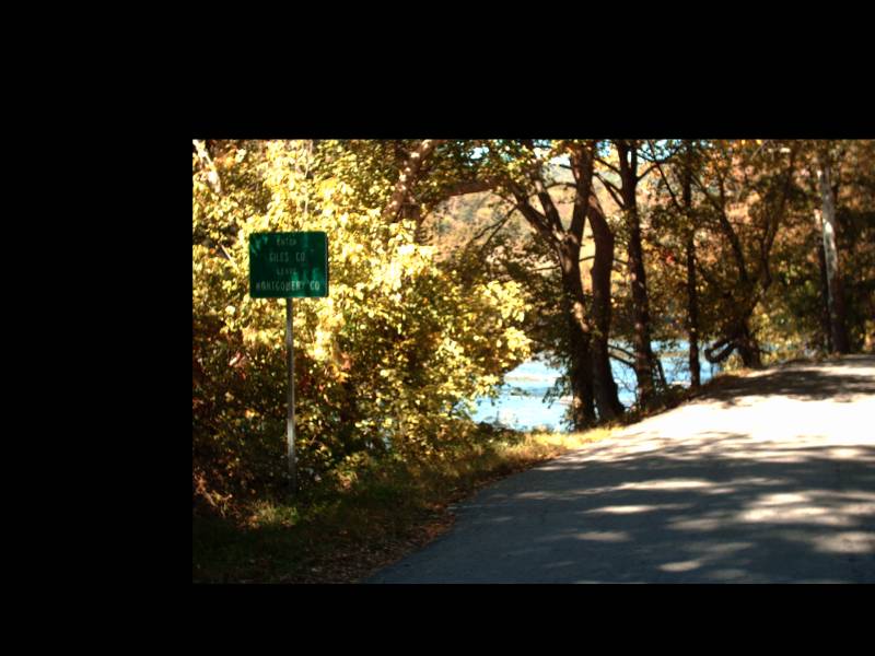
Northbound SR 625 near Goodwins Ferry, entering Giles County from Montgomery County. Photo by Mapmikey, taken October 8, 2010. |
 |
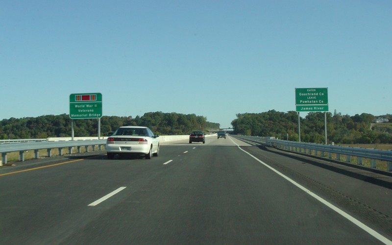
Northbound VA 288 crossing the James River
into Goochland County. Photo by Adam Froehlig, taken October 30,
2004. |
 |
Northbound VA 93 near Mouth of Wilson,
entering Grayson County from Alleghany County, NC. Photo by Adam
Froehlig, taken September 1, 2007. |
 |
Northbound SR 743 (Rugby Rd) southwest of
Volney, entering Grayson County at the terminus of NC 194. Photo
by Adam Froehlig, taken September 1, 2007. |
 |
Southbound US 29 near Burtonville, entering Greene County from Madison County. Photo by Mapmikey, taken January 18, 2010. |
 |
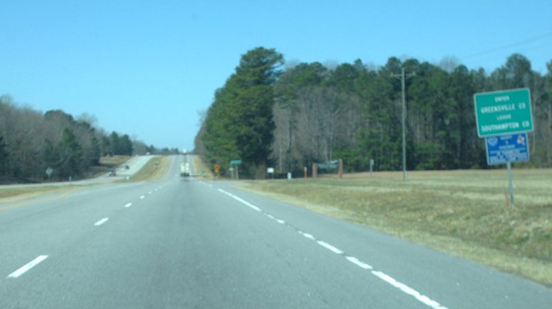
Westbound US 58 near Emporia, entering Greensville County from Southampton County. Photo by Mapmikey, taken March 6, 2010. |
 |
Eastbound SR 611 near Fitzhugh, entering Greensville County from Brunswick County. Photo by Mapmikey, taken March 22, 2013. |
 |
Westbound SR 611 near Grizzard, entering Greensville County from Sussex County. Photo by Mapmikey, taken October 22, 2013. |
 |
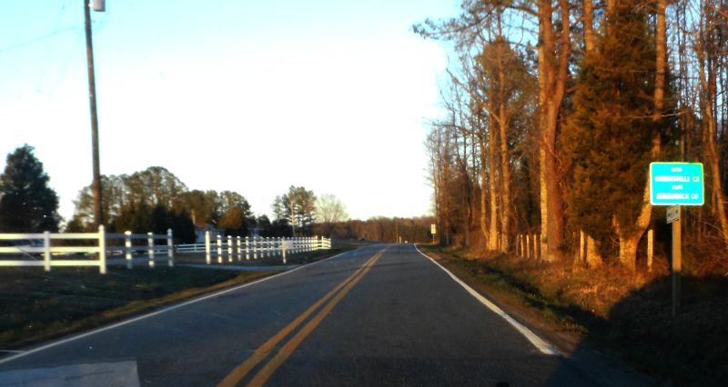
Northbound SR 619 (Purdy Rd), entering
Greensville County from the city of Emporia. Photo by Adam
Froehlig, taken July 28, 2007. |
 |
Northbound SR 627 (Brink Rd) southwest of
Emporia, entering Greensville County from Northampton County, NC (where
it's Oak Grove Church Rd). Photo by Adam Froehlig, taken October
10, 2004. |
 |
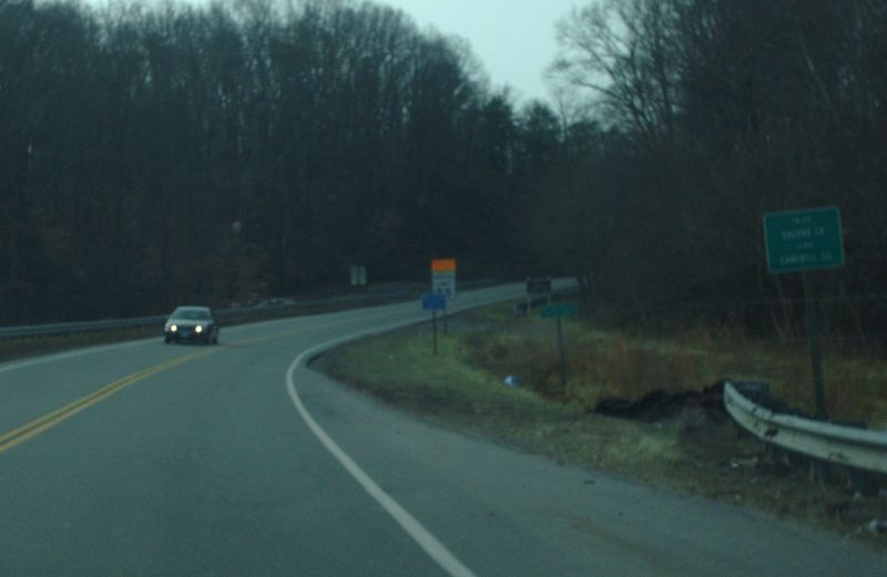
Westbound US 360 near Clover, entering
Halifax County. Photo by Adam Froehlig, taken September 11, 2008. |
 |
Southbound US 501/VA 40 at Brookneal, entering Halifax County from Campbell County. Photo by Mapmikey, taken January 16, 2010. |
 |
Southbound VA 49 near Virgilina, entering Halifax County from Campbell County. Photo by Mapmikey, taken October 21, 2010. |
 |
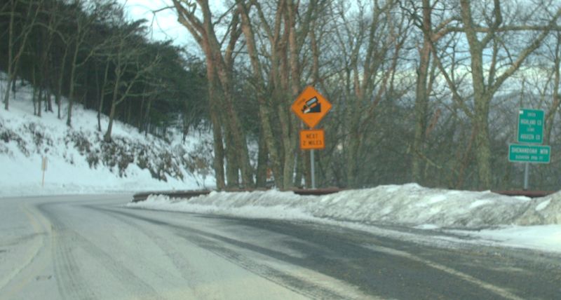
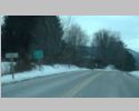
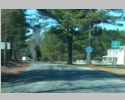
Southbound US 220 northeast of Monterey,
entering Highland County from Pendleton County, WV. Photo by Adam
Froehlig, taken June 4, 2008. |
 |
Westbound US 250 near Headwaters, entering Highland County from Augusta County. It was 6 degrees out when I took this picture! Photo by Mapmikey, taken January 11, 2010. |
 |
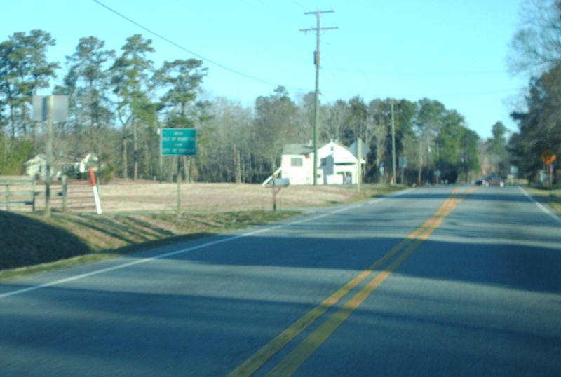
Northbound US 258 (also signed TRUCK US 258)
near Franklin, entering Isle of Wight County. Photo by Adam
Froehlig, taken July 28, 2007. |
 |
Westbound VA 10-32 near Chuckatuck, entering Isle of Wight County from Suffolk City. Photo by Mapmikey, taken March 6, 2010. |
 |
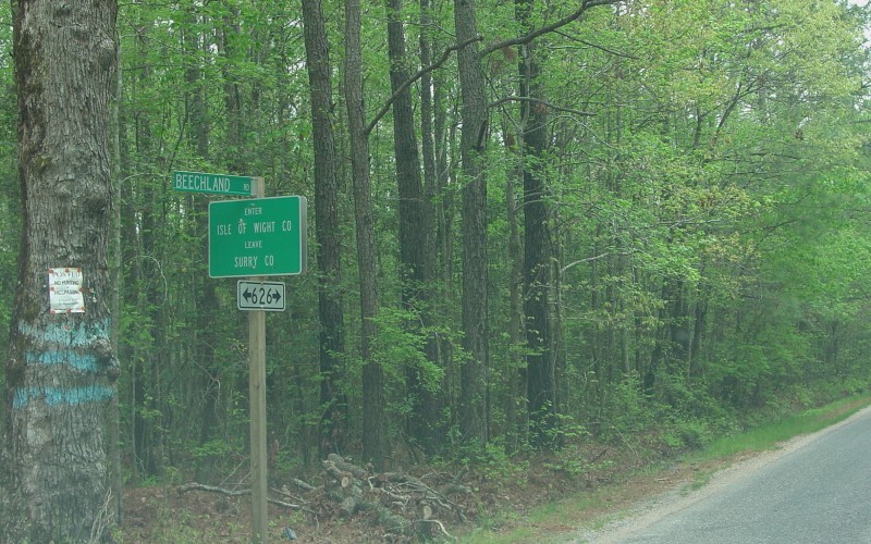
Eastbound SR 626 (Beechland Rd in Surry
County, Jones Dr in Isle of Wight County), entering Isle of Wight
County. Photo by Adam Froehlig, taken April 24, 2004. |
 |
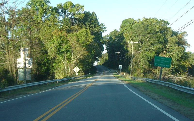
Westbound US 60, entering James City County
(the first time) from Newport News. Photo by Adam Froehlig, taken
October 17, 2004. |
 |
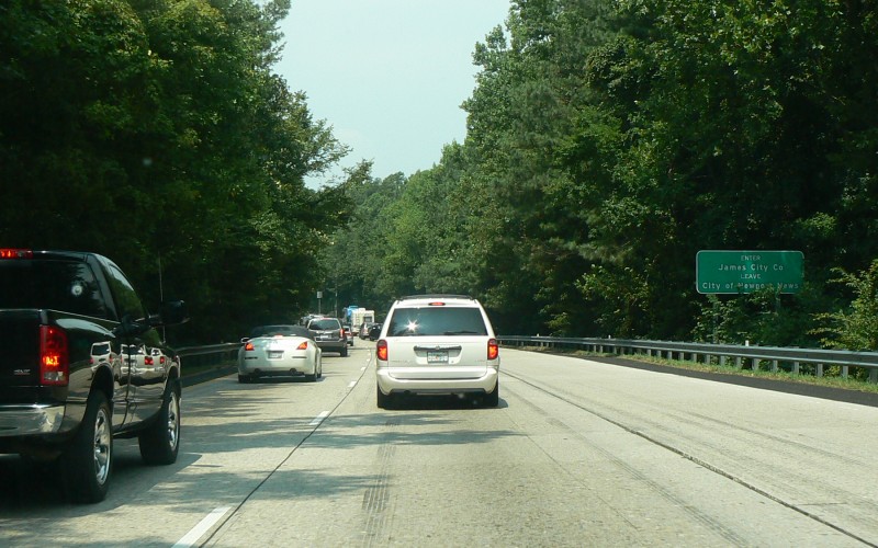
Westbound I-64, entering southern James City
County from Newport News. Photo by Adam Froehlig, taken July 29,
2007. |
 |
Westbound VA 14 at Plain View, entering King and Queen County from Gloucester County. Photo by Mapmikey, taken October 19, 2010. |
 |
Southbound SR 635 at Beazley, entering King and Queen County from Caroline County. Photo by Mapmikey, taken October 19, 2010. |
 |
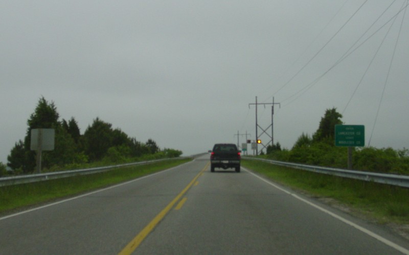
Westbound VA 3, crossing the Rappahannock
River into Lancaster County. Photo by Adam Froehlig, taken May 17,
2003. |
 |
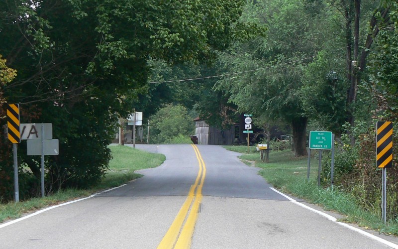
Northbound SR 696, entering Lee County at the
terminus of TN 33. Photo by Adam Froehlig, taken September 1,
2008. |
 |
Northbound SR 758 (old VA 63), entering Lee County from Hancock County, TN. Photo by Mapmikey, taken April 22, 2010. |
 |
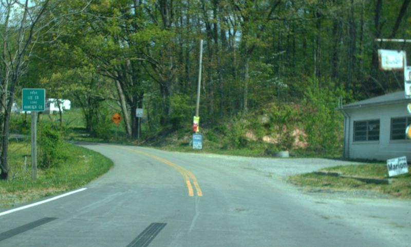
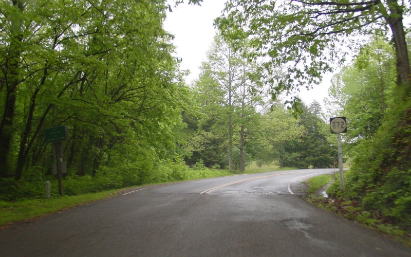
Northbound SR 872, entering Lee County from
Cumberland Gap, TN. This used to be US 25E many years ago.
Photo by Adam Froehlig, taken May 6, 2003. |
 |
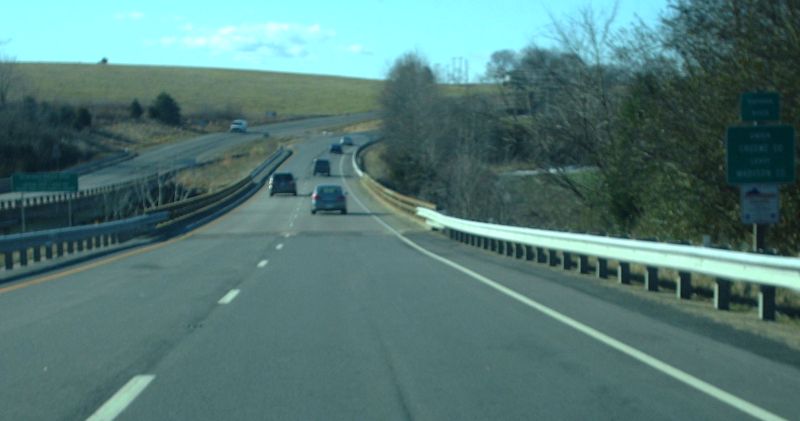
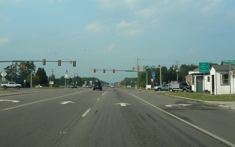
Northbound US 15 at Zion Crossroads, entering
Louisa County. The US 250 junction is at the traffic signal.
Photo by Adam Froehlig, taken May 31, 2008. |
 |
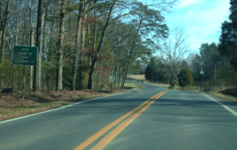
Eastbound VA 22, entering Louisa County from Albemarle County near Cobham. Photo by Mapmikey, taken January 23, 2010. |
 |
Westbound VA 137, entering Lunenburg County from Brunswick County at Dundas. Photo by Mapmikey, taken January 16, 2010. |
 |
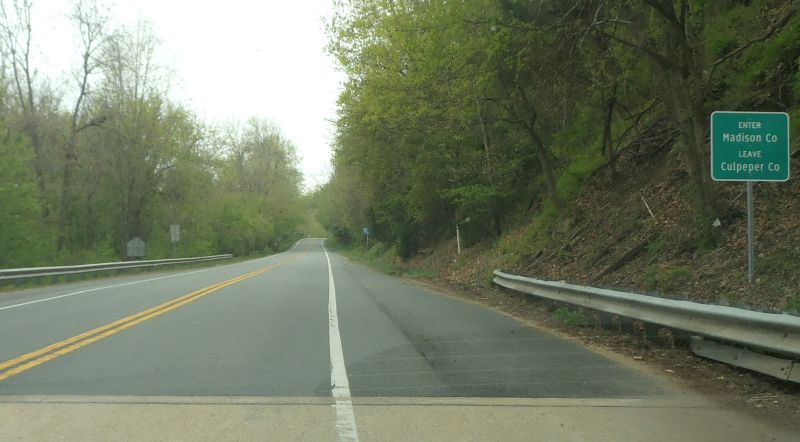
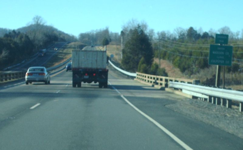
Southbound US 15, entering Madison County from Culpeper County near Locust dale. Photo by Mapmikey, taken April 23, 2013. |
 |
Southbound US 29, entering Madison County from Culpeper County at Leon. Photo by Mapmikey, taken January 18, 2010. |
 |
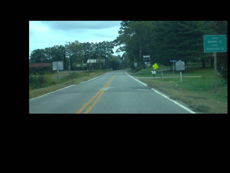
Eastbound VA 198, entering Mathews County from Gloucester County at Dutton. Photo by Mapmikey, taken October 19, 2010. |
 |
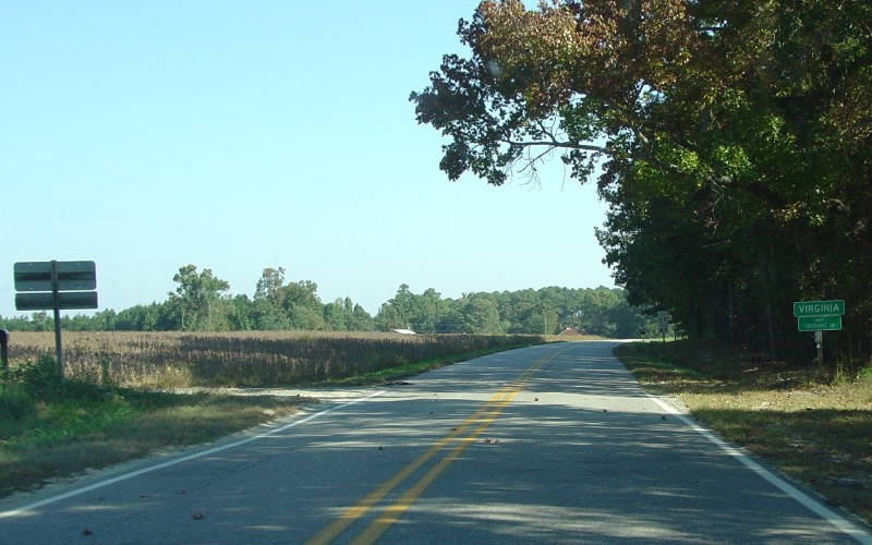
Northbound US 1, entering Mecklenburg County
from Warren County, NC. Photo by Adam Froehlig, taken February 1,
2004. |
 |
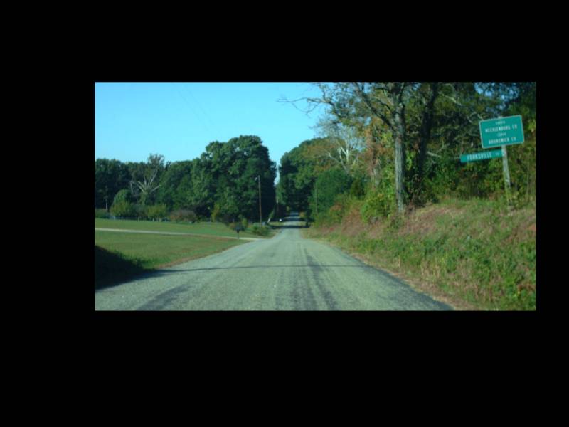
Westbound SR 639 (old US 1/VA 31), entering Mecklenburg County from Brunswick County at Forksville. Photo by Mapmikey, taken October 21, 2010. |
 |
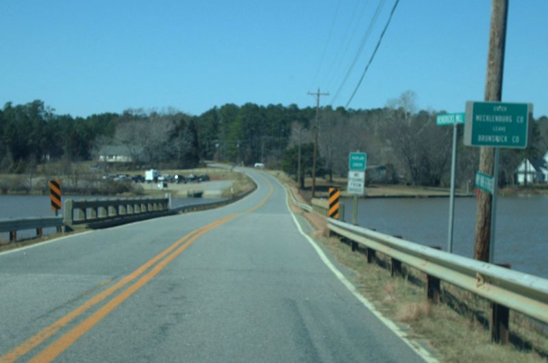
Westbound SR 903, entering Mecklenburg County from Brunswick County near Ebony. Photo by Mapmikey, taken March 6, 2010. |
 |
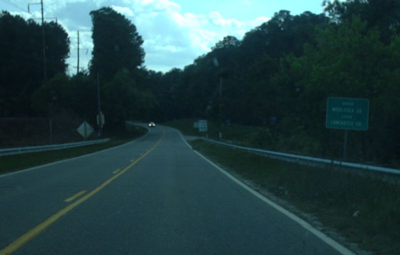
Eastbound VA 3, entering Middlesex County from Lancaster County near White Stone. Photo by Mapmikey, taken April 24, 2012. |