
The Virginia Placenames Page - Rivers - N-Y
This sub-page shows river crossing signs for rivers beginning with N through Y. Photos are arranged alphabetically by river name, then in numerical order by route number as needed. Click on a thumbnail for a larger image.
|
|
|
|
|
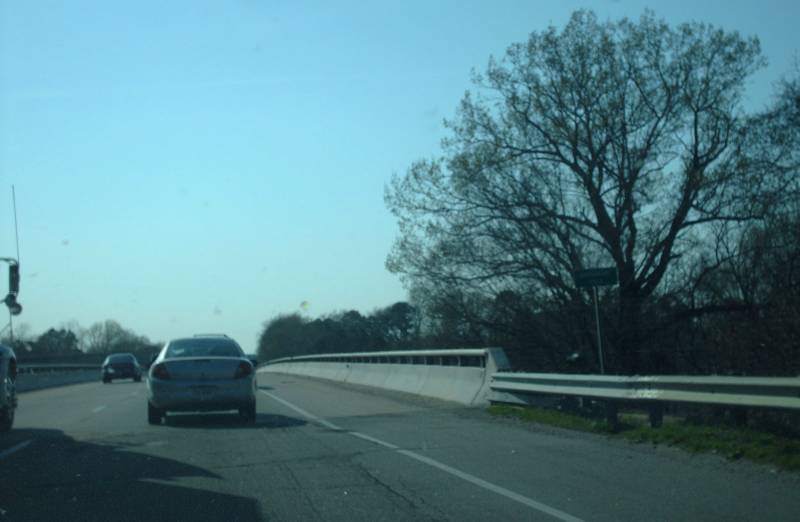
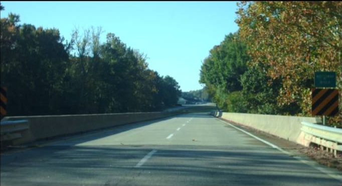
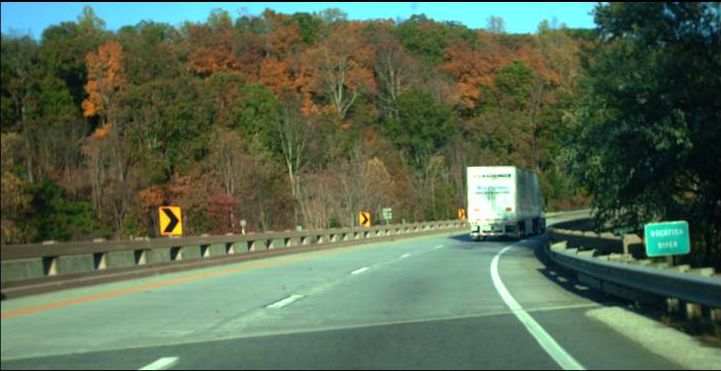
Northbound VA 93 at the New River, near Mouth of Wilson, Grayson County. Photo by Adam Froehlig, taken September 1, 2007. |
|
|
|
|
|
|
|
|
|
|
|
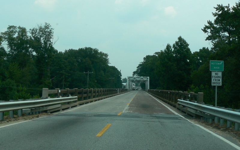
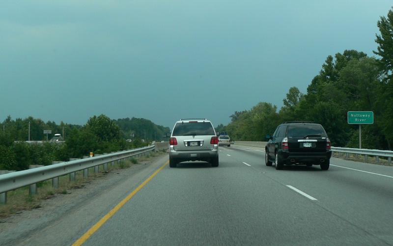
Northbound VA 35/BUSINESS US 58 at the Nottoway River, near Courtland, Southampton County. Photo by Adam Froehlig, taken July 28, 2007. |
|
|
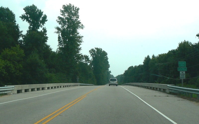
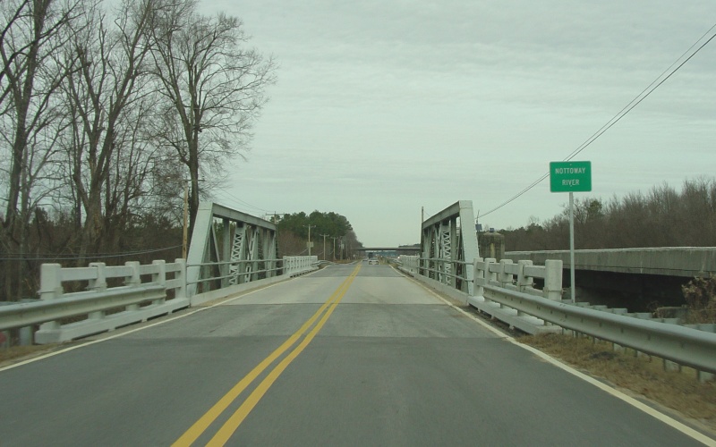
Southbound VA 35/BUSINESS US 58 at the Nottoway River, near Courtland, Southampton County. Photo by Adam Froehlig, taken July 28, 2007. |
|
|
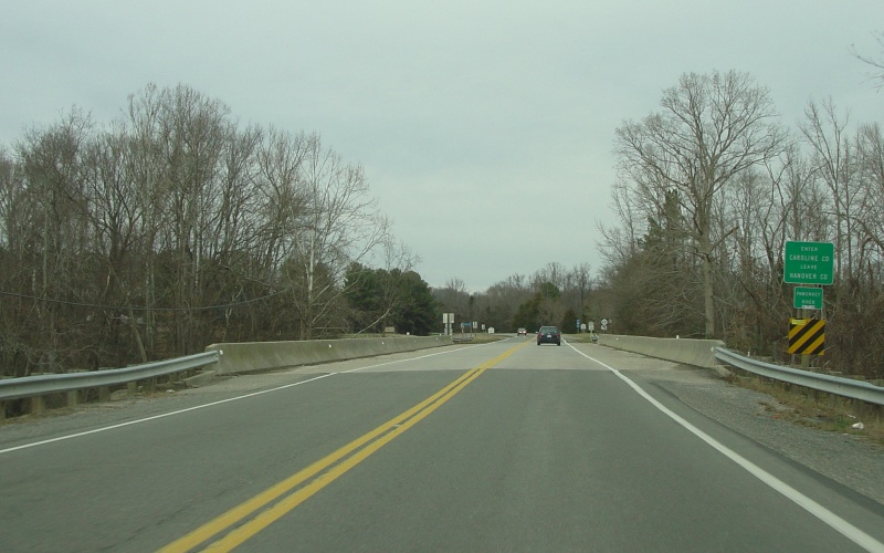
Eastbound VA 40 at the Nottoway River, east of Sussex, Sussex County. Photo by Adam Froehlig, taken July 28, 2007. |
|
|
Westbound US 58 at the Nottoway River, near Courtland, Southampton County. Photo by Adam Froehlig, taken July 28, 2007. |
|
|
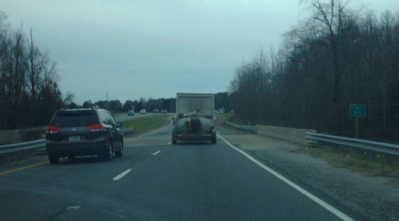
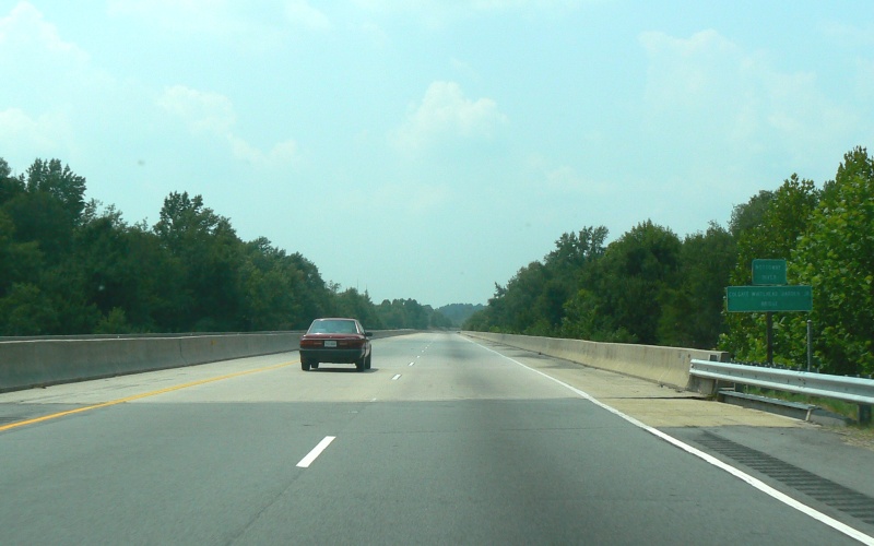
Northbound I-95 at the Nottoway River, north of Stony Creek, northern Sussex County. Photo by Adam Froehlig, taken July 28, 2007. |
|
|
Northbound US 301 at the Nottoway River, north of Stony Creek, northern Sussex County. Photo by Adam Froehlig, taken December 24, 2004. |
|
|
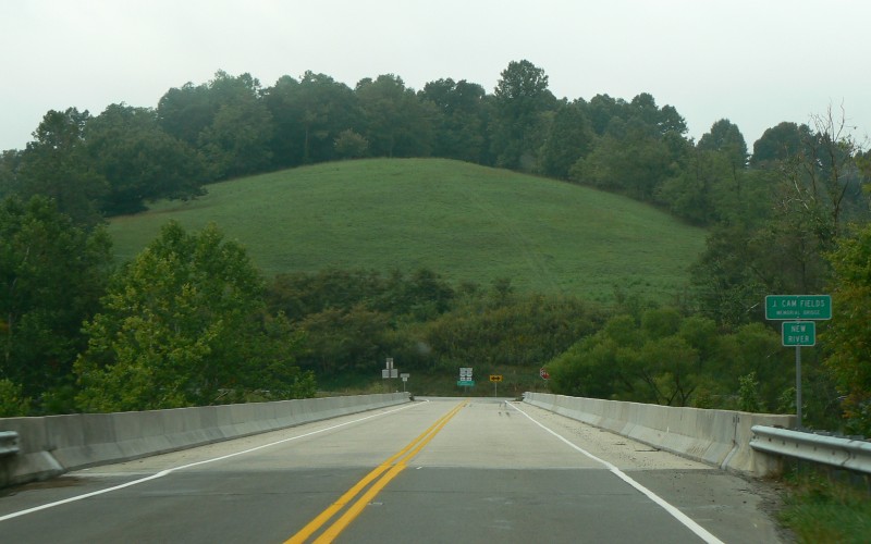
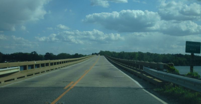
Northbound US 301/VA 2 at the Pamunkey River, north of Hanover, entering Caroline County. Photo by Adam Froehlig, taken December 24, 2004. |
|
|
|
|
|
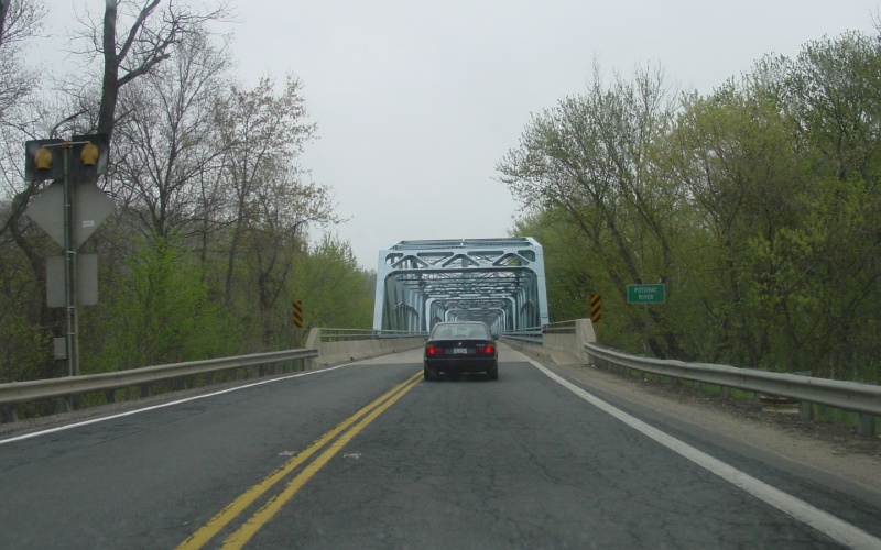
Northbound US 15 at the Potomac River, north of Leesburg, entering Maryland. Photo by Adam Froehlig, taken April 18, 2003. |
|
|
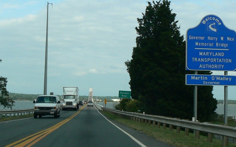
Northbound US 301 at the Potomac River, north of Dahlgren, entering Maryland. Photo by Adam Froehlig, taken September 11, 2008. |
|
|
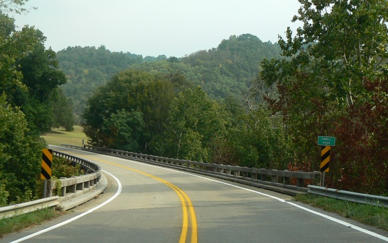
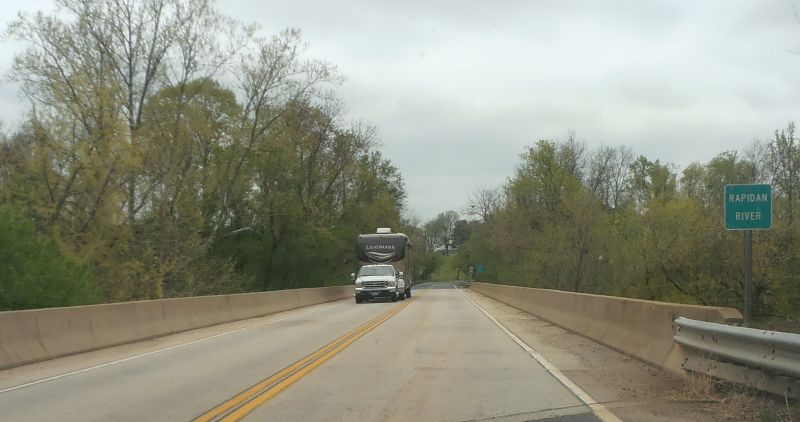
Southbound VA 70 at the Powell River, south of Jonesville, Lee County. Photo by Adam Froehlig, taken September 1, 2007. |
|
|
|
|
|
|
|
|
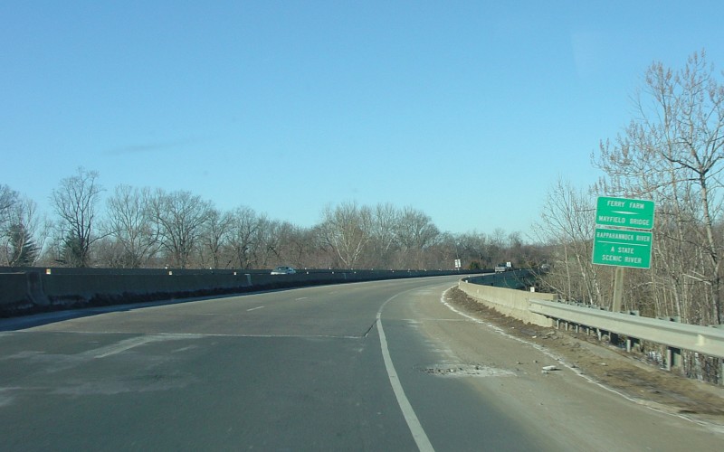
Westbound VA 3 at the Rappahannock River, entering the city of Fredericksburg. Photo by Adam Froehlig, taken February 1, 2004. |
|
|
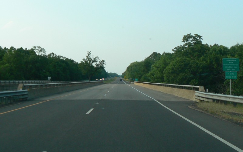
Northbound US 15/US 29 at the Rappahannock River, near Remington, entering Fauquier County. Photo by Adam Froehlig, taken May 31, 2008. |
|
|
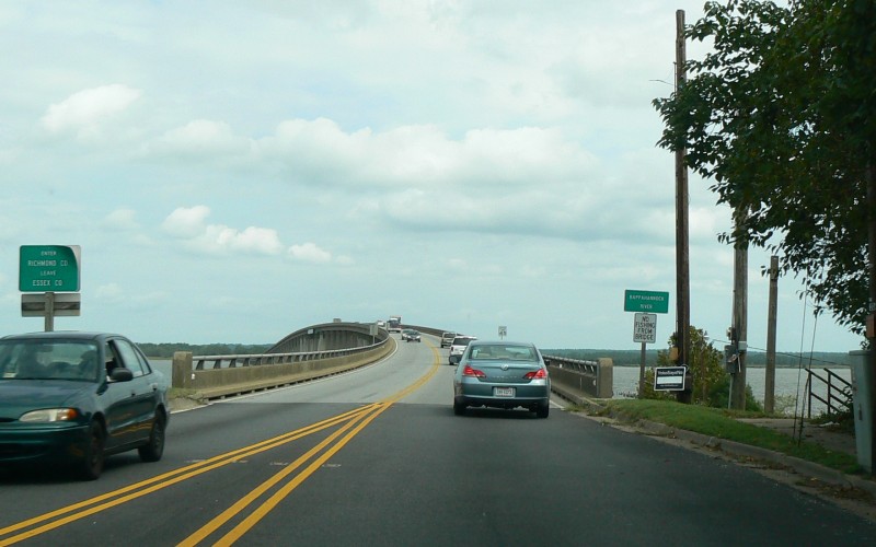
Eastbound US 360 at the Rappahannock River, near Tappahannock, entering Richmond County. Photo by Adam Froehlig, taken September 11, 2008. |
|
|
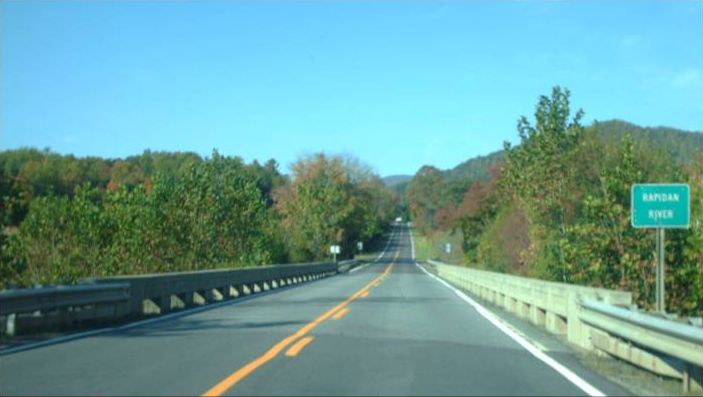
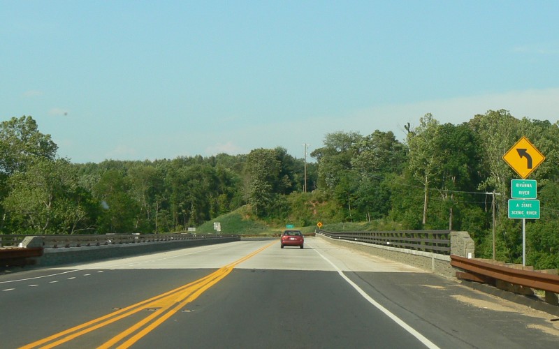
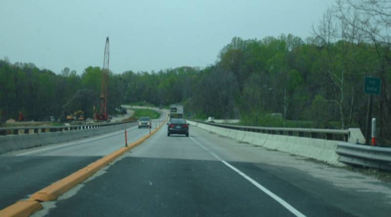
Northbound US 15 at the Rivanna River, near Palmyra, Fluvanna County. Photo by Adam Froehlig, taken May 31, 2008. |
|
|
|
|
|
|
|
|
|
|
|
|
|
|
|
|
|
|
|
|
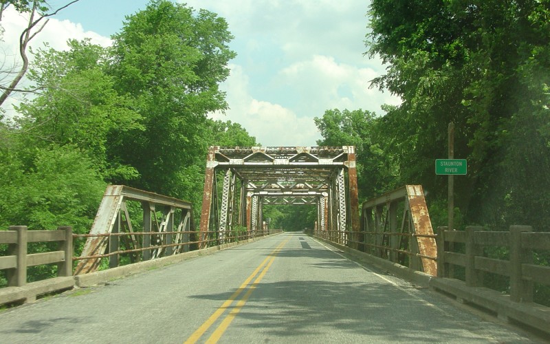
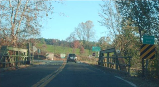
Eastbound VA 92 at the Staunton River, near Clover, entering Charlotte County. This bridge has since been closed to traffic. Photo by Adam Froehlig, taken May 29, 2004. |
|
|
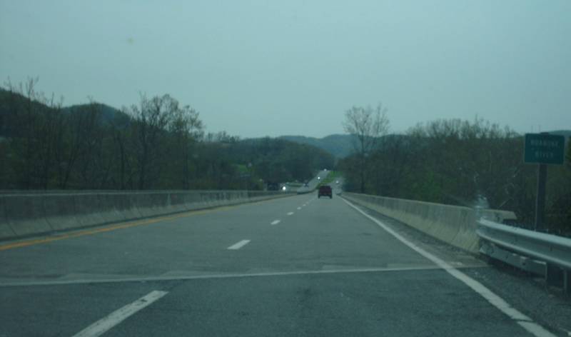
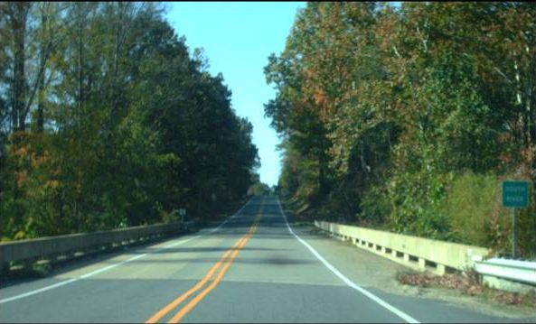
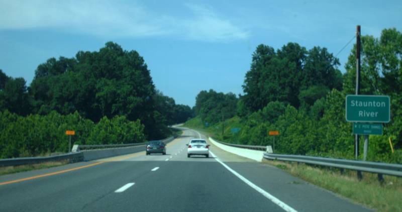
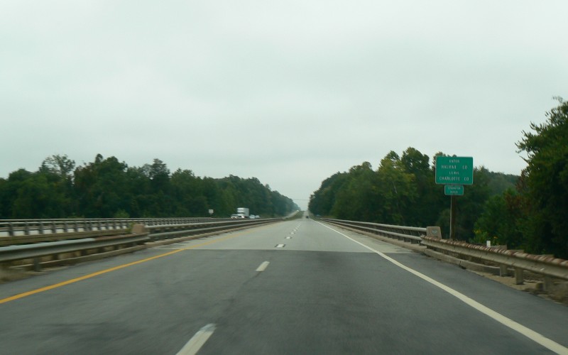
Westbound US 360 at the Staunton River, near Clover, entering Halifax County. Photo by Adam Froehlig, taken September 11, 2008. |
|
|
|
|
|
|
|
|
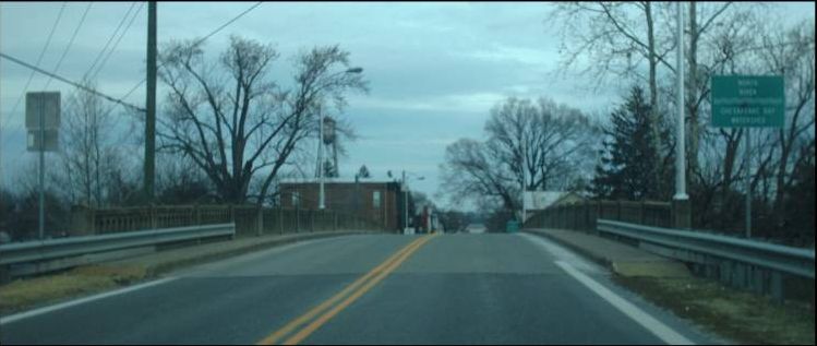
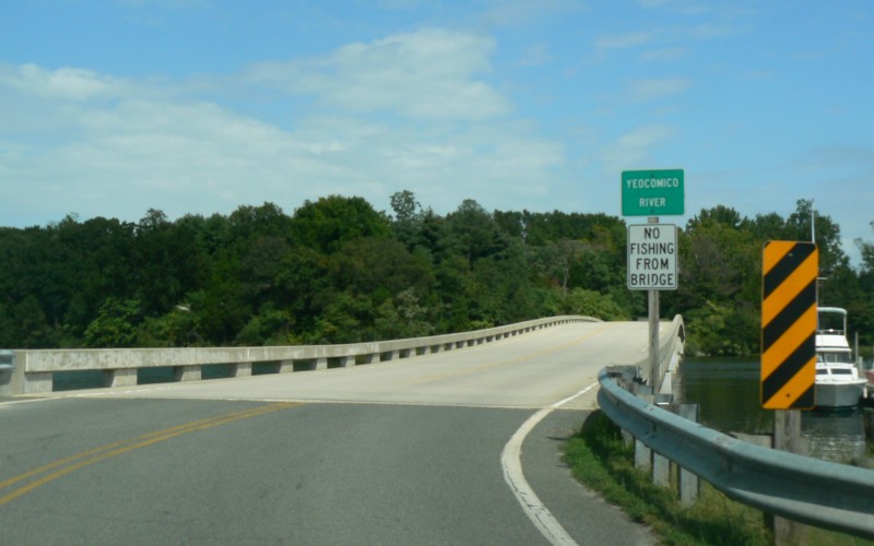
Northbound VA 203 at the Yeocomico River, near Kinsale, Westmoreland County. Photo by Adam Froehlig, taken September 11, 2008. |
|
|
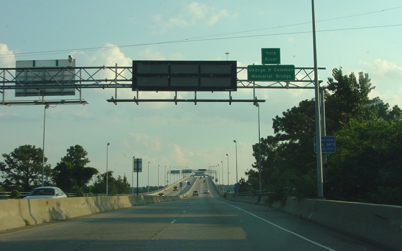
Southbound US 17 at the York River, Coleman Bridge, near Yorktown. Photo by Adam Froehlig, taken August 8, 2004. |
Go to A-M
Back to Rivers
Back to the Virginia
Placenames
Page
Page last modified 31 December 2013
(C) 2014-2010 Adam Froehlig and Mike Roberson