< VA 268 | Home | VA 270 >
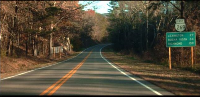
Photo: VA 269 leaving VA 42 (Mapmikey, January 2006)
| |||||||
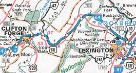
| ROUTE LOG I-64 (exit 29), US 60, VA 42 NB: 0 - 0 VA 42 END: 0.18 - 0.18 I-64 (exit 35), US 60: 6.62 - 6.80 |
Creation: Appeared in Jan 1984 (CTB) as a renumbering of part of US 60. Ran as it does today. This is the 2nd VA 269.
Adjustments: None Improvements: Paved upon inception; multilane the short distance between SR 632 and I-64. Posted: Fully posted Multiplexes: VA 42 (0.18 mi) Legislative names: NONE Other names: Longdale Furnace Rd Scenic Byway: No segments Comment: Not sure why only this part of old US 60 remained a state route, although this is the only stretch with no sharp curves or hard terrain.
| ||||||
| Previous VA 269's:
1952 ROUTE LOG VA 39: 0 - 0 HIghland-Bath Line: 18.01 - 18.01 US 250 EB: 13.67 - 31.68 US 250 WB: 0.25 - 31.93 WV LINE: 9.07 - 41.00 |
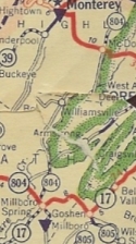
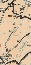
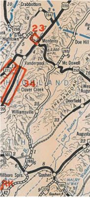
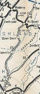
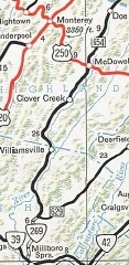
VA 269 #1: Appeared July 1933 as a renumbering of part of VA 804. Initially began as a two piece route: 1. VA 501 (now VA 39) Millboro Springs north to about the Cowpasture River (was VA 804) 2. Doe Hill south across VA 5 (now US 250 McDowell) to about where it began paralleling the Cowpasture River.
In August 1934 (CTB), VA 269 was extended north 1.8 miles to the West Virginia State Line. In August 1936 (CTB), the two pieces of VA 269 were connected in Bath County (5.65 mile gap). In May 1952, VA 269 north was truncated to US 250 leaving behind SR 654. The rest of VA 269 was downgraded to SR 678 in May 1953.
|
||||||
Previous: VA 268 |
Next: VA 270
Top | Virginia Hwy Index
Home
Page last modified 28 December 2023
