 SC 240 to 249
< 230 to 239 | Home | 250 to 259 >
| SC 241 not currently assigned | |||||||||||||||
| Previous SC 241's: |
SC 241: Appeared in 1941 or 1942 as new routing. Ran from SC 246 at the Ninety Six Nat'l Historic Site south to US 178 near Epworth, then
followed 178 east to just past Mays Crossroads, then proceeded south 6 miles into the Sumter Nat'l Forest and ending about a mile short of the Edgefield-Greenwood Line. The total distance for SC 241 was 15 miles.
In 1948, SC 241 was downgraded to S-24-27 and S-24-30, with US 178 remaining as it is today. |
||||||||||||||
| SC 242 not currently assigned | |||||||||||||||
| Previous SC 242's: |
SC 242: Appeared in 1940 as new primary routing. Ran from SC 24 Tokeena Crossroads southeast 5 miles to SC 243 in far northwestern Anderson County.
In 1948, SC 242 was downgraded to S-37-30 and S-4-37. |
||||||||||||||
|
|
|
| ROUTE LOG |
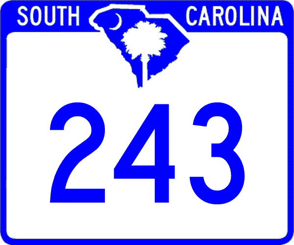
SC 59, SC 182: 0 - 0 Anderson-Oconee Line: 2.1 - 2.1 I-85 (exit 11), SC 24: 6.9 - 9
|
Creation: Arrived in 1940 as a new primary routing. Originally ran from SC 80 (current S-37-23?)east of Fair Play to SC 24.
| Adjustments: Between 1962-64, SC 243 was extended west 1 mile to its current end in Fair Play, replacing the westernmost mile of SC 80. Improvements: SC 243 was paved from SC 24 west to old SC 242 in 1940; All other parts of SC 243 were paved in 1951 or 1952; no multilane sections are shown on the 2005 Official map. Comment: SC 243 is also identified on I-85 at Exit 4, but technically this is S-4-23 (old SC 80). |
||||||||
| SC 244 not currently assigned | |||||||||||||||
| Previous SC 244's: |
SC 244: Appeared in 1940 as new routing. Ran from SC 24 Townville north in an easterly arc to US 76-SC 13-SC 28 (current SC 130) Seneca, a distance of 12 miles.
In 1948, SC 244 was downgraded to S-37-21 and S-4-96. Today, an arm of Lake Hartwell cuts this route into two disconnected pieces. |
||||||||||||||
|
|
|
| ROUTE LOG |
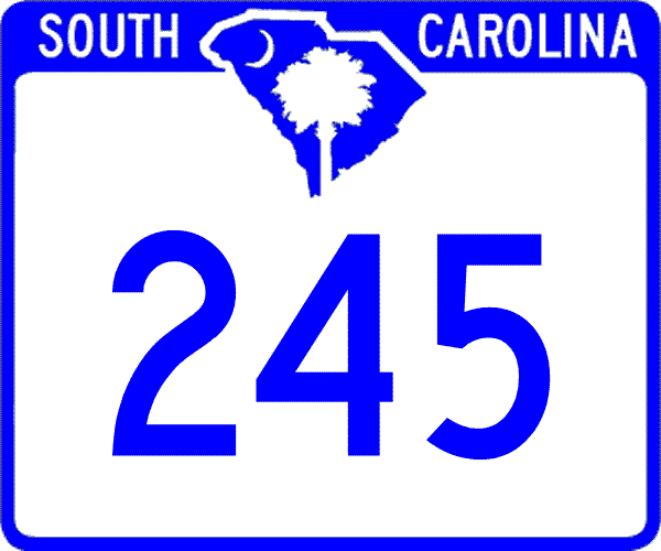
US 178: 0 - 0 US 1: 3.1 - 3.1 SC 23: 0.1 - 3.2 SC 391: 3 - 6.2
|
Creation: Appeared in 1931 or 1932, running the way it does today, only its southern end point was SC 24 instead of US 178.
| Adjustments: None Improvements: Paved upon designation in 1932; no multilane sections Comment: SC 245 serves as an eastern bypass of Batesburg-Leesville, for a movement not many people are trying to make, from US 178 heading to Prosperity. |
||||||||
|
|
|
| ROUTE LOG |
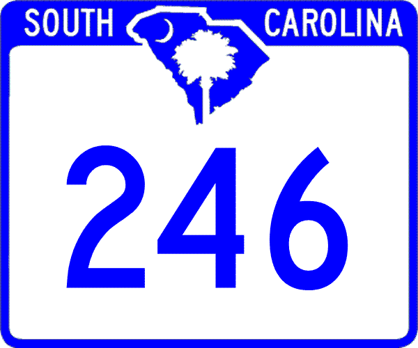
US 178: 0 - 0 US 25: 0.9 - 0.9 SC 254: 1.3 - 2.2 US 221, SC 72: 7.8 - 10 SC 702: 4.2 - 14.2 SC 34 WB, SC 248: 3.2 - 17.4 SC 34 EB: 0.2 - 17.6 US 178: 11.6 - 29.2
|
Creation: Arrived about 1930, running from SC 24 (current US 178) to SC 22 (current SC 34) Ninety-Six. This was a replacement for part of SC 24, which was rerouted over the original SC 55.
| Adjustments: About 1932, US 178 was routed this way. SC 246 would've died in 1933, but US 178 was moved to its current routing instead. SC 246 was extended northwest as new routing to US 178 Hodges in 1939. In 1941 or 1942, SC 246 was extended northwest along US 178 to Tinsley, then west to end at SC 20-185 south of Due West. This brought SC 246 to a maximum length of 33 miles. In 1948, SC 246 was truncated to its current routing, leaving behind S-1-114, S-1-38, and S-24-31. Improvements: SC 246 was fully paved in 1939 except a 4 mile stretch from US 25 eastward. This unpaved piece was paved in 1941 or 1942. No multilane sections exist. Comment: SC 246 (combined with SC 39 and SC 702) make a decent bypass for US 178 traffic from Saluda to Anderson or Greenville. SC 246 also serves the small burgs of Cokesbury, Coronaca, and Saluca. |
||||||||
|
|
|
| ROUTE LOG |
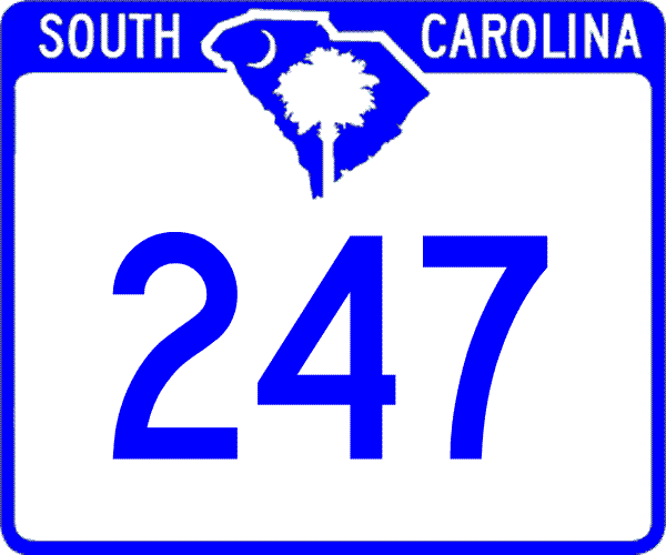
SC 20: 0 - 0 Greenville-Greenwood Line: 4.9 - 4.9 US 25, SC 8, SC 418: 5.7 - 10.6
|
Creation: Arrived about 1929 as a renumbering of the original SC 152, running as it does now, although I believe it ended a block futher south in Belton, where it would've directly connected to SC 24 (current US 76-178).
| Adjustments: It is unclear but at some point SC 247 was rerouted in Belton, leaving behind S-4-181. Improvements: SC 247 was fully paved by 1932. No multilane sections exist. Comment: SC 247 is one of the few upstate routes I have driven none of. |
||||||||
|
|
|
| ROUTE LOG |
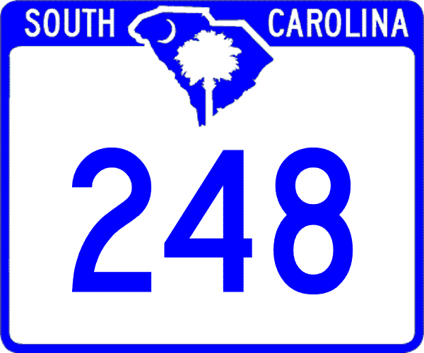
US 178: 0 - 0 SC 34, SC 246: 6.2 - 6.2
|
Creation: Arrived in 1940 as new primary routing, running as it does today. This is the 2nd SC 248.
| Adjustments: None Improvements: Fully paved upon creation No multilane sections exist. Comment: SC 248 serves the Ninety-Six National Historical Site, as well as the original location of the town of Ninety-Six. | Previous SC 248's: |
SC 248 #1: Appeared in 1929 or 1930 as a renumbering of the original SC 151. Ran from US 29/SC 24 (now SC 28 Bus, US 29 Bus, SC 81) Anderson northeast to end at SC 20 Williamston.
In 1935, SC 248 was renumbered as part of US 29. Today, it is US 29 Business north of downtown Anderson, US 29, and the US 29-SC 20 CONNECTOR. |
||||||
| SC 249 not currently assigned | |||
| Previous SC 249's: |
SC 249: Appeared in 1940 as new routing. Ran from SC 24 near today's SC 187 SB split east to US 76-178, SC 28 just north of Anderson.
In 1941 or 1942, SC 249 was extended from SC 24 south to SC 80 (current S-4-22) for a total distance of 8 miles. Although fully paved, SC 249 was downgraded to S-4-34 and New Hope Rd, which may have a different secondary route number. |
||
Last Update: 25 May 2005
Previous: SC 230 - 239 |
Next: SC 250 - 259
Top | South Carolina Hwy Index
Home
