< TN 50 | Home | TN 52 >
|
|
|
| ROUTE LOG |
TN 52: 0 - 0 KY STATE LINE: 1.9 - 1.9
|
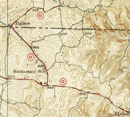
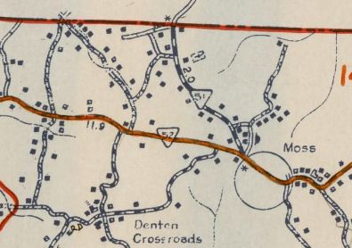
Creation: Appeared in 1931 or 1932 as the 2nd TN 51, running from TN 52 west of Moss north to Kentucky. Topo maps show this first used Boles Rd to Boles KY (with no road where current TN 51 is). Tennessee State Officials seem to show this as well, but still seem to show it long, long after TN 51 was definitely on its current route (shown explicitly on the 1939 Clay County and 1937 Monroe County Kentucky maps).
|
Adjustments: Other than potentially moving from Boles Rd to Tompkinsville Hwy, none Posting: Posted as secondary routing. Secret US Route Overlay: None Comment: Connects TN 52 to Tompkinsville KY | Previous TN 51's:
|
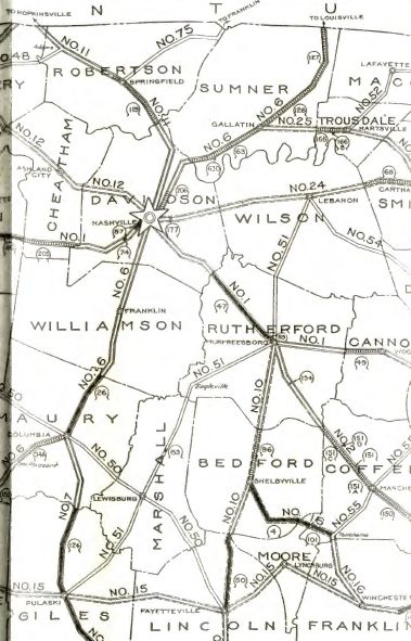
TN 51 #1: An original state highway that ran from TN 7 (now US 31) Pulaski through Lewisburg and Murfreesboro to TN 24 (now US 70 Bus) Lebanon.
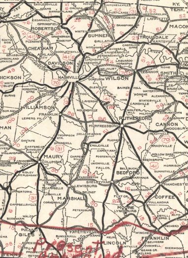
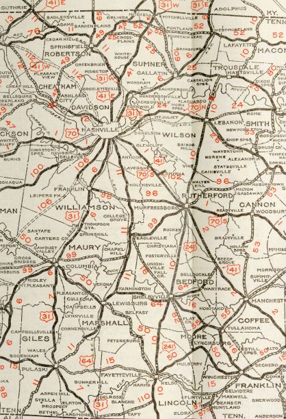
In 1925 or 1926, TN 51 was extended both directions: southwest to the Alabama State Line; north to TN 25, then followed TN 25 to Hartsville, then north replacing TN 52 to end at TN 52 (now Old Hwy 52) Sullivan. In 1929, TN 51 was removed from Old Farmington Rd from north of Lewisburg to Farmington plus the northern bit of current TN 271; also removed from James Shaw Rd in Rich Creek If TN 51 ever used Brummit Rd between today's US 231 and TN 10-25 it stopped doing so by 1929.
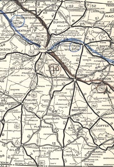
In 1930, TN 51 was extended north with TN 52 to Lafayette, then north as new state highway to the Kentucky State Line. Also In 1930, TN 51 was removed from 1st Ave/Old Farmington Rd (no longer continuous back to US 31A). In 1931 or 1932, TN 51 was renumbered as TN 11 from Alabama to Chapel Hill; downgraded to Eagleville Pike northeast to Eagleville; TN 99 from Eagleville to Murfreesboro; TN 10 from Murfressboro to Hartsville; downgraded to ; TN 10 from Lafayette to Kentucky. Today this is: TN 11 from Alabama to Pulaski except: abandoned routing/bit of Avery Word Rd plus Sam Davis Cir in Minor Hill; Bevels Spring Rd below Anthony Hill; Mill St in Pulaski US 31 ALT from Pulaski to Chapel Hill except: 2nd St in Pulaski; Ragsdale Ln (no longer connects to)/Beechwood Farm Rd (no longer connects to)/Tabitha Ln out of Pulaski; Sumac Rd through Powell Chapel and Sumac; Hopkins Rd/Blackburn Hollow Rd loop at Brick Church; Underpass Rd north of Cornersville, and US 31 ALT Business through Lewisburg TN 99 from Chapel Hill to Murfreesboro except: Main St and Old Hwy 99 through Eagleville, Rockvale Rd through Concord and Rockvale, Old Salem Rd through Overall, Old Salem Rd/Kings Hwy/Bridge Ave/W Main/S Front into Murfreesboro; US 231 from Murfreesboro to west of Hartsville except: College St/Maple St, Old Lebanon Pike by the VA Center, Old Lebanon Rd through Silver Hill, Old Murfreesboro Rd West near Vine, lengthy Old Murfreesboro Rd through Holloway and Forktown which becomes Maple St into Lebanon, W. Market St, Old Hunters Point Pike north of Lebanon, Old hunters Point Point Pike N at Hunters Point; TN 10 to Kentucky except: Old 25 Loop east of US 231, Old Hwy 25/Main St into Hartsville; Broadway/Halltown Rd/New Harmony Rd from Hartsville to Sullivan, Old Hwy 52/Brattontown Cir from Sullivan to Brattontown, a bit of TN 52, Church St into Lafayette, Ray Jones Cir north of Lafayette, Hayesville Cir (no longer connects to)/Crowder Rd/Haynestown Rd/Meador rd from Hayesville to the Kentucky Line
Previous: TN 50 |
Next: TN 52
Page last modified 2 January 2021 | |||||||||||||||||||
