< US 11E | Home | US 19 >
|
|
|
| ROUTE LOG |
US 11, US 11E, US 70, TN 1 WB, TN 168: 0 - 0 I-40 (exit 392): 0.4 - 0.4 Grainger-Knox Line: 12.6 - 13.0 TN 61: 1.8 - 14.8 TN 92: 14.0 - 28.8 US 25E NB, TN 32 NB: 11.4 - 40.2 US 25E SB, TN 32 SB: 2.7 - 42.9 Hawkins-Grainger Line: 1.4 - 44.3 TN 31: 2.0 - 46.3 TN 344: 10.2 - 56.5 TN 66, TN 70 SB: 3.1 - 59.6 TN 70 NB, TN 347: 2.7 - 62.3 TN 346: 5.4 - 67.7 TN 346 SB: 6.6 - 74.3 TN 346 NB: 4.6 - 78.9 Sullivan-Hawkins Line: 6.5 - 85.4 I-26 (exit 1), US 23: 1.9 - 87.3 TN 36: 0.8 - 88.1 TN 93: 3.5 - 91.6 TN 394: 9.3 - 100.9 I-81 (exit 74): 5.7 - 106.6 TN 126: 2.2 - 108.8 US 421 NB, TN 1 EB: 0.6 - 109.4 VA STATE LINE: 0 - 109.4
|
Creation: Approved by AASHTO in 1929 as a replacement for US 11 from Knoxville to Bristol via Kingsport. Tennessee had already dropped the US 11 designation by the end of 1927 and AASHO accepted their belated request to do this in 1929.
|
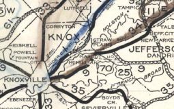
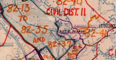
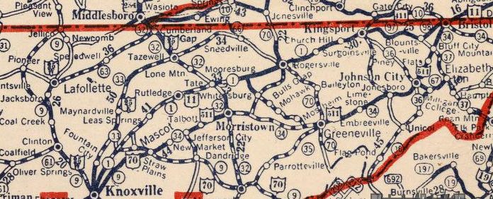 US 11 from Knoxville to Bristol via Rogersville and Kingsport 1927 Nat'l Map Company
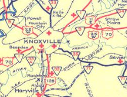
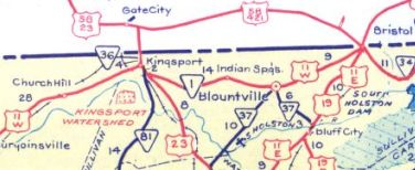
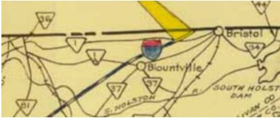
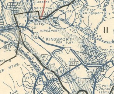
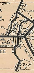
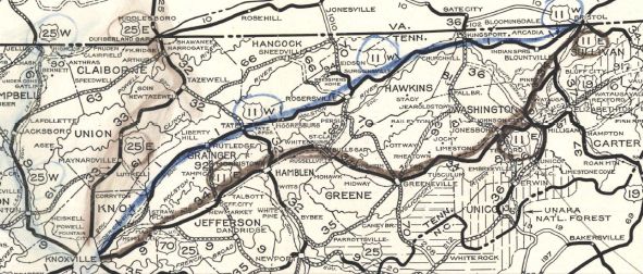 US 11W from Knoxville to Bristol via Rogersville and Kingsport 1929 Official Adjustments: In Feb 1930 (Virginia CTB), US 11 was rerouted to leave State St at Piedmont instead of Front St, which means US 11W was truncated further west along State St. Also about 1930, US 11W was removed from Old Rutledge Pike in Knox County southwest of Blaine In 1934, AASHO took away the 11W designation by restoring the route as US 11. At least one prominent commercial map maker did this. However, Tennessee never deposted US 11W. 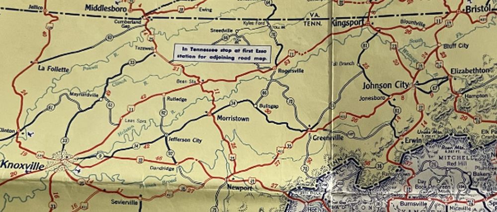 AASHO's dream come true - no US 11W 1935 Gen Draft About 1935, US 11W south was truncated to the newer US 11E-25W-70 route in eastern Knoxville, meeting US 11-11W at today's Holston Dr/Martin Luther King Jr Ave. The original endpoint was S. Chestnut St at Magnolia Ave.
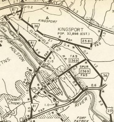
By 1936, US 11W was removed from Loves Creek Rd/Parker Dr just east of I-640. In 1936 (bridge date), US 11W was removed from Old Rutledge Pike/Indian Ridge Rd/Maple Dr through Blaine; Geer Ln near Lea Springs About 1940, US 11W was removed from Blaines Chapel Rd at Joppa; Bryan Rd outside Rutledge; Clifford Price Loop well east of Mooresburg Around 1942 or so, US 11W was rerouted around the north of Cherokee Lake. This reoved the route from Grace Church Rd; 6+ miles of underwater routing; abandoned routing west of US 11W-25E jct with Main St. Also around 1942, US 11W was rerouted to avoid the expanded Holston River east of Mooresburg. This reoved the route from Substation Rd/almost 2 miles of underwater routing/part of Lakemont Rd/3/4 mile underwater routing. Also in the 1940s, US 11W was removed from Old Lee Hwy in the post lake location of Bean Station Between 1939-46, US 11W was removed from Bristol Hwy (now Center St) in Kingsport and placed on todays Fort Henry Dr/Memorial Ct/Memorial Blvd In 1952, AASHO finally officially re-added US 11W back to the official US route system. In May 1952 (Virginia CTB), US 11W was rerouted in Bristol to be on one-way splits. Southbound alomg State St was not changed. Northbound used State St east to 9th St (now Volunteer Pkwy), then south to Shelby St east to 7th St north which turns into Piedmont at State St. About 1953 (bridge dates), US 11W was removed from Cherry St/Old US 11W out of Rutledge; Old US 11W at Bowen About 1959, US 11W was given its current routing between Kingsport and Bristol. US 11W was placed on TN 81A (Sullivan St) and US 23(Lynn Garden Dr) temporarily connecting US 11W from Netherland Inn Dr and the new four lane US 11W. The old route may have briefly been renumbered as TN 1A but today is TN 355 Center St; TN 36 Center St; TN 126 from Kingsport to Bristol except: Memorial Ct in Kingston, TN 126 Bus in Blountville, and a bit of Stafford St at Bristol.
In 1962, US 11W was removed from Netherland Inn Rd and the temporary connection to the Kingston Bypass via then-TN 81A and US 23.
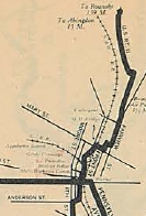
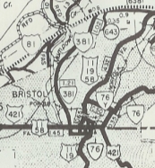
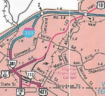
In Dec 1966 (CTB), US 11W was removed from State St and given its current routing up Euclid Ave into Virginia. State St remains TN 1.
About 1967, US 11W was removed from Main St through Rogersville. In 1969, US 11W was removed from Hollister Mills Rd; Main Blvd through Church Hill; Main St through Mount Carmel In 1976 (bridge dates), US 11W was removed from Old Rutledge Pike through John Sevier; Old Rutledge Pike near Three Points About 1977, US 11W was removed from Main St/Windy Hill east of TN 347; Old Hwy Rd; Sizemore Ln/Carter Valley Loop/Clyde Rd; Bloomer Ln/today's TN 346 through Surgoinsville; Burlington Rd east of Surgoinsville About 1984, US 11W was reoved from Un Access Rd (no longer connects to)/Loretta Ln near Mooresburg; Old Hwy 11W/Martin Ln through Mooresburg; Gills Chapel Church Rd/Old US 11W/Marble Hall Rd and Carpenter Cir west of Rogersville In 1993, US 11W was removed from Ruritan Rd/Calvary Church Rd near Mooresburg About 1998, US 11W was removed from Main St through the post lake location of Bean Station Posting: Fully posted Secret TN Route Overlay: TN 1 (entire route) Comment: US 11W is still a pretty major corridor even after interstate 81 was completed. US 11W is 20 miles shorter than US 11E. US 11W is blown off by I-640. | ||||||||||||||||
Previous: US 11E |
Next: US 19
Top | Tennessee Hwy Index
Home
Page last modified 24 February 2024
