< I-77 | Home | I-81 >
|
|
|
| ROUTE LOG |
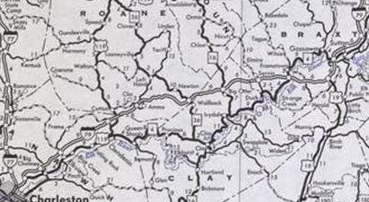
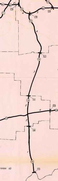
I-77 (exit 104): 0 - 0 EXIT 1 - US 119: 1.8 - 1.8 EXIT 5 - WV 114: 3.3 - 5.1 EXIT 9 - CR 43: 4.4 - 9.5 EXIT 19 - CR 53: 9.6 - 19.1 Roane-Kanawha Line: 2.1 - 21.2 EXIT 25 - CR 29: 4.1 - 25.3 EXIT 34 - WV 36: 8.3 - 33.6 Clay-Roane Line: 2.1 - 35.7 EXIT 40 - WV 16: 3.9 - 39.6 Braxton-Clay Line: 4.6 - 44.2 EXIT 46 - CR 11: 1.6 - 45.8 EXIT 51 - WV 4: 5.3 - 51.1 EXIT 57 - US 19 SB: 6.0 - 57.1 EXIT 62 - WV 4: 3.9 - 61.0 EXIT 67 - US 19 NB: 5.5 - 66.5 EXIT 79 - CR 5/11: 11.8 - 78.3 Gilmer-Braxton Line: 4.2 - 82.5 Braxton-Gilmer Line: 0.2 - 82.7 Lewis-Braxton Line: 0.2 - 82.9 EXIT 91 - US 19: 7.2 - 90.1 EXIT 96 - CR 30: 5.0 - 95.1 EXIT 99 - US 33, US 48, US 119: 2.7 - 97.8 EXIT 105 - CR 7: 6.4 - 104.2 Harrison-Lewis Line: 1.4 - 105.6 EXIT 110 (NB only) - WV 270: 3.3 - 108.9 EXIT 110 (SB only) - CR 25: 0.9 - 109.8 EXIT 115 - WV 20: 4.6 - 114.4 EXIT 117 - WV 58: 2.4 - 116.8 EXIT 119 - US 50: 1.5 - 118.3 EXIT 121 - CR 24: 2.1 - 120.4 EXIT 124 - WV 279: 2.6 - 123.0 EXIT 125 - WV 131: 1.0 - 124.0 Marion-Harrison Line: 4.2 - 128.2 EXIT 132 - US 250: 2.8 - 131.0 EXIT 133 - CR 64/1: 1.3 - 132.3 EXIT 135 - CR 64/2: 1.6 - 133.9 EXIT 136 - WV 273: 1.1 - 135.0 EXIT 137 - WV 310: 0.6 - 135.6 EXIT 139 - CR 33: 2.1 - 137.7 Monongalia-Marion Line: 3.6 - 141.3 EXIT 146 - CR 77: 3.2 - 144.5 EXIT 148 - I-68: 3.2 - 147.7 EXIT 152 - US 19: 3.7 - 151.4 EXIT 153 - University Town Center Dr.: 1.1 - 152.5 EXIT 155 - CR 19/24: 1.2 - 153.7 PA STATE LINE: 5.7 - 159.4
|
Creation: Per this excellent Gribblenation article on I-64 and I-79 origins, I-79 was created October 1961 as an extension of existing I-79 from Washington PA south to West Virginia. I-79 had been envisioned to end at Beckley but was changed to Charleston. Good information on that change is within the Gribblenation article. This is the 2nd I-79 in West Virginia.
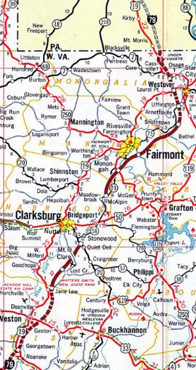
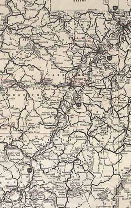
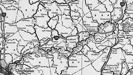
| Adjustments: In 1967, the first portion of I-79 opened was from WV 131 to US 250 In 1968, I-79 was open from US 250 to WV 310 around Fairmont. In 1970, I-79 was open from WV 310 to Exit 146. In 1971, I-79 was open from Exit 51 to Exit 62 Sutton and also from Exit 105 Jane Lew to WV 20. In 1973, I-79 was open from Exit 62 Sutton to Exit 105 Jane Lew; WV 20 to WV 58; and Exit 146 to Exit 155 around Morgantown.
In 1974, I-79 was open from Exit 25 to Exit 51; WV 58 to WV 131; and Exit 155 to Pennsylvania. In 1975, I-79 was open from Exit 19 to Exit 25 In 1977, I-79 was open from Exit 9 to Exit 19. In 1979, I-79 was open from I-77 to Exit 9, completing I-79 in West Virginia. In 1975, I-77 was opened from Cedar Fork Rd to I-64 in Charleston.
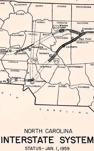
Improvements: Opened as 4 lanes everywhere About 2002, I-79 was 6-laned from WV 58 to WV 131 in the Clarksburg/Bridgeport area. About 2008, I-79 was 6-laned from CR 64/1 to WV 310 around Fairmont New Interchanges: EXIT 124 - WV 279 (about 1995) EXIT 153 - University Town Center Dr. (about 2015) Comment: I-79 has a many long segments where there aren't many straight stretches, despite crossing no mountains. | Previous I-79's:
|
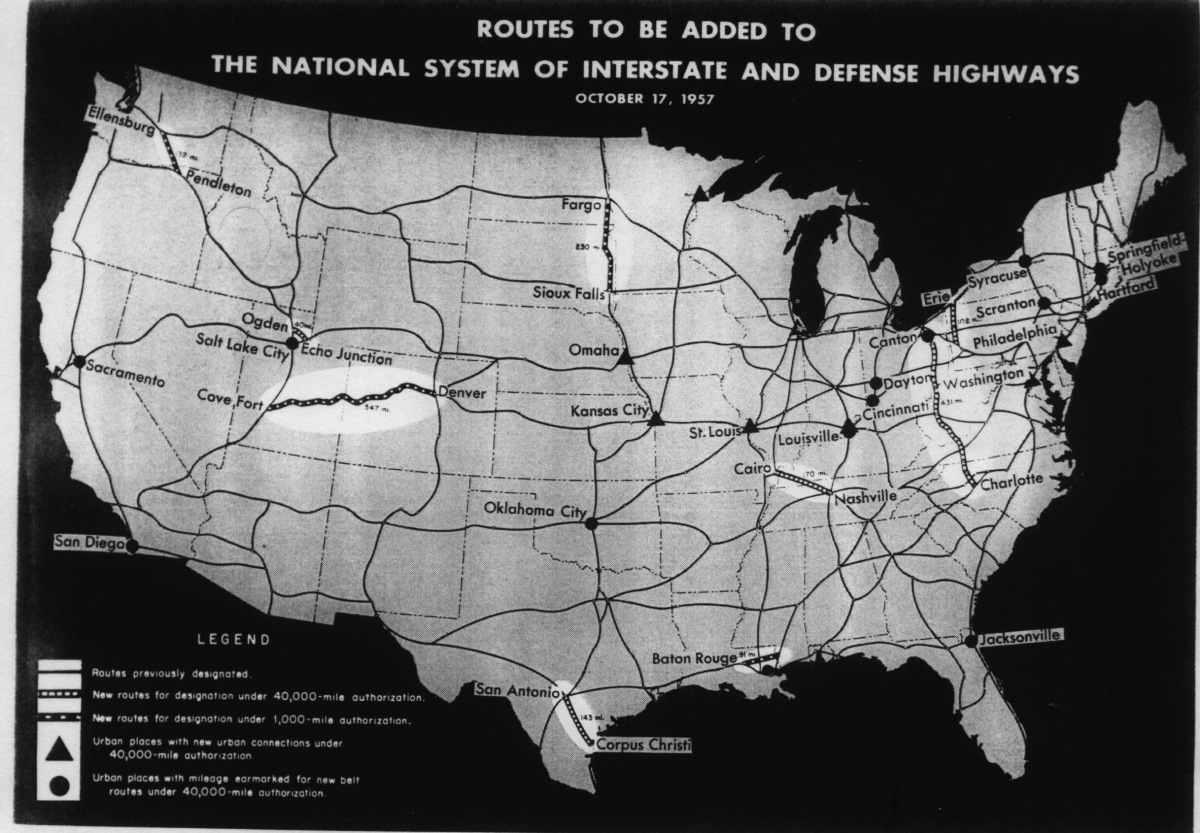
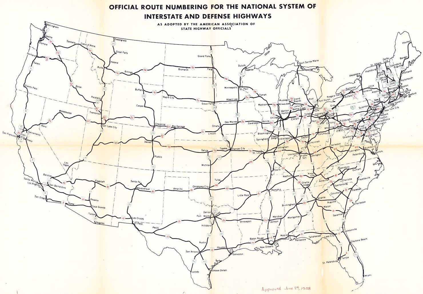
I-79 #1: Approved October 1957 as the extension of the original I-79 that ran from Canton OH to Cleveland, where the interstate was extended south through West Virginia and Virginia to end at Charlotte NC.
At the same time the Canton to Charlotte corridor was approved, an interstate corridor from Pittsburgh to Erie PA was approved. Ohio, Virginia and North Carolina all explicitly in maps or Highway Commission minutes named the extension to Charlotte as I-79. However, what was the number for the Pittsburgh to Erie route? There is a February 1958 memo in the AASHO database from Pennsylvania requesting what the number is. There is no further correspondence and the revised interstate map in June 1958 showed that route as I-79 and the Charlotte to Cleveland route as I-77. The only plausible number that could have been used for Pittsburgh to Erie that would not have violated the grid would've been I-90S.
|
||||||||||||