ROUTE LOG
US 50: 0 - 0
WV 72 ALT: 15.3 - 15.3
WV 7: 0.9 - 16.2
I-68 (exit ): 15.2 - 31.4
Pennsylvania State Line: 9.8 - 41.2
|
|
Creation: Appeared in 1922 as new primary routing, running generally as it does today. This is the only WV 26.
Adjustments: Althought state officials don't show this until after at least 1946, WV 26 is shown as bypassing Kingwood between 1933-35 on county maps. The old route is CR 26/64, CR 43 and WV 7.
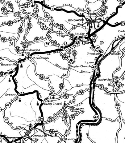
In 1936 or 1937, WV 26 was removed from CR 26/73 through Howesville and Boardman
Between 1938-46, WV 26 was removed from CR 59 through Camp Ground near Tunnelton; also WV 26 was removed from CR 26/72 south of Kingwood and CR 26/74 east of Howesville.
WV 26
1922 Official
|
WV 26 original routings
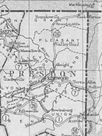
1933 Preston County
|
WV 26 bypasses Kingwood
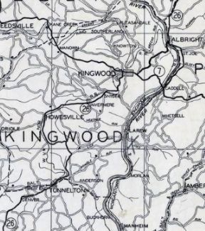
1935 Preston County
|
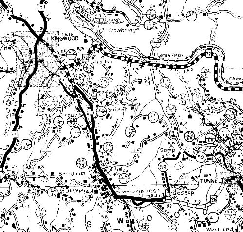
WV 26 rerouted at Tunnelton
1946 Preston County
|
Improvements: By 1923, WV 26 was paved from Tunnelton to Albright
By 1928, WV 26 was paved in the Bruceton Mills vicinity.
Between 1929-31, WV 26 was paved from Fellowsville to Tunnelton; Albright to Bruceton Mills
In 1932, WV 26 was paved from Bruceton Mills to Pennsylvania.
The Tunnelton reroute was not paved right away.
WV 26 has no multilane segments
Comment: N-S corridor for eastern Preston County
|