< WV 65 | Home | WV 67 >
|
|
|
| ROUTE LOG |
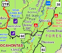
US 219, WV 55: 0 - 0 WV 28, WV 92: 15.9 - 15.9
|
|
| Previous WV 66's:
1928 ROUTE LOG Virginia State Line: 0 - 0 WV 8: 29 - 29 1965 ROUTE LOG WV 2: 0 - 0 US 30: 12.2 - 12.2 |
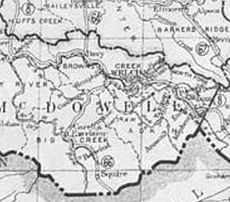
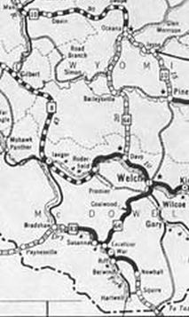
WV 66 #1: Appeared 1922 as new primary routing running from WV 8 (now US 52 ALT Elkhorn St) Welch south to the Virginia state line at Bishop.
Between 1929-31, WV 66 was renumbered as part of WV 64. Today it is part of WV 16.
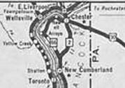
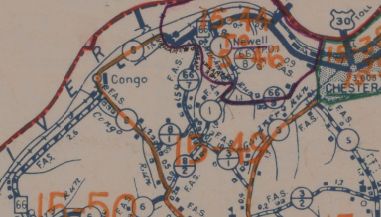
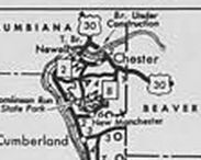
WV 66 #2: Appeared 1932 as new primary routing running from WV 2 (now WV 8) near New Cumberland north along the Ohio River to end at US 30 (now 2nd St) Chester. Between 1934-37, WV 66 was truncated to a rerouted US 30 at 1st St. County maps throughout the 1940s showed a gap in WV 66 in the Congo area where traffic had to use CR 8 to connect to either end. 1930s maps showed as if there were no gap and topos did show no road there. The gap was filled about 1950 or 1951. Between 1965-70, WV 66 was renumbered as part of WV 2
|
|||||||||||||