N.C. 89
< 88 | Home | 90 >
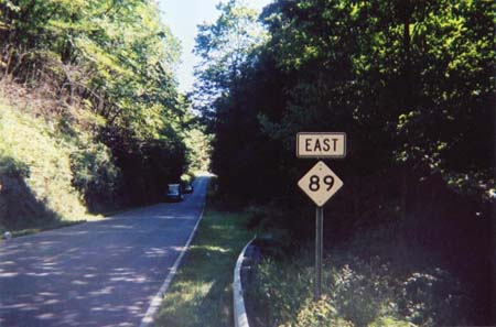
Photo: NC 89 leaving Virginia (Matt Craig)
| N.C. 89 60 miles | |||
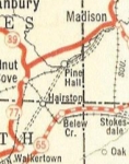
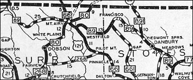
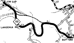
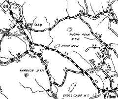
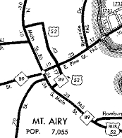
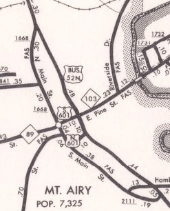
| The Road: | Begins at US 311 Walnut Cove (Stokes County) and ends at the Virginia State Line near Low Gap (Surry County). The route continues a dozen more miles as VA 89 to US 58-221 in Galax, VA. | Towns and Attractions: | Stokes Co: Walnut Cove, Hanging Rock State Park Surry Co: Mt. Airy |
History: |
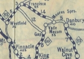
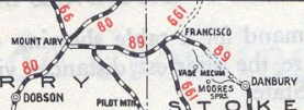
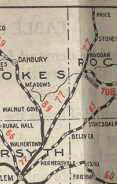
NC 89 is an original state highway. Initially it ran from NC 897 Walkertown (US 311 at Pine Hall Rd) north to Walnut Grove, then northwest to end at NC 80 (now NC 103) Mt. Airy. The 1922 Official and Rand McN maps from 1922 and 1923 seem to show NC 89 running Danbury-Moore Springs-Francisco. The 1924 Official map shows NC 89 along its current corridor. Best guess is that NC 89 used Hanging Rock Rd, Moore Springs Rd and Dan GOrge Rd which no longer exists north of NC 268.
In 1926, NC 89 east was truncated to NC 77 Walnut Grove, replaced by a rerouted NC 77. Today this is mostly US 311 but also Stokesburg Rd south of Walnut Cove.
|
Comment: | NC 89 was once a popular truck route between I-77 and Mt Airy, as US 52's mountain climb in Virginia is not good for truck traffic. The completion of I-74 in this area has alleviated that problem on NC 89. |
Last Update: 14 May 2010
Previous: N.C. 88 |
Next: N.C. 90
Top | NCRoads.com
Home