N.C. 111
< 110 | Home | 112 >
| N.C. 111 123 miles | |||
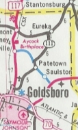
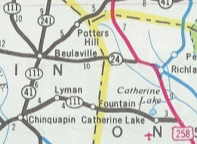
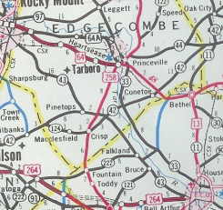
| The Road: | Begins at US 258/NC 24 near Catherine Lake (Onslow County) and ends at NC 11-42 Oak City (Martin County). | Towns and Attractions: | Onslow Co: None Duplin Co: Beulaville Wayne Co: Cliffs of the Neuse State Park, Seymour Johnson AFB, Goldsboro, Eureka Wilson Co: Stantonsburg, Saratoga Edgecombe Co: Tarboro, Princeville Martin Co: Oak City |
History: |
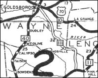
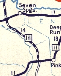
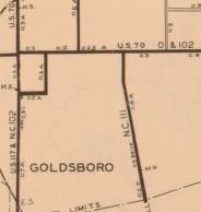
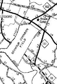
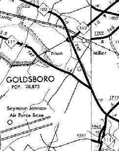
NC 111 appeared in 1930 as new primary routing, running from NC 11 Kornegay north on today's NC 903 to Liddell in Lenoir County then west over Liddell Rd to Drummersville, then Mark Herring Rd to Zion Church Rd past current 111 to Pricetown, then northeast back to Mark Herring Rd to NC 55, then Indian Springs Rd to Park Rd, a brief bit of today's 111, then Mince Hill Rd to River Rd to current NC 111 which it followed to about NC 581. Here, NC 111 used Sheridan Forest Rd and CR Lewis Dairy Rd. The Air Force Base now cuts off the original NC 111 path, which concluded using Slocumb St to US 70/NC 10 Goldsboro.
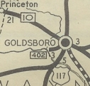
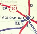
In late 1934, NC 111 was extended through Goldsboro with US 70, then replaced NC 402 to Cherry State Hospital.
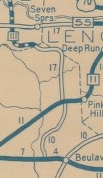
About 1935, NC 111 was extended south from NC 11 to NC 24 near the NE Cape Fear River. Also about 1935, NC 111 was straightened out in Wayne County below the Neuse River to use today's NC 111 south to Gladys, but it still veered east to Lenoir County to today's NC 903. In 1940, NC 111 was rerouted at Albertson to go directly to Wayne County like it does now.
|
Comment: |
NC 111 is another one of those routes that nobody would drive end-to-end. It is 20 miles shorter to use US 258. NC 111 is the second highest state route number to have a length longer than its number (NC 150 is tops on this list). |
Last Update: 28 August 2009
Previous: N.C. 110 |
Next: N.C. 112
Top | NCRoads.com
Home
