N.C. 344
< 343 | Home | 345 >
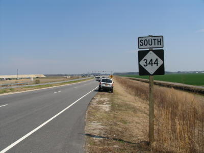
Photo: NC 344 leaving US 17 (Adam Prince)
| N.C. 344 20 miles | |||
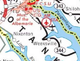
| The Road: | Begins at US 17 near Elizabeth City and ends at Wade Point, where the Pasquotank River runs into Albermarle Sound, all within in Pasquotank County | Towns and Attractions: | Pasquotank Co: Elizabeth City, Elizabeth City Coast Guard Station, Weeksville | History: |
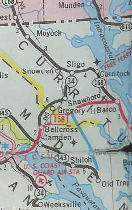
NC 344 first appeared on the 2006 Official Map, running as it does now. From US 17 to Herrington Rd was an upgrade to SR 1152 and the rest was a renumbering of NC 34. This is the 2nd NC 344.
Mapmikey attempted to field verify this in Feb 2006 but found no NC 344. Adam Prince checked later and found NC 344 signs, all dated in April 2006.
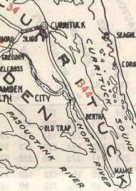
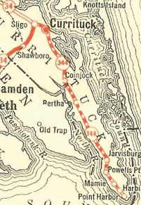
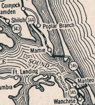
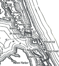
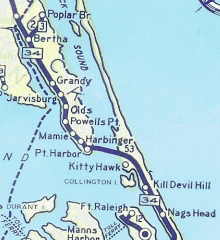
The original NC 344 was an original state highway, running from its parent NC 34 Sligo (the current NC 34-NC 168 jct) and ran east to Currituck, then south to Maple, Barco, Waterlily, Bertha, Grandy, Jarvisburg, and Powells Point before ending at Mamie.
|
Comment: |
NC 344 is mislabeled as NC 334 on the on-line NCDOT Pasquotank County Map
I'm not sure why NC 34 needed to be renumbered. NC 344 would've worked great as a designation for just Halstead Blvd. NC 344's south end is literally on the water's edge... |
Last Update: 14 November 2025
Previous: N.C. 343 |
Next: N.C. 345
Top | NCRoads.com
Home
