N.C. 345
< 344 | 345-A | 345-E | Home | 346 >
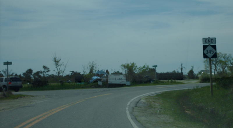
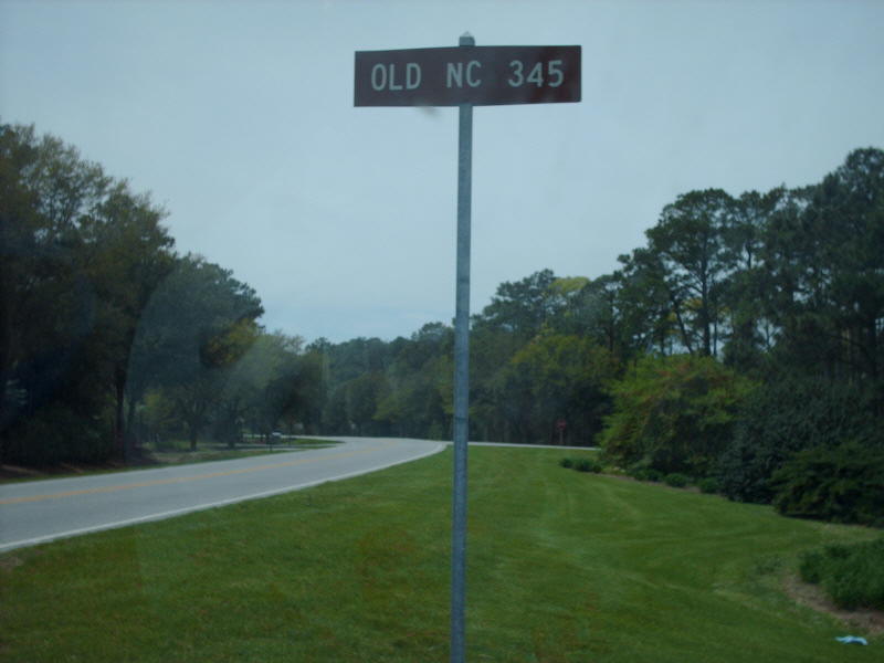
Photo: NC 345 ends near the Marina (Mapmikey)
| N.C. 345 4 miles | |||
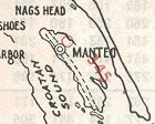
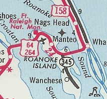
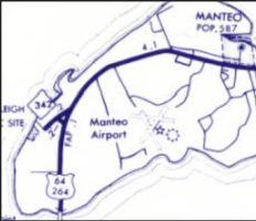
| The Road: | Begins at US 64-64 Bus near Manteo and ends at the village of Wanchese, all within Dare County. | Towns and Attractions: | Dare Co: Wanchese | History: |
NC 345 was an original state highway. It ran at least from Manteo south to Wanchese. The 1923-24 Auto Trails shows NC 345 as 7 miles while later maps show a 12 mile length (but distance might include spurs?), so it is unclear how 345 may have initially run early on.
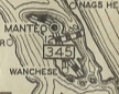
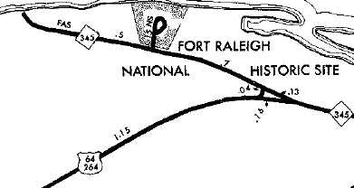
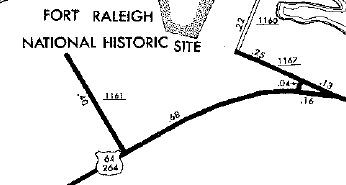
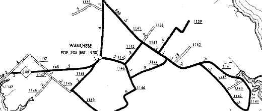
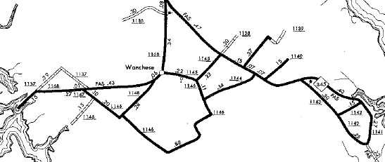
It appears that by 1924, NC 345 ran from Wanchese north to the Fort Raleigh Monument. In 1930 a bridge to Nags Head appeared and is shown as primary routing on the 1930 Map but unlabeled. The 1930 Dare County Map shows today's NC 12 as NC 346 so this bridge connection may have been NC 346. About 1950, US 64-264 was routed onto Roanoke Island. County maps through 1958 show NC 345 duplexed with US 64-264 and entered Fort Raleigh Nat'l Monument.
In August 1967 (NCDOT), NC 345 was removed from its southern ending on the west side of Wanchese and moved to its current end. This was an upgrade to SR 1141 which had been NC 345-A for many years. The old 345 end became SR 1168, some of which has also been blocked off at the end.
|
Comment: |
NC 345 is posted only on brown unisigns on its north end and sparingly elsewhere. How did Roanoke Island get a state route in 1921?
|
Last Update: 22 March 2025
Previous: N.C. 344 |
Next: 345-A | 345-E | N.C. 346
Top | NCRoads.com
Home