< US 217 | Home | US 220 >
US 19 | US 319

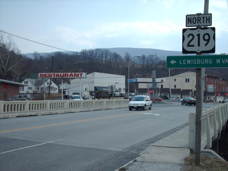
Photo: US 219 northbound in Rich Creek (photo by Mapmikey 3/10/07)
|
|
|
| ROUTE LOG |
US 460: 0 - 0 WV STATE LINE: 1.73 - 1.73
|
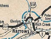
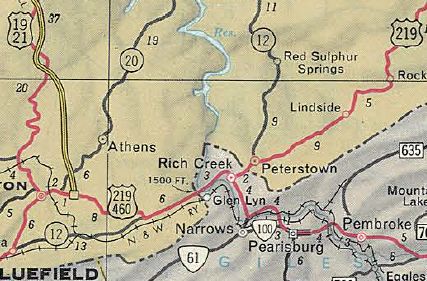
| Creation: US 219 appeared in Virginia by Sept 1934 (AASHO), replacing VA 124 from Petersburg, WV to Rich Creek and VA 8 from Rich Creek to the West Virginia Line at Glen Lynn. The extension from US 40 near Frostburg MD south to Princeton WV (thus clipping a bit of Virginia) was first proposed by AASHO on June 23, 1932, which was evidently in response to a Aug 11, 1931 request from West Virginia (and there was concurrence from Virginia) to extend US 219 to Rich Creek VA, then replace VA 23 southeast to US 11 in Christiansburg.
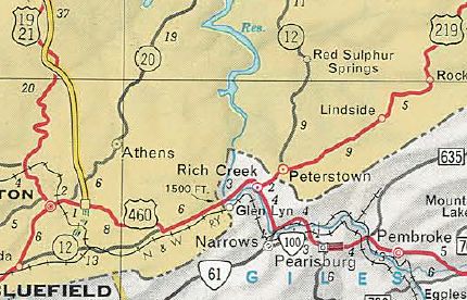
Adjustments: On Jan 1 1947 (VDOT), US 460 was added to US 219 from Rich Creek westward. In Nov 1966 (AASHO), US 219 south was truncated to US 460 (now SR 806) in Rich Creek. The old route west of Rich Creek is SR 806 then abandoned roadway then SR 1308 in Glen Lyn, then SR 648 Ball Ave to the state line. In Nov 1975 (CTB), US 460 was removed from central Rich Creek onto its multilane routing through the area, and thus US 219 was extended west along SR 806 across the actual Rich Creek then south as newly constructed road to meet US 460.
Improvements: paved upon designation; multilaned on Virginia St with its re-extension in 1975. Posted: Fully posted Multiplexes: None Legislative names: None Other names: Federal St, Virginia St, Island St Scenic Byway: No segments Comments: US 219 is currently the 3rd shortest US route in Virginia behind US 11E and US 11W. Given its lentgh there is not much to discuss - the ride is over before you blink, but it does cross the only bridge I've seen with 2 different shielded date plates (last entry at this link). Despite being truncated in the 1960s, the BGS on the West Virginia Turnpike still had US 219 shields as late as 1982. | |||||||||
Previous: US 217 |
Next: US 220
US 19 | US 319
Top | Virginia Hwy Index
Home
Page last modified 17 February 2022


