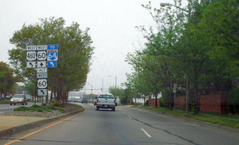
  |
From: 
 Ocean View (City of Norfolk) Ocean View (City of Norfolk)
To:

 Ocean View (City of Norfolk) Ocean View (City of Norfolk)
Total Length: 1.46 miles
|
|
|
|
|
|
ROUTE LOG
US 60, VA 168 BEGIN: 0 - 0
US 460 WB, VA 168 SB: 0.75 - 0.75
US 60, US 460 END: 0.71 - 1.46
|
|
Creation: Appeared August 2004. Ran as it does today. This is the 3rd US 60 ALT.
Adjustments: None
Improvements: Paved and multilaned at time of inception
Posted: Posted from US 60 WB at US 460 and also on US 460 at the ramp to VA 168 NB. Not posted at all eastbound.
Multiplexes: VA 168 (0.75 mi)
US 460 (0.71 mi)
Legislative names: NONE
Other names: Granby St (w/US 460); Tidewater Dr (w/VA 168)
Scenic Byway: No segments
Comment: This appears to be a part of the effort to move US
60 westbound traffic to I-64 via 4th view, as left turns from US 60 Ocean View Ave
onto 4th View are no longer permitted.
|
Previous US 60 ALT's:
1960 ROUTE LOG
US 60: 0 - 0
US 60: 0.71 - 0.71
1945 ROUTE LOG
WV STATE LINE: 0 - 0
US 60: 10.19 - 10.19
|
|
US 60 ALT #1: Mentioned as early as July 1938 (CTB), running on Virginia Ave (now Warwick) from 34th to 25th then east on 25th to Jefferson.
US 60 ALT was renumbered as mainline US 60 in Sept 1961 (CTB). The
only Official map to show this explicitly was ironically enough the
1961 issue. It is in the 1958 VDOT County Atlas and erroneously shown
on the 1963 Esso map of Hampton Roads.
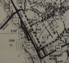
US 60 ALT in Newport News
1940 Elizabeth City County
|
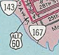
The only official showing US 60 ALT #1.
1961 Official
|
US 60 ALT #2: Appeared August 1941 (CTB) as an upgrade to
SRs 600 and 662. Ran from US 60 (now VA 159) Callaghan west to the West
Virginia Line.
US 60 ALT was renumbered as mainline US 60 in Oct 1947 (CTB).
Today it is SR 661 and some F-routes along I-64 west of Callaghan.
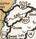
US 60 ALT #2
1944 Official
|
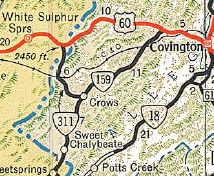
US 60 replaces US 60 ALT
1948 Official
|
|
