< VA 179 | Home | VA 180-Y | VA 181 to VA 200 >
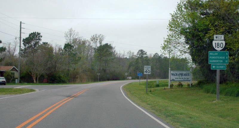
Photo: VA 180 leaving Wachapreague (photo by Mapmikey 4/26/07)
| ||||||
| ROUTE LOG BEGIN VA 180: 0 - 0 VA 178 SB: 3.06 - 3.06 VA 178 NB: 0.03 - 3.09 US 13 SB: 3.35 - 6.44 US 13 NB: 0.46 - 6.90 VA 180Y: 4.30 - 11.20 SR 1701: 0.05 - 11.25 |
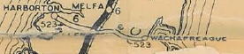
Creation: Appeared July 1933 as a renumbering of VA 523 running from Harborton to Wachapreague. This is the only VA 180.
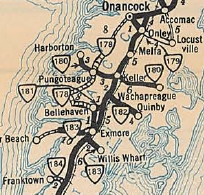
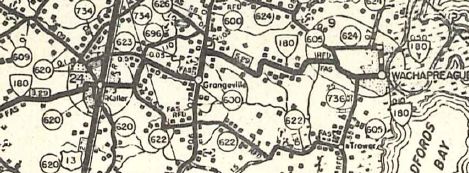
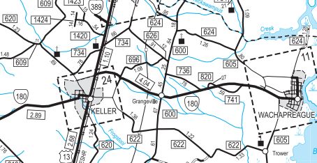
Adjustments: In Aug 1933 (CTB), VA 180 was extended west 0.10 miles to its current endpoint. In Sept 1974 (CTB), VA 180 was placed on SR 623 plus new construction from Keller through Grangeville to Laurel Mount near Wachapreague, leaving behind SR 696 N R North St and Keller Fair Rd; SR 600 Seaside Rd; SR 736 Bradford Rd; SR 802 Fishermans Rd; SR 741 Ole Rd; SR 821 Locust Mt Rd
Improvements: Paved upon designation. VA 180 was multilaned in 1974 when it was duplexed with US 13. Posting: Fully posted; Multiplexes: VA 178 (0.03 mi) US 13 (0.46 mi) Legislative names: None Other names: Shore Dr (Harborton); Harborton Rd (west of VA 178); Pungoteague Rd (east of VA 178); Jefferson Ave/NR North St/Lankford Hwy (Keller); Wachapreague Rd (east of US 13); Main St (Wachapreague) Scenic Byway: VA 178 to SR 605, since 2-16-94. Comment: VA 180 makes a zig-zag in western Keller. Before 1974, VA 180 was a series of zigs and zags east out to Wachapreague. | |||||
Previous: VA 179 |
Next: VA 180-Y | VA 181 to VA 200
Top | Virginia Hwy Index
Home
Page last modified 30 December 2017