< VA 306 | Home | VA 307-Y | VA 308 >
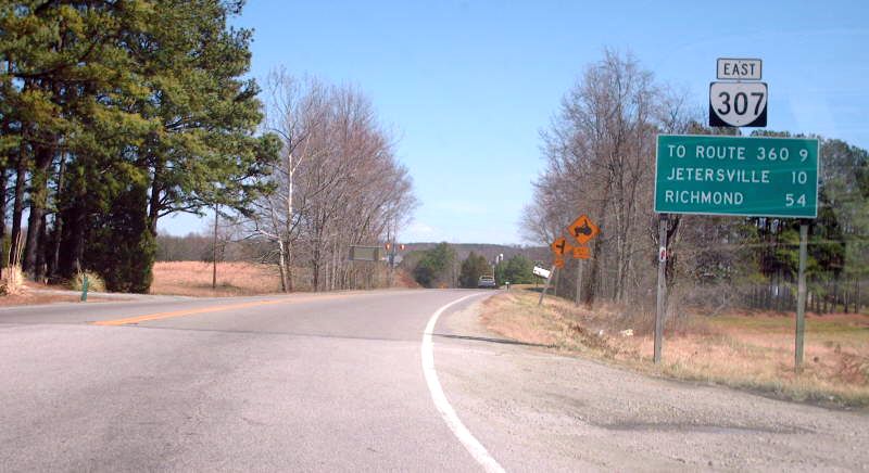
Photo: VA 307 leaving US 460 (photo by Mapmikey March 2007)
| |||||||||
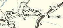
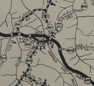
| ROUTE LOG US 460: 0 - 0 Nottoway-Prince Edward Line: 2.83 - 2.83 Amherst-Nottoway Line: 5.42 - 8.25 US 360: 1.07 - 9.32 |
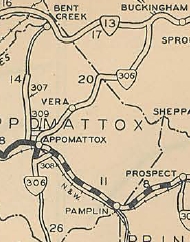
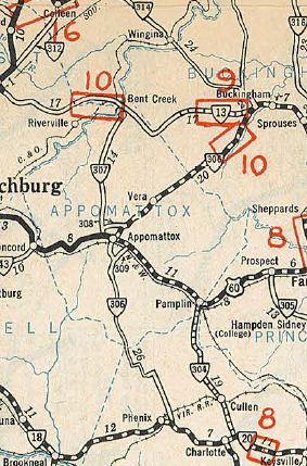
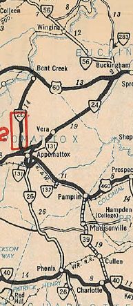
Creation: Appeared as a newly numbered route in Aug 1936 (CTB). Ran
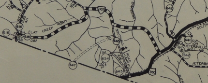
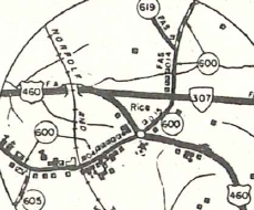
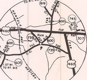
in two pieces: US 360 near Jetersville west 6 miles (replaced SR 641 and parts of SR 645 and SR 618); US 460 (now SR 735 at SR 600) Rice east 1.61 miles. This is the 2nd VA 307.
Adjustments: In May 1938 (CTB), the two pieces were connected using a wavy configuration. In September 1940 (CTB minutes), VA 307 was given its current direct routing. The old route used Amelia SR 658, SR 645, SR 657 (some still unpaved), then Amelia/Nottoway SR 616, a small piece of dirt road south-adjacent to modern 307, Nottoway SR 620 and Prince Edward SR 600. The western endpoint became today's US 460 jct with SR 735 west of Rice.
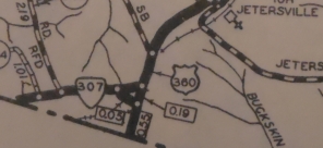
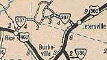
In 1967, VA 307 was changed on its eastern end to meet US 360's newly 4-laned status. VA 307 replaced VA 307-Y to meet US 360 more perpendicularly while the original VA 307 ending becmae the current ramp from US 360 westbound to VA 307. About 1973, VA 307 west was truncated as US 460 was given its bypass of Rice which included the westernmost bit of VA 307.
Improvements: Paved about 1941; no multilane segments Posting: Fully posted Multiplexes: NONE Legislative names: NONE Other names: Holly Farms Rd. (entire route) Scenic Byway: No segments Comment: A common short cut between Richmond and Farmville | ||||||||
| Previous VA 307's: 1931 ROUTE LOG US 60, VA 10, VA 308: 0 - 0 END VA 307: 14.31 - 14.31 |
|
||||||||
Previous: VA 306 |
Next: VA 307-Y | VA 308
Top | Virginia Hwy Index
Home
Page last modified 24 January 2020