< VA 318 | Home | VA 320 >
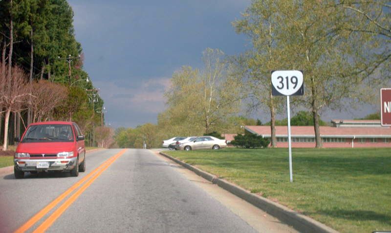
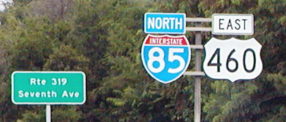
Photo: VA 319 leaving US 1 near I-85 (Mapmikey, April 2007)
| ||||||
|
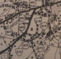
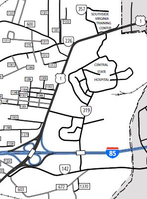
Creation: The earliest explicit VA 319 reference was the Oct 1938 CTB. The July 1932 CTB Minutes assigned 2.68 miles to the Central State Hospital outside Petersburg, VA. This is the 2nd VA 319.
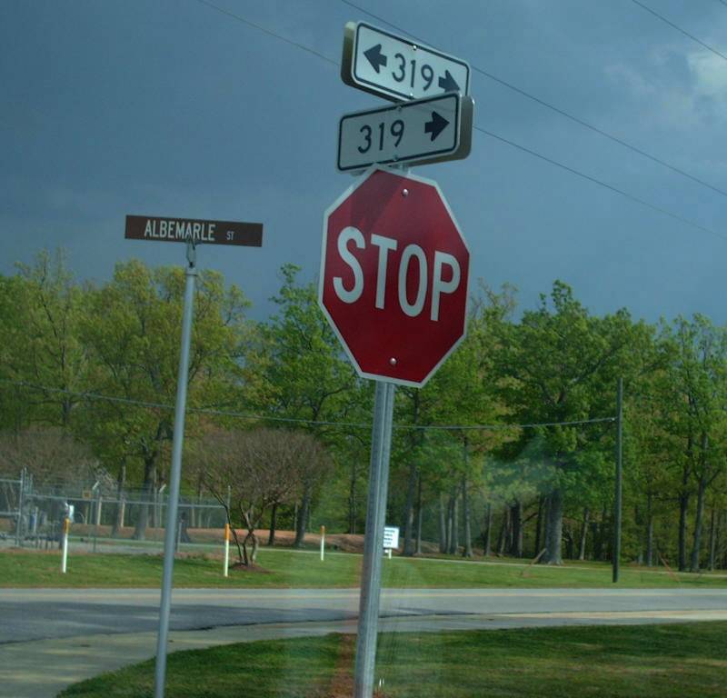
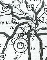
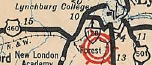
Adjustments: In Oct 1953 (CTB), 5 new roads totaling 1.56 miles were added to VA 319, while one 0.11 mile road was removed from VA 319. In Oct 1957 (CTB), new driveways plus a new entrance to US 1 just north of I-85 were added to VA 319 (0.52 miles total). In May 1958 (CTB), a 0.40 mile segment of VA 319 "leading from a point on Route 1 opposite the main entrance northwest..." was removed from VA 319. This was evidently never shown on even the county maps. Later the back half of that segment became the last part of the western segment of VA 357 (now completed destroyed). In March 1970 (CTB), 10 streets totaling 1.84 niles were added to VA 319, while two streets totaling 0.26 miles were removed from VA 319. A short stub of VA 319 existed off US 1 south of VA 142. When the Richmond-Petersburg Tpk was built, VA 142 was rerouted a little south, bisecting this very short road which was eventually dropped from the system. This is completely gone now but it connected to US 1 directly across from today's SR 1324 and the southeast endpoint is covered by a building in the industrial park. Posting: Shield reassurance marker at VA 142 and both US 1 entrances; also identified at I-85 US 460 overpass Mapmikey drove through here in April 2005 from US 1 to VA 142. There are a ton of 319 rectangle markers at internal intersections with in the facility. They were all new (did I miss a pile of cutouts?). This is the most heavily posted state facility I have seen. Comment: Official maps in the 1950s show but don't label VA 319.
|
||||||
| Previous VA 319's: 1932 ROUTE LOG VA 10: 0 - 0 Campbell-Bedford Line: 0.25 - 0.25 US 29, VA 14: 3.75 - 4 VA 10, VA 18: 3.95 - 7.95 |
VA 319 #1: Appeared as a newly numbered route in December
1930 (CTB Minutes). Ran from VA 10-18 (current US 460 Bus, US 501 Bus)
east of Lynchburg southwest 7 miles to past VA 14 (current VA 163).
In July 1932 (CTB Minutes), VA 319 was extended west the remaining 0.95 miles to VA 10 (current US 221) near Forest, another rarity of a 3-digit line crossing a district line. VA 319 was renumbered as part of VA 128 in July 1933. Today this is mostly Graves Mill Rd.
|
|||||
Previous: VA 318 |
Next: VA 320
Top | Virginia Hwy Index
Home
Page last modified 5 May 2020