< VA 342 | Home | VA 344 >
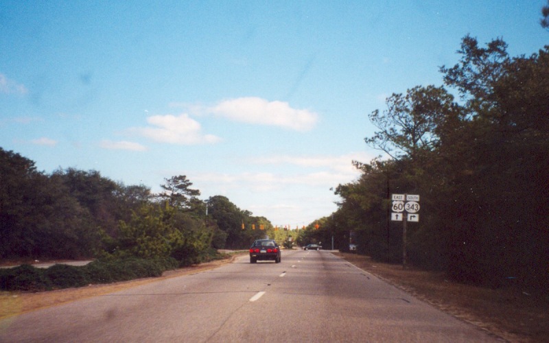
Photo: VA 343 incorrectly posted from US 60 EB (photo by Adam Froehlig, February 2002)
|
|
|
| ROUTE LOG |
|
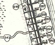
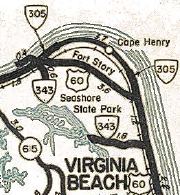
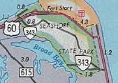
Creation: Created in July 1940 (CTB) when Park routes R-1, R-2, R-3, and R-5 in Seashore State Park (opened in 1936) were taken into the primary system, a total of 2.727 miles. The segments are essentially the road from the oceanfront campground across US 60 to the park entrance; the 64th St road to Broad Bay - note this segment has never connected to US 60. 64th St between the gate and US 60 was SR 1264. This is the 2nd VA 343.
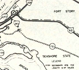
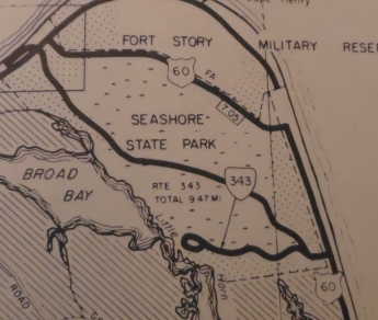
| Adjustments: In June 1963 (CTB), 6.47 miles of road within the park that had been maintained by the no-longer-existent Princess Anne County as (unpaved) SR 755 was taken into the primary system. Only the 1969 and 1970 Officials show the road traversing the park. In Aug 1967 (CTB), 1.72 miles of roads in the camping area were added to VA 343.
At some point, much of the SR 755 addition was turned into the Cape Henry Hiking Trail (now 6.1 miles) that traverses the park, reducing VA 343 to the current 6.99 miles. Improvements: Paved upon inception; no multilane segments Posted: The northern (original) segments west of Fort Story are posted with shields in each direction on US 60. The 64th St section had no postings in 1991 or 2008. In 1991 VA 343 was posted in circles on US 60 and later were replaced by ovals. Last time I was there the shields were correct. Multiplexes: None Legislative names: None Other names: None Scenic Byway: No segments Comment: Seashore State Park's name officially changed to First Landing State Park in 1997. VA 343 is implied on maps starting in 1938 and explicitly since 1944.
| Previous VA 343's:
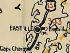
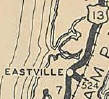
1928 ROUTE LOG US 13, VA 34: 0 - 0 END VA 343: 0.4 - 0.4 |
VA 343 #1: Appeared in June 1926 (CTB) as new primary routing running 0.4 miles east from VA 34 (now US 13 Bus) Eastville to Eastville Station at the railroad tracks. In August 1928, VA 343 was renumbered as VA 524. Today it is SR T631. The 1927 Official erroneously labels this as VA 341. The 1926 and 1928 Officials label it 343.
|
|||||||||||||
Previous: VA 342 |
Next: VA 344
Top | Virginia Hwy Index
Home
Page last modified 29 August 2022