VA 348
< VA 347 | Home | VA 349 >
VA 348
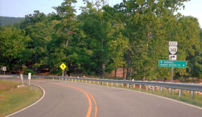
Photo: VA 348 from VA 16 NB (photo by Mapmikey, August 2007)
From:  near Marion (Smyth County)
To:  Hungry Mother State Park
Total Length:  0.6 miles  
ROUTE LOG
VA 16: 0 - 0
SR 703: 0.6 - 0.6
Creation:  VA 348 was created in July 1940 (CTB) when Park route R-1 in Hungry Mother State Park (opened in 1936) were taken into the primary system, a total of 0.625 miles. This is the only VA 348.
Adjustments:  None
Improvements:  paved upon inception; no multilane segments
Posted:  Fully posted with shields at VA 16. A single cutout at the SR 703 end as of 2008.
In the early 90s a plethora of cutouts still existed.
Multiplexes:  None
Legislative names:  None
Other names:  Hungry Mother Dr
Scenic Byway:  No segments
Comment:  VA 348 appears on all officials since July 1940.
Hungry Mother State Park is gorgeous in the fall.

VA 348 (1940 Official)
VA 348
1940 Official
VA 348 (1946 Smyth County)
VA 348 in detail
1946 Smyth County


Previous: VA 347  |  Next: VA 349
Top  |  Virginia Hwy Index Home

Page last modified 29 August 2022