< VA 390 | Home | VA 392 >
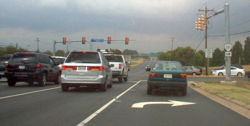
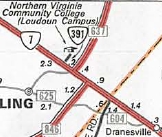
Photo: VA 7 WB at VA 391 (photo by Mapmikey, August 2006)
|
|
|
| ROUTE LOG |
VA 7: 0 - 0 END VA 391: 0.17 - 0.17
|
|
| Previous VA 391's:
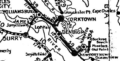
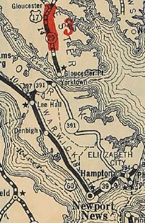
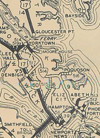
1928 ROUTE LOG US 17 SB, US 60, VA 39: 0 - 0 VA 397: 1 - 1 US 17 NB, VA 29: 6 - 7 END VA 391: 20 - 27 |
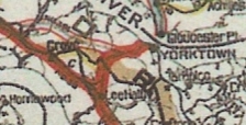
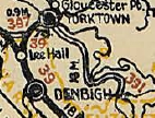
VA 391 #1: Appeared in 1923 as a renumbering of VA 9 SPUR, running from Williamsburg to Yorktown via SR 641, SR 640 and Old Williamsburg Rd through the Yorktown Naval Station. VA 391 then used Wolf Rd and VA 238 to SR 1020 into Yorktown, where the route ended at the ferry across the York River (VA 29 met from the other direction).
In March 1924 (CTB), VA 391 was rerouted to follow VA 238 west through Lebanon Church and headed to Lee Hall. The old path towards Williamsburg became secondary forevermore. Also in March 1924 (CTB), VA 391 was extended southeast 6.25 miles from Yorktown to roughly Grafton as an upgrade to CR 4. In Jan 1925 (CTB), VA 391 was extended southeast 5.5 more miles to west of Poquoson. In May 1926 (CTB), VA 391 was extended southeast 3.6 miles to south of Poquoson. In late 1926, US 17 was assigned to VA 391 from Lee Hall to Yorktown.
In March 1927 (CTB), VA 391 was extended 4.7 more miles. In August 1928, VA 391 was renumbered as VA 514. Today it is VA 238, SR 1020, SR 634 Old Yorktown-Hampton Hwy, US 17, SR 621 through Grafton; US 17; SR 706 Yorktown Rd, VA 171, Yorktown Rd into Poquoson Rd, VA 172, and Armistead Av. VA 391 ended approximately 2.4 miles north of Queen St. which would be on Armistead just north of Mercury Blvd. The 1927 and 1928 Official maps erroneous show VA 391 connecting back to US 60/VA 39 in Hampton.
|
|||||||||||||
