< VA 391 | Home | VA 393 >
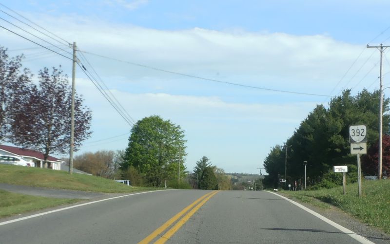
Photo: SR 707 NB at former VA 392 (photo by Mapmikey, May 2014)
| VA 392 not currently assigned | |||||||||
| Previous VA 392's:
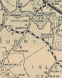
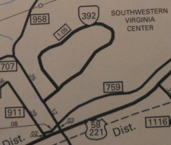
1928 ROUTE LOG SCL Wakefield: 0 - 0 VA 10: 15 - 15 GAP IN ROUTE Jamestown Ferry: 0 - 15 US 60, VA 39: 5 - 20 2021 ROUTE LOG SR 707: 0 - 0 VA 392: 0.10 - 0.10 VA 392: 0.95 - 1.05 |
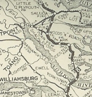
VA 392 #1: Appeared in Oct 1923 (CTB) as a renumbering of VA 9 SPUR running from VA 39 (now just Richmond Rd) Williamsburg south via today's Jamestown Rd, Mill Neck Rd (no longer connects to), SR 617, SR 618, SR 682, west along today's Colonial Pkwy, then cut south at the parking area to a causeway (still visible on Google Earth) and crossed Thoroughfare Creek onto Jamestown Island to meet the ferry in the area of the historic settlement.
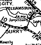
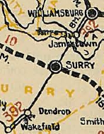
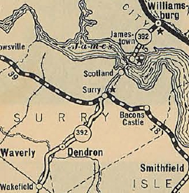
In mid-1926, a separate piece of VA 392 was assigned to what had been put into the system as VA 351 from Dendron through Wakefield to its SCL (current SR 628-620 jct). This piece was not connected to any other part of the highway system. In 1925 (per Wikipedia), the ferry from Jamestown to Scotland was established as a private enterprise. The Jamestown wharf was on Jamestown Island at that time. About 1927, VA 392 was rerouted to use today's VA 5 and 31 directly to SR 682. In March 1927 (CTB), VA 392 was extended from Dendron to VA 10 Surry C.H. In March 1928 (CTB), a permit was granted to Eastern Virginia Bridge Company to build a toll bridge between Scotland Wharf and Jamestown Island. In Aug 1928, both pieces of VA 392 were renumbered as VA 510. Today the southern piece is VA 31 and a liitle SR 628.
| ||||||||
