< TN 78 | Home | TN 80 >
|
|
|
| ROUTE LOG |
BEGIN TN 79: 0 - 0 TN 181: 6.7 - 6.7 TN 78: 3.7 - 10.4
|
Creation: Appeared in 1927 or 1928 running essentially as it does today. This is the 2nd TN 79.
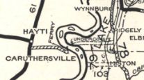
| Adjustments: Sometime after 1981, TN 79 was rerouted to accommodate the TN 181 jct with TN 79 requiring two turns to continue west. Prior to this TN 79 was arrow straight through this area. Posting: Posted as primary east of TN 181; secondary routing everywhere else, though after making the turn at TN 181 there are no further TN 79 shields leaving an unmarked turn. Secret US Route Overlay: None Comment: TN 79 used to lead to a ferry to Caruthersville MO until 1976 when the I-155 bridge was completed not far away. The western 4 miles of TN 79 are no longer paved. Given that it is not posted or well maintained west of TN 181, TN 79 should just be dropped west of there and TN 181 should replace TN 79 to TN 78.
|
 TN 79 to the ferry 1929 Official | Previous TN 79's:
|
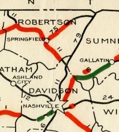
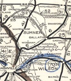
TN 79 #1: Appeared between 1924-26 as new routing running from TN 11 (now US 31W-41 at Old Louisville Hwy) above Goodlettesville to the Kentucky Line at Mitchellville. Reubensville to Mitchellville was a renumbering of TN 75.
In 1927 or 1928, TN 79 was renumbered as TN 41. Today it is Old Louisville Hwy (no longer connects to US 31W at I-65 exit 98); US 31W to Kentucky except: C. Smith Rd near Millerville; New Radar Rd (no longer connects to), Woody Ln, Jarrett Rd, Denson Ln and Florence Ln into White Hill; "Old Hwy 31" and Meadowlark Rd near Rolling Acres; "Old Hwy 31W" (no longer connects to) and South Rd in the TN 25 area; "Old Hwy 31W" at the Red River area; lengthy visible abandoned segment to the west from Old TN 52 EB to north of Byrum Chapel Rd; Old Hwy 31W in the Summers Branch area
| ||||||||

