< US 150 | Home | US 220 >
|
|
|
|
| ROUTE LOG |
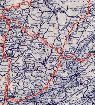
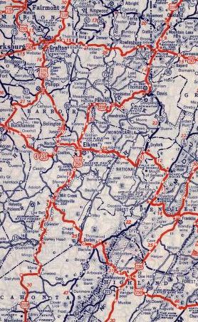
Virginia State Line: 0 - 0 WV 12: 0.1 - 0.1 WV 122: 16.1 - 16.2 WV 3 EB: 8.5 - 24.7 WV 3 WB: 4.0 - 28.7 Greenbrier-Monroe Line: 4.6 - 33.3 WV 63 EB: 2.6 - 35.9 WV 63 WB: 4.1 - 40.0 US 60: 4.6 - 44.6 I-64 (exit 169): 1.5 - 46.1 Pocahontas-Greenbrier Line: 21.4 - 67.5 WV 39 WB, WV 55 WB: 10.0 - 77.5 WV 39 EB: 8.3 - 85.8 WV 150: 7.1 - 92.9 WV 66: 13.9 - 106.8 Randolph-Pocahontas Line: 3.1 - 109.9 WV 15: 8.4 - 118.3 US 250 SB, WV 92 SB: 6.1 - 124.4 US 33 EB, WV 55 EB: 17.9 - 142.3 WV 92 NB: 1.1 - 143.4 US 48 EB, US 219 NB: 1.7 - 145.1 Tucker-Randolph Line: 11.5 - 156.6 WV 72 NB: 8.1 - 164.7 WV 72 SB: 2.0 - 166.7 US 48 EB, WV 32: 11.8 - 178.5 WV 90: 1.3 - 179.8 Preston-Tucker Line: 4.5 - 184.3 WV 24: 3.3 - 187.6 Maryland State Line: 1.5 - 189.1
|
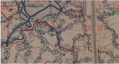
Creation: Appeared in September 1934 (AASHO) replacing WV 24 and WV 24E running like it does today plus extended south (after a brief incursion into Virginia) to US 19-21 Princeton. The extension from US 40 near Frostburg MD south to Princeton WV was first proposed by AASHO on June 23, 1932, which was evidently in response to a Aug 11, 1931 request from West Virginia to extend US 219 to Rich Creek VA, then replace VA 23 southeast to US 11 in Christiansburg.
|
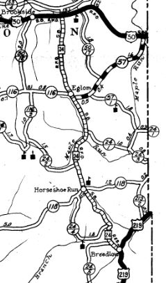
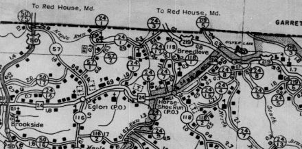
Adjustments: In 1936 or 1937, US 219 was rerouted at the Maryland line, replacing CR 219/2 and leaving behind today's CR 219/5 Bill Roth Rd.
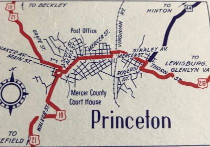
Between 1943-46, US 219 was rerouted in Princeton to leave Mercer Ave at Honaker over to Walker (US 19-21). The original routing was Mercer to Main west to the Courthouse Square. It is unclear if US 219 still ended at the courthouse with this slight rerouting.
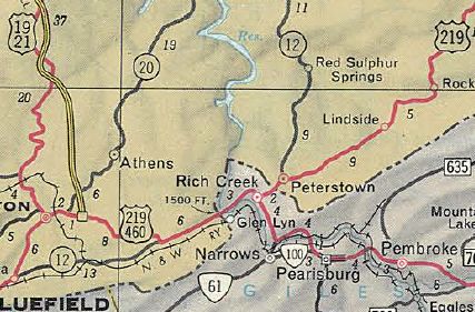
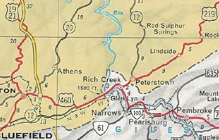
In November 1966 (AASHO), US 219 south was truncated to Rich Creek, Virginia, leaving behind US 460 to Princeton. Most of US 460 from Princeton to Virginia has since been moved onto Corridor Q, with US 219's last routing being thus: WV 20; WV 104; CR 460/10 Oakvale Rd (no longer connects to); CR 460/2 and CR 460/1 Hilltop Dr; CR 460/5 Fountain Park Rd; CR 35 Goodwins Chapel Rd; a bit of WV 112; CR 460/6 Goodwins Chapel Rd; current US 460; Ball Ave loop at the state line.
In 1967, US 219 was placed on newly constructed alignment between Beverly and Elkins, leaving behind CR 219/19 Old US 250, CR 219/12 SH Wood Rd, CR 219/11 Country Club Rd from Hazelwood to Midland, CR 25 and CR 5/6 Glenmore Loop Rd, CRs 219/30, 219/32 and CR 219/33. It is unclear when, but US 219 was given one-way splits in Fairlea, as early as 1980. In August 2002 (WVDOT), US 219 was placed onto newly constructed Corridor H routing from north of Elkins to Kerens. The old route became CR 219/86 Improvements: Fully paved upon inception Between 2000-01, US 219 was multilaned from Beverly to Elkins In 2002, US 219 was multilaned on its new Corridor H routing from North Elkins to Kerens Comment: US 219 is the main north-south route through eastern West Virginia, though a significant portion of it is fairly mountainous and slow to drive. There is a posted US 219 TRUCK in Lewisburg, running along CR 45/1 Holt Ln between US 60 and US 219 east of downtown. |
||||||||||||||
