< WV 5 | Home | WV 7 >
|
|
|
| ROUTE LOG |
WV 61: 0 - 0 Kanawha-Fayette Line: 0.2 - 0.2 US 60: 0.4 - 0.6
|
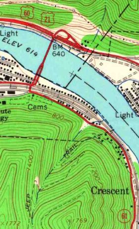
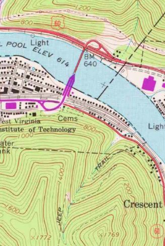
Creation: Appeared in 1956 as a new Kanawha River crossing between Montgomery and Smithers. The south end originally was at 5th Ave. in Montgomery. This is the 2nd WV 6.
| Adjustments: Between 1967-77, WV 6 was extended south as additional bridge to the relocated WV 61.
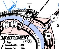
Improvements: Fully paved upon designation; no multilane segments. Comment: WV 6 is unposted. From WV 61 it is posted as TO US 60. From US 60 it is posted as if it were WV 61. Does not appear labeled on normal state officials but does appear on some statewide traffic count maps as well as the Kanawha County map
| Previous WV 6's:
1928 ROUTE LOG US 50: 0 - 0 WV 73: 16 - 16 US 19: 1 - 17 WV 7 EB: 26 - 43 WV 7 WB: 3 - 46 WV 70: 1 - 47 WV 2: 35 - 82 |
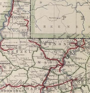
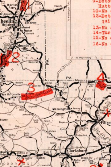
WV 6 #1: An original 1922 state route. Ran from WV 1 (now US 50) near Pruntytown heading northwest through Fairmont and Mannington before ending at WV 2 (now Jefferson Ave) Moundsville.
In late 1928, WV 6 was renumbered as US 250. Today WV 6 is approximated by US 250 from US 50 to Moundsville except: CR 250/60 Three Ways Rd near I-79; it is unclear if WV 6 was removed from CR 250/55 Mary Lou Retton Dr and CR 56 W. Fork River Trail before it became US 250; CR 250/53 Barrackville to Pine Grove; CR 91 from Pine Grove through Farmington and Rachel to Mannington; Water St-Buffalo St-CR 250/54 Pyles Ave through Mannington which no longer connects to CR 250/81 Old Rte 250; Old Town Rd/State Fork Rd through Metz; CR 250/6 May Ln through Burton; Wetzel St/WV 69 in Hundred.
|
||||||||||||
Previous: WV 5 |
Next: WV 7
Top | West Virginia Hwy Index
Home
Page last modified 4 November 2017

