< WV 30 | Home | WV 32 >
|
|
|
| ROUTE LOG |
WV 16: 0 - 0 US 50 EB: 13.9 - 13.9 Wood-Ritchie Line: 3.8 - 17.7 US 50 WB: 3.5 - 21.2 WV 2 SB: 9.5 - 21.8 WV 2 NB: 0.1 - 21.9 WV 14 NB: 4.6 - 26.5 WV 14 SB: 1.4 - 27.9 Ohio State Line: 0.3 - 28.2
|
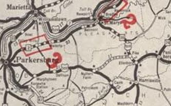
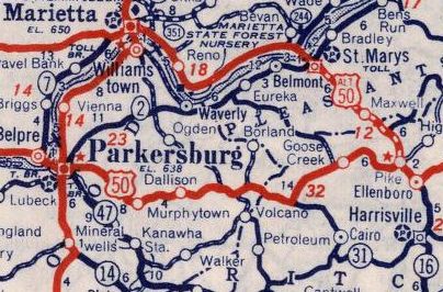
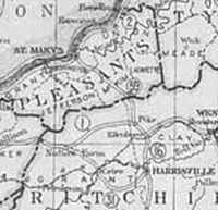
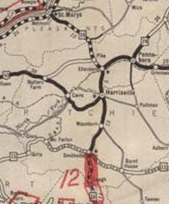
Creation: Appeared about 1934 as a renumbering of US 50S running from the rerouted US 50S (now CR 50/34) Nutters Farm to WV 16 Harrisville. This is the 2nd WV 31.
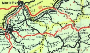
| Adjustments: Between 1943-46, WV 31 was extended west with US 50 to Deerwalk, then replaced CR 3 to end at US 21 (now WV 14) Williamstown. About 1970, WV 31 was extended to the Ohio River Bridge, replacing a bit of US 21. Also in 1970, US 50/WV 31 was moved onto newly constructed Corridor D routing, leaving behind CR 50/41 Deerwalk Rd which no longer connects to SR 5/10 and CR 5 Volcano Rd; US 50; CR 50/42 which becomes CR 50/32 in Ritchie County; CR 50/69 Sand Hill Rd; US 50; CR 50/46 which no longer connects to CR 50/33 which no longer connects to CR 50/36 to Nutter Farm; CR 50/34 Nutter Farm Rd Improvements: Paved upon inception WV 31 was multilaned on its US 50 duplex in 1970. Comment: WV 31 is not posted on its WV 14 duplex nor on the short run to the Ohio River bridge. There is even a WV 31 END sign at the southern WV 14 intersection near I-77. However, multiple WVDOT sources show the Ohio River Bridge as part of WV 31. It is unclear if WV 31 postings were dropped when WV 14 was added to the roadway or later. WV 31 is blown off by I-77 but does meet WV 14 extremely close to its exit with I-77.
| Previous WV 31's:
1927 ROUTE LOG WV 1: 0 - 0 WV 16: 14 - 14 |
WV 31 #1: Appeared 1922 as new primary routing running from WV 1 (now CR 50/34) Nutter Farm to WV 16 Harrisville.
In 1927, WV 31 was renumbered as part of US 50. Today it is again WV 31 except right at Nutter Farm it used CR 50/34 Nutter Farm Rd.
|
|||||||||||
