< WV 31 | Home | WV 33 >
|
|
|
| ROUTE LOG |
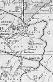
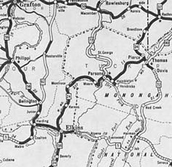
US 33, WV 55: 0 - 0 Tucker-Randolph Line: 4.9 - 4.9 WV 72: 1.7 - 6.6 US 48 EB, WV 93: 13.1 - 19.7 US 48 WB, US 219: 2.1 - 21.8
|
Creation: Appeared between 1929-31 as a renumbering of WV 40 running generally the way it does now. This is the 2nd WV 32.
| Adjustments: Around the time of the change from WV 40 to WV 32, the highway was removed from the lengthy CR 35 through Cortland and CR 32/14 at Canaan Heights. Between 1933-35, WV 32 was removed from CR 43 into Red Creek (now WV 72) and more CR 35 northeast (now this is CR 45/3 then CR 35/19 which ends at Canaan Valley State Park; the N-S portion of Park Rd 817 which no longer exits the north end of the park) In 1938, WVDOH studied requesting replacing all of WV 32 with an unspecified US route number. It is unclear if they formally requested this or not but it obviously did not happen. It appears WV 32 was placed on one-way splits through Thomas between 1950-56. In 1955 (bridge date), WV 32 was rerouted on its south end via new construction to meet the new US 33 routing just outside Harman. The old route is CR 32/5 Main St. Improvements: Paved upon inception from Davis to Thomas The rest was fully paved by 1946 WV 32 has no multilane segments Comment: WV 32 serves Blackwater Falls State Park
| Previous WV 32's:
1927 ROUTE LOG US 50: 0 - 0 Ohio State Line: 13 - 13 |
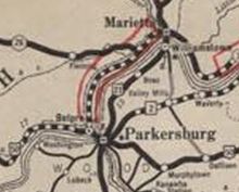
WV 32 #1: Appeared 1922 as new primary routing running from WV 1 (now 6th St) Parkersburg north to the Ohio State Line at Williamstown.
In 1928, WV 32 was renumbered as part of US 21. Today it is WV 14 (NB split within Parkersburg) except it used 13th Ave/12th Ave/12th St south of Vienna; CR 21/33 River Rd/55th St in Vienna; CR 21/3 and 21/2 River Rd in the Boaz-Pohick area; WV 31 over the Ohio River.
|
||||||||||
