< WV 527 | Home | WV 601 >
|
|
|
| ROUTE LOG |
Virginia State Line: 0 - 0 US 460 WB: 2.1 - 2.1 US 460 EB: 0.3 - 2.4 US 52: 0.6 - 3.0
|
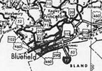
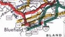
| Creation: WV 598 was designated June 1980 (AASHTO) as a renumbering of US 52 from Bluefield to the Virginia State line on top of East River Mountain. This is the only WV 598. Adjustments: None Improvements: Upon designation, WV 598 was fully paved; multilane on its US 460 overlay. Comment: There is a scenic overlook and old rest area at the state line crossing on top of East River Mountain.
| |||||||
Previous: WV 527 | Next: WV 601 |
Top | West Virginia Hwy Index
Home
Page last modified 8 December 2017


