< WV 612 | Home | WV 622 >
|
|
|
| ROUTE LOG |
Ohio State Line: 0 - 0 WV 14 SB, WV 68 SB: 0.5 - 0.5 WV 14 NB, WV 68 NB: 0.2 - 0.7 WV 14 ALT: 0.9 - 1.6 WV 47: 0.1 - 1.7 US 50: 1.8 - 3.5
|
| Creation: WV 618 was designated about 2007 as a renumbering of US 50 running as it does today. This is the only WV 618. Adjustments: None Improvements: Upon designation, WV 618 was fully paved; multilane on it one-way segments and the Ohio River bridge. Comment: There are some missing signs on WV 618 EB navigating through some turns on one-way streets in downtown. WV 618 inherited one-way splits in downtown Parkersburg: WB uses 8th St and Ann St; EB uses Ann St, 4th St, Juliana St, and 7th St.
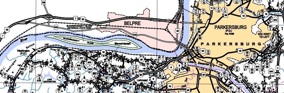
US 50 through downtown Parkersburg 2004 Wood County
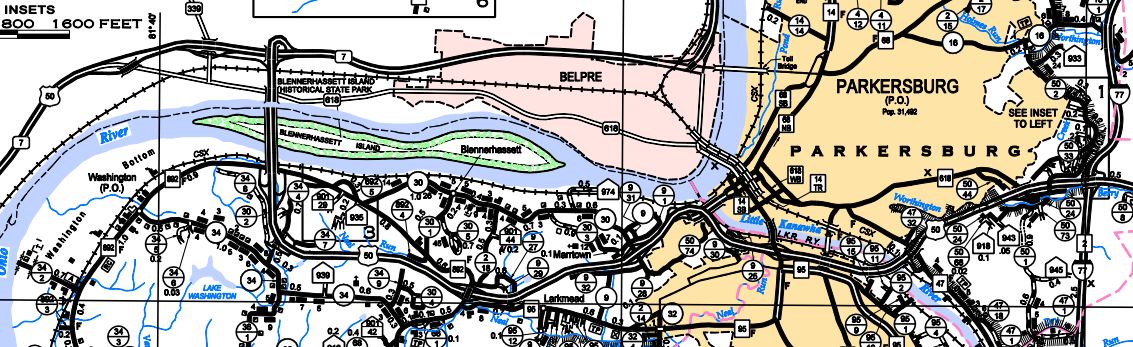
WV 618 through downtown Parkersburg 2014 Wood County | |||||
Previous: WV 612 | Next: WV 622 |
Top | West Virginia Hwy Index
Home
Page last modified 8 December 2017