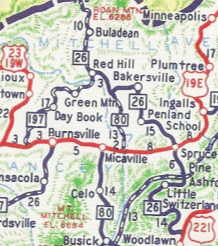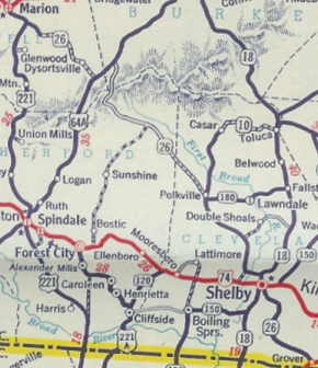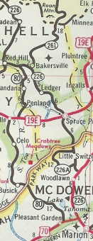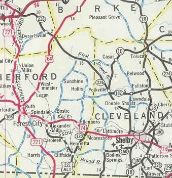
N.C. 226
< 225 | Home | 226-A 231 >
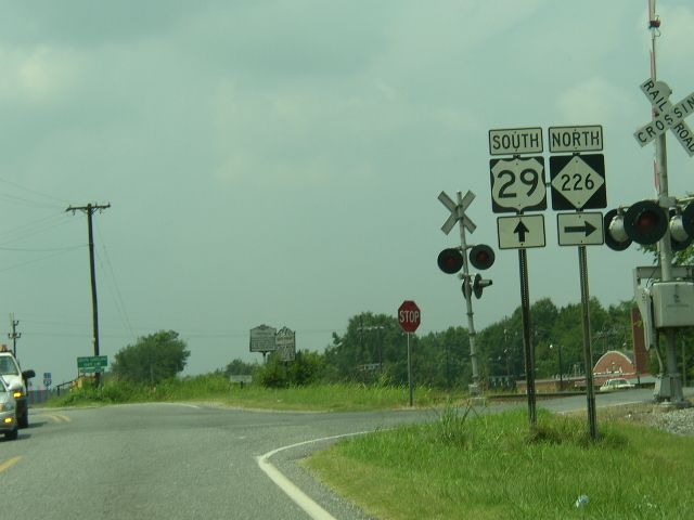
Photo: NC 226 from US 29 (Chris Patriarca)
| N.C. 226 112 miles | |||
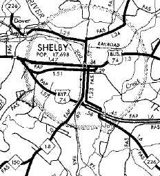
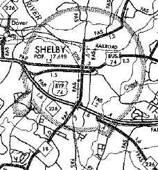
| The Road: | Begins at US 29 Grover (Cleveland County) and ends at the Tennessee State Line above Buladean (Mitchell County). The road continues as TN 107 in a southwest arc back around to the NC Line at Max Patch Mtn. | Towns and Attractions: | Cleveland Co: Grover, Shelby, Polkville Rutherford Co: None McDowell Co: Marion, Pisgah Nat'l Forest Mitchell Co: Spruce Pine, Bakersville |
History: |
NC 226 appeared in 1961 as a renumbering of NC 26. Ran essentially as it does today.
In 1992 or 1993, NC 226 was placed on the new western bypass of Marion. The old route became US 221 Business.
|
Comment: |
NC 226 is largely unchanged since its designation.
The climb north to the Blue Ridge Pkwy is very steep - 1400 feet in 4 miles. by contrast NC 226-A takes 11 miles to do the same. NC 226 skirts the South Mountains and elevates to 3700 feet at the Tennessee State Line. NC 226 falls just a couple hundred feet short of making it to South Carolina. |
Last Update: 29 May 2009
Previous: N.C. 225 |
Next: N.C. 226-A | N.C. 231
Top | NCRoads.com
Home
