< VA 273 | Home | VA 275 >
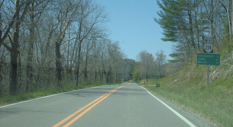
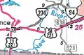
Photo: VA 274 leaving VA 94 (photo by Mapmikey, April 2007)
| |||||
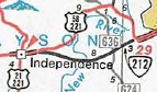
| ROUTE LOG US 58, US 221: 0 - 0 VA 94: 7.36 - 7.36 |
Creation: Appeared about 1981 as a renumbering of part of US 58 and US 221. Ran as it does today. This is the 2nd VA 274.
Adjustments: None Improvements: Paved upon inception; no multilane segments Posted: Fully posted; 4 error SR 274 shields at US 58-221 were observed in 2007 and are still up as of 2023. Multiplexes: None Legislative names: J.E.B. Stuart Highway (entire route), designation (3-14-28) predates VA 274 designation. Other names: None Scenic Byway: No segments Comment: VA 274 follows the New River pretty closely for its entire run.
|
||||
| Previous VA 274's:
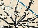
1946 ROUTE LOG US 11: 0 - 0 Clarke-Frederick Line: 3.16 - 3.16 WV LINE: 4.33 - 7.49 |
VA 274 #1: Appeared July 1933 as a renumbering of VA 833,
running from US 11 near Stephenson to the West Virginia line near
Summit Point, WV. The Mountaineer State never had a primary route on
their side.
Around 1956, VA 274 was downgraded to SR 761.
|
||||