< VA 418 | Home | VA 421 >
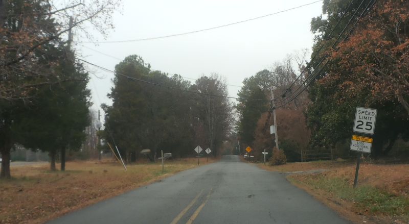
Photo: A segment of old VA 420, on Old Courtney Rd in Glen Allen (photo by Mapmikey, 12/5/14)
| ||||||
| ROUTE LOG I-395 (exit 4): 0 - 0 VA 401: 0.30 - 0.30 VA 402: 1.42 - 1.72 VA 7: 1.03 - 2.75 |
Creation: Appeared in Feb 1984 (CTB) as upgraded routing, running the way it does now. This is the 2nd VA 420.
Adjustments: None Improvements: Paved upon inception; multilaned from I-395 to VA 402 Posting: Not posted anywhere Multiplexes: None Legislative names: None Other names: Seminary Rd/Janneys Ln Scenic Byway: None Comment: VA 420 has 3 intersections with primary routes and there are no primary postings of any of the 4 involved routes at all. |
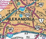
1986 Official |
||||
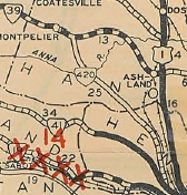
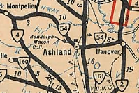
| Previous VA 420's:
1932 ROUTE LOG VA 41: 0 - 0 VA 432: 2 - 2 VA 39: 23 - 23 |
VA 420 #1: Appeared in August 1928 as an upgrade to CR 24 from
VA 39 (now along US 33 at SR 828 if it connected) Montpelier southeast 10.27 miles. A
separate piece was formed running from VA 41 (now US 250) Flagman's
Store northwest 6.65 miles.
In Aug 1929 (CTB), the northern piece of VA 420 was extended southeast 1.3 miles to the Henrico County line. In June 1930 (CTB), the remaining 2.4 mile gap in VA 420 was closed. In July 1933, VA 420 was renumbered as part of VA 4. Today it is US 33 except SR 829 in Montpelier; in Fairington it used SR 709; north of VA 157 it used Old Mountain Rd (cutoff by I-295), Mountain Rd, Courtney Rd and Old Courtney Rd; In the Laurel area it used "Old Route 33", a bit of Hungary Rd and Old Staples Mill Rd. 1928 and 1929 Official maps erroneously show VA 420 as a completed route.
|
|||||
Previous: VA 419 |
Next: VA 421
Top | Virginia Hwy Index
Home
Page last modified 16 February 2025