ROUTE LOG
I-26 (exit 108), US 76 WB: 0 - 0
S-40-2963 (WB only):
S-40-3020: 1.9 - 1.9
US 21, US 76 EB, US 176, US 321: 1.2 - 3.1
|
|
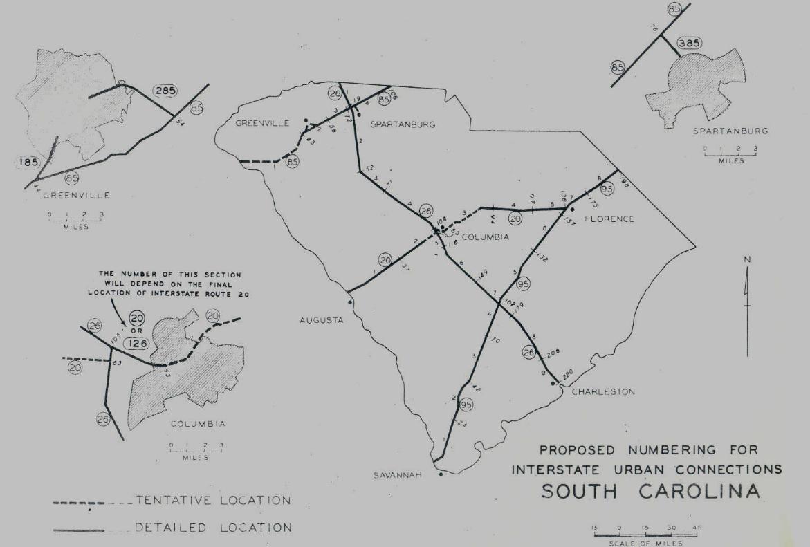
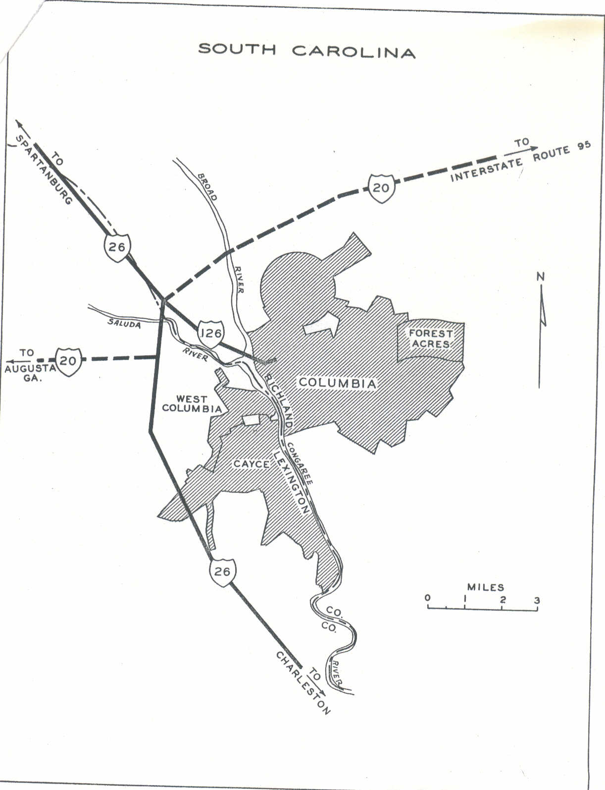
Creation: I-126 first appeared on the 1959 Official Map. It had been under consideration to be part of I-20's routing early on during interstate planning in South Carolina.
Adjustments: In 1961, I-126 was opened with a full US 76 overlay.

I-20 under consideration to head through Downtown Columbia
Early SCDOT interstate plans
|

I-126 to downtown Columbia
Finalized Columbia plan
|
Improvements: 4 lane freeway at inception.
I-126 was six-laned from I-26 to Greystone Blvd and 8 laned from Greystone Blvd to Huger St in 1978.
One exit was not part of the original lineup: S-40-2963 Colonial Life Blvd (btw 1986-90)
Comment: I-126 provides freeway access to Riverbanks Zoo and Downtown Columbia from I-26.
For many years I-126 was not identified from I-26 EB, only US 76 was on the BGS's. The opposite was true on I-26 WB - I-126 shield but no US 76 shield. In the 2000s, this changed to where a text ROUTE I-126 is now on I-26 EB signs and no indication US 76 goes with it.
|