ROUTE LOG
WV 3: 0 - 0
Putnam-Lincoln Line: 6.9 - 6.9
US 60 EB: 8.5 - 15.4
US 60 WB: 0.1 - 15.5
WV 34 ALT: 1.3 - 16.8
I-64 (exit 39): 5.1 - 21.9
US 35: 1.9 - 23.8
WV 817 NB: 3.2 - 27.0
WV 817 SB: 1.0 - 28.0
WV 62 NB: 0.5 - 28.5
WV 62 SB: 0.8 - 29.3
Kanawha-Putnam Line: 11.4 - 40.7
Putnam-Kanawha Line: 0.3 - 41.0
Jackson-Putnam Line: 4.8 - 45.8
I-77 (exit 124): 6.1 - 51.9
|
|
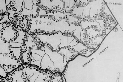
Creation: Appeared in 1922 as new primary routing running from WV 3 (now WV 34 ALT at Connor St) Hurricane to WV 2 (now CR 21) near Kenna. This is the only WV 34.
Adjustments: In 1930 (WVDOH Annual Report), WV 34 was extended with US 60 east out of Hurricane, then south as new primary routing to end at WV 3 near Griffithsville.
It appears that in 1934 or 1935, WV 34 north was truncated to Paradise with the route to Kenna downgraded to CR 23.
In 1935, WV 34 south was rerouted to meet WV 3 much further west, near Hamlin. The old route to Griffithsburg became Putnam CR 41 and Lincoln CR 20.
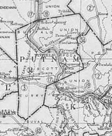
WV 34 Hurricane to Kenna
1922 Official
|
WV 34 extended to Griffithsville
1931 Official
|
WV 34 south end shifted to Hamlin area
1939 Rand McN
|
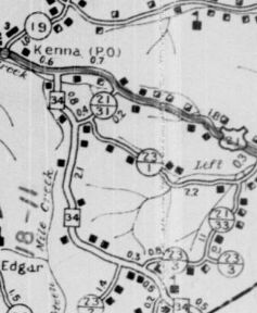
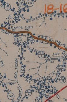
In 1936 or 1937, WV 34 north was re-extended to US 21 (now CR 21) Kenna.
WV 34 truncated to Paradise
1935 Putnam County
|
WV 34 re-extended past Paradise
1937 Putnam County
|
Between 1938-49, WV 34 swapped routings with CR 21/31 at the northern end of WV 34.
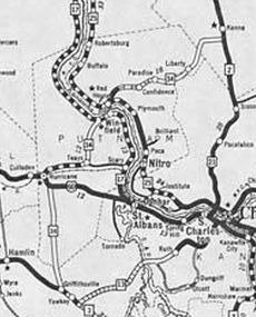
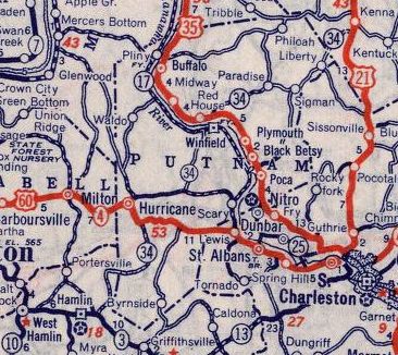
About 1957, WV 34 was moved onto the bridge between Winfield and Red House, and removing it from Ferry St in Winfield.
Between 1961-64, WV 34 was extended north with US 21 then east replacing CR 19 to end at I-77.
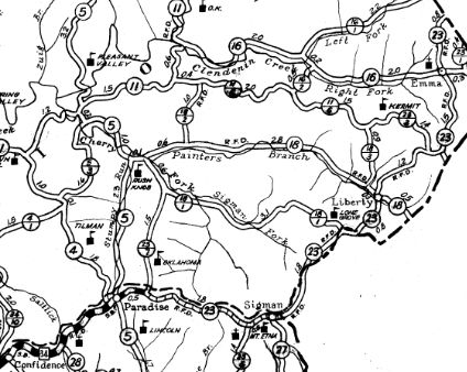
WV 34 original Kenna end
1937 Jackson County
|
WV 34 new Kenna end
1949 Jackson County
|
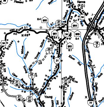
WV 34 extended to I-77
2004 Jackson County
|
In 1966 (bridge date), WV 34 was rerouted in Hurricane to receive its overpass of the railroad, leaving behind Putnam Ave, Connor St, and WV 34 ALT.
Improvements: In 1923, WV 34 was paved from Red House to Confidence
In 1932, WV 34 was paved from Hurricane to Mt Vernon
Between 1940-46, WV 34 was paved from US 60 south 5 miles.
The remaining Lincoln and Putnam County segments were paved between 1950-56.
The Jackson County piece was paved not long after 1956.
WV 34 has no multilane segments
Comment: WV 34 is pretty winding south of US 60 and north of WV 62.
|
