< WV 33 | Home | WV 34 | WV 35 >
|
|
|
| ROUTE LOG |
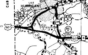
US 60: 0 - 0 WV 34: 1.7 - 1.7
|
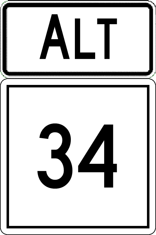
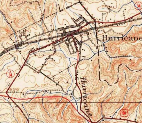
Creation: Appeared between 1950-56 as a renumbering of US 60 ALT. It is possible this was briefly secondary first. This is the only WV 34 ALT.
| Adjustments: In 1966 (bridge date) WV 34 ALT was extended on its northern end onto its current WV 34 approach which was a partial replacement for WV 34. Improvements: Fully paved upon inception; no multilane segments Comment: WV 34 ALT is erroneously posted as WV 34 Business in several spots now.
|
|||||||