< US 17W | Home | US 21 >
US 19 | US 19 ALT
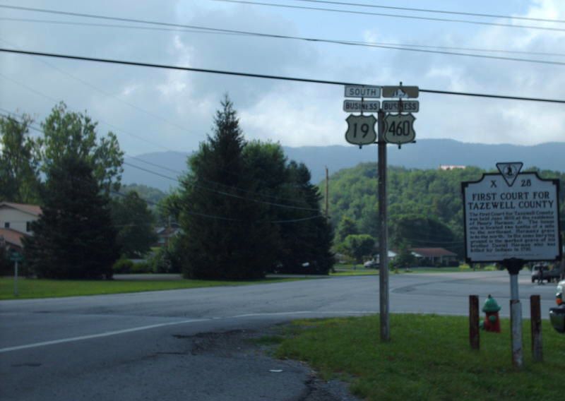
Photo: US 19-460 Business entering Tazewell with some vintage signage (photo by Mapmikey 8/1/08)
|
|
|
| ROUTE LOG |
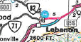
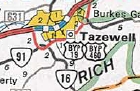
US 19, US 460: 0 - 0 VA 91: 1.58 - 1.58 VA 16 SB: 0.27 - 1.85 VA 16 ALT: 1.75 - 3.60 VA 16 NB: 1.25 - 4.85 VA 61: 1.65 - 6.50 US 19, US 460: 1.58 - 8.08
|
Creation: US 19 Business for Tazewell appeared in May 1970 (AASHO) when US 19-460 was placed on new freeway north of town. Though it should be noted that the bridges on the bypass are dated 1974.
| Adjustments: None Improvements: Paved upon inception; no multilane segments Posted: Fully posted; numerous cutouts remain within Tazewell proper as of 2008. Multiplexes: US 460 Bus (entrie length) Us 460 Bus, VA 16 (3.00 mi) Legislative names: Trail of the Lonesome Pine, entire route (designation 3/24/30 predates US 460) Other names: Main St/Fincastle Tpk Scenic Byway: Entire route (since 3/8/93) Comment: US 19 Business follows much of the original VA 11 through Tazewell.
|
 Previous: US 17W |
Next: US 21
Page last modified 1 February 2022 | |||||||||||||