< VA 46 | Home | VA 48 >
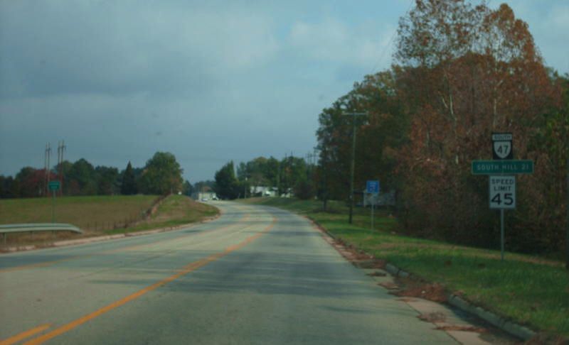
Photo: VA 47 south leaving Chase City (photo by Mapmikey 11/10/07)
|
.
|
|
| ROUTE LOG |
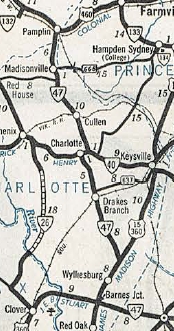
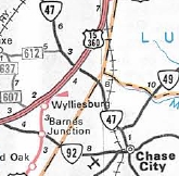
US 1, US 58 Bus: 0 - 0 VA 49 SB, VA 92: 22.63 - 22.63 VA 49 NB: 1.26 - 23.89 Charlotte-Mecklenburg Line: 5.54 - 29.43 US 15, US 360: 2.70 - 32.13 VA 59: 8.64 - 40.77 VA 40 WB: 4.27 - 45.04 VA 40 EB: 0.10 - 45.14 Prince Edward-Charlotte Line: 13.29 - 58.43 Appomattox-Prince Edward Line: 1.59 - 60.02 US 460 Bus: 1.07 - 61.09
|
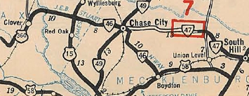
Creation: Appeared July 1933 as a renumbering of VA 434 running from VA 46-49 Chase City to US 1-58 South Hill. This is the 3rd VA 47.
|
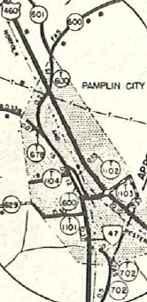
Improvements: Fully paved upon designation from South Hill to about Northview VA 47 has been fully paved since 1934. VA 47 has no current multilane segments but was multilaned on its US 360 duplex from 1967-79. Posted: Fully posted; Multiplexes: VA 49 (1.26 mi) VA 40 (0.10 mi) Legislative names: None Other names: Atlantic St (South Hill); 2nd St/Main St (Chase City); Craftons Gate Hwy (Charlotte Co s of VA 59); Thomas Jefferson Hwy (Charlotte CH to Pamplin City) Scenic Byway: No segments Comment: VA 47 is a very nice route from Chase City to South Hill. I have driven the rest of it and have no specific recollections of it being good or bad. | Previous VA 47's:
1929 ROUTE LOG US 15, US 501, VA 32: 0 - 0 VA 44: 14 - 14 1932 ROUTE LOG VA 117: 0 - 0 CR 12: 8 - 8 |
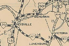
VA 47 #1: Began in Aug 1928 (CTB) as a renumbering of VA 323 running from US 15-501/VA 32 Keysville east to VA 44 (now VA 49) Lunenburg CH.
In Dec 1930 (CTB), VA 47 was renumbered as part of VA 48. Today this is part of VA 40. VA 47 #2: Appeared in Dec 1930 (CTB) as new routing running from VA 117 (now old VA 89 Chesnut Dr) south of Galax east 5.8 miles In July 1932 (CTB), VA 47 was extended east another 2.3 miles, still 1.3 miles short of Drenn. In July 1933, VA 47 was renumbered as VA 97 which it remains except between Chesnut Dr and current VA 89 is abandoned.
| |||||||||||||
Previous: VA 46 |
Next: VA 48
Top | Virginia Hwy Index
Home
Page last modified 20 July 2013
