< VA 404 | Home | VA 406 >
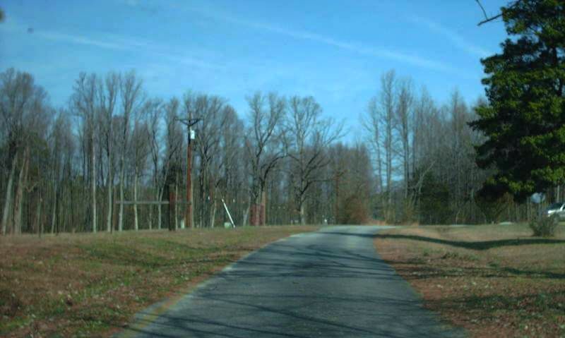
Photo: former VA 405 northbound leaving what is now US 460 (photo by Mapmikey 2/15/08)
| |||||
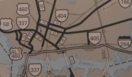
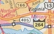
| ROUTE LOG I-264 (exit 12): 0 - 0 US 58: 0.64 - 0.64 |
Creation: Appeared in Dec 1980 (CTB) as new primary
routing, running from I-264 to US 58 via Merrimac Ave for a distance of
0.46 miles. This is the 3rd VA 405.
Adjustments: Between 1983-90, VA 405 was removed from Merrimac Ave onto its current Ballentine Blvd routing. Improvements: Fully paved upon inception; multilane since its move to Ballentine Posted: Has never been posted. Multiplexes: None Legislative names: None Other names: Ballentine Blvd Scenic Byway: None Comment: VA 405 provides access to I-264 from the Norfolk State University area. VA 405 does not appear on Official maps but is in some Rand McNally atlases.
| ||||
| Previous VA 405's:
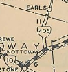
1932 ROUTE LOG VA 10: 0 - 0 Amelia-Nottoway Line: 6.7 - 6.7 |
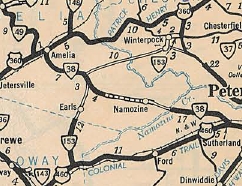
VA 405 #1: Appeared August 1928 as new routing from VA 10 (now US 460) Wellville north to the Amelia County line near Earls.
In July 1933, VA 405 was renumbered as VA 153. South of SR 660, VA 405 ran diagonally southwest to today's US 460 instead of straight down on modern 153.
VA 405 #2: Appeared in the May 1957 CTB Minutes as being assigned with "US 50 at Patrick Henry Drive overpass" (new project). VA 405 was assigned in August 1957 to the right of way for a new road between Gainesville and Centreville. Today these are part of I-66. |
||||
Previous: VA 404 |
Next: VA 406
Top | Virginia Hwy Index
Home
Page last modified 12 February 2025