< SC 63 | Home | SC 64 ALT | SC 64 Bus | SC 64-Y | SC 65 >
|
|
|
| ROUTE LOG |
SRS Line: 0 - 0 US 278 WB: 6.0 - 6.0 SC 70: 0.3 - 6.3 US 278 EB: 0.3 - 6.6 SC 3: 0.5 - 7.1 Bamberg-Barnwell Line: 9.1 - 16.2 US 321: 2.3 - 18.5 US 301 NB: 2.4 - 20.9 US 301 SB: 0.3 - 21.2 US 601: 9.3 - 30.5 Colleton-Bamberg Line: 2.3 - 32.8 SC 217: 1.7 - 34.5 SC 641: 2.7 - 37.2 SC 212: 6.0 - 43.2 US 21: 0.6 - 43.8 I-95 (exit 57): 10.1 - 53.9 SC 64 Bus: 0.8 - 54.7 US 15: 0.7 - 55.4 US 17 ALT: 2.8 - 58.2 SC 64 Bus: 0.8 - 59.0 US 17: 14.2 - 73.2
|
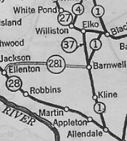
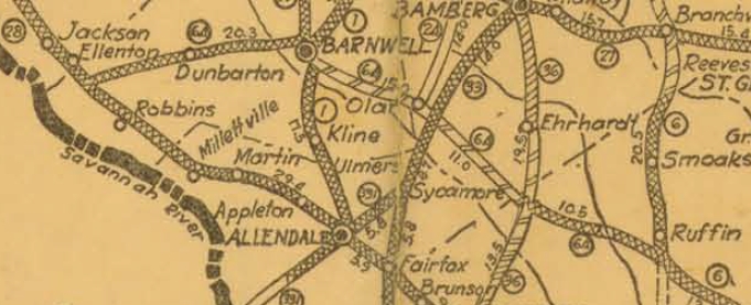
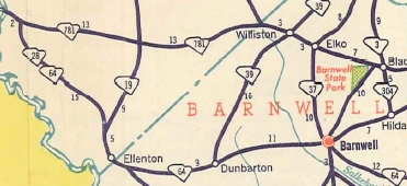
Creation: SC 64 appeared in 1925 or 1926, replacing SC 281 from SC 28 (now SC 125) near Ellenton east to Barnwell, then east as new primary routing to end at SC 6 (now US 21) near Ruffin. This is the only SC 64.
|
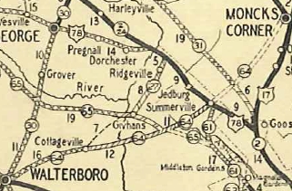
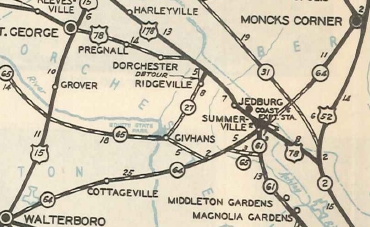
Adjustments: In 1928, SC 64 was extended east replacing SC 6 to US 17 (now US 17 ALT) Walterboro. In 1929, SC 64 was extended east as new primary routing to Cottageville, then was shown as a projected highway east through Summerville to Moncks Corner.
In 1930, SC 64 was opened from Cottageville to US 78/SC 2 Summerville. In 1932, SC 64 was removed from today's S-15-208 Dorsey Rd northwest of Walterboro. In 1933, SC 64 was removed from S-6-69 River Rd/S-6-20 Patterson Mill Rd west of Barnwell. In 1934 or 1935, SC 64 was opened from Summerville to US 52 Moncks Corner.
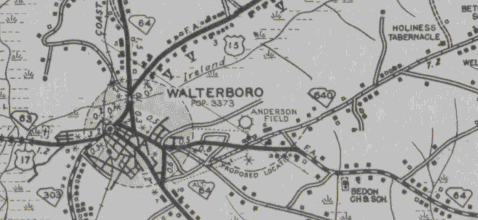
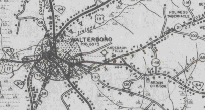
By 1937, SC 64 was removed from S-8-61 Old Summerville Rd. Between 1944-50, SC 64 was removed from Old Air Base Rd (now cutoff by the lumber yard) east of Walterboro.
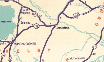
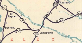
In 1950, SC 64 was extended west with SC 28 to end at SC 781 (now US 278) Beech Island; SC 64 east was extended with US 52, then replaced SC 179 to Jamestown, north with SC 511 across the Santee River, then replaced SC 528 to end at US 521 near Sampit. SC 64 was 181 miles at this point. In 1952, SC 64 east was truncated to Walterboro, with the old route to Sampit becoming US 17 ALT.

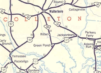
SC 64 replaced by US 17 ALT 1952 Official In 1953, SC 64 east was extended replacing SC 63 to end at US 17 Jacksonboro.
Also in 1953, SC 64 west was truncated to the Savannah River Site boundary, leaving behind SRS Route B, SC 125 and S-2-5.
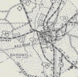
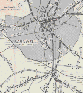
Between 1953-56, SC 64 was removed from S-6-1 Burr St/S-6-11 Main St and placed on Hagood Ave over to SC 28 (now US 278) Jackson St.
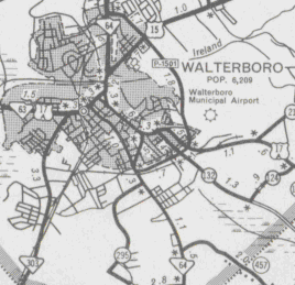
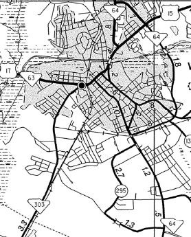
Between 1983-85, the Walterboro Bypass was built. It was first signed as P-1501, but sometime in the late 80s became SC 64 Bypass. County maps up through at least 1995 still showed it as P-1501.
Improvements: By 1932, SC 64 was paved from Earhardt to Walterboro. In 1933, SC 64 was paved from Ellenton to Barnwell and from Summerville to US 78. In 1934, SC 64 was paved most of the way from Barnwell to Olar. In 1935, SC 64 was partially paved west of Moncks Corner. In 1936, SC 64 was paved completely to Olar, and more of Berkeley County. In 1937, SC 64 was paved from Walterboro to Moncks Corner. In 1939, the last section of SC 64 to be paved was completed between Olar and Ehrhardt. SC 64 was 4-laned from Barnwell west to the Savannah River Plant in 1953. In 1973, SC 64 was 4-laned on its US 301 multiplex. In 1976, SC 64 was 4-laned from I-95 to Walterboro. When SC 64 was moved onto the Walterboro bypass, it was 4-laned. Comment: SC 64 serves as a decent alternative from Charleston (via US 17) to the Augusta, GA area (via SC 641 and SC 125). | |||||||||||||||||||||||
Previous: SC 63 |
Next: SC 64 ALT | SC 64 Bus | SC 64-Y | SC 65
Top | South Carolina Hwy Index
Home
Page last modified 20 November 2015
