< TN 39 | Home | TN 40 Byp | TN 41 >
|
|
|
| ROUTE LOG |
US 11, US 11 Bus Begin, US 64 WB, TN 2: 0 - 0 US 11 Bus NB, TN 74 NB: 0.7 - 0.7 TN 74 SB: 0.4 - 1.1 US 64 Byp, US 74 WB, TN 60: 1.4 - 2.5 Polk-Bradley Line: 7.3 - 9.8 US 411, TN 33: 0.4 - 10.2 TN 314: 4.4 - 14.6 TN 30: 5.1 - 19.7 TN 68: 16.4 - 36.1 NC STATE LINE: 3.8 - 39.9
|
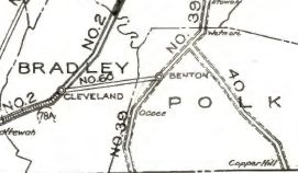
Creation: Appeared in 1923 as an original state highway running from TN 39 (now US 411) near Wetmore southeast through Ducktown to the Georgia Line at Copper Hill.
|
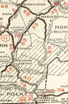
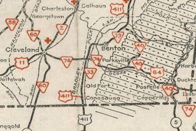
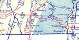
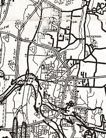
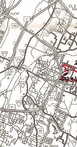
Adjustments: In 1936, TN 40's crossing into Georgia was removed from Grand St and placed on TN 68's current state line crossing. In 1939 or 1940, TN 40 south was rerouted near Archville to instead head southwest to US 64 at Ocoee Lake, then follow US 64 east back to the Ducktown area. The old route to Harbuck became Kimsey Mountain Hwy and Harbuck to US 64 became part of TN 68 (TN 40 used Main St/Vine St in Ducktown) In 1941, TN 40 was rerouted in both directions such that it followed US 64 completely from Cleveland to the North Carolina line, replacing TN 74 on both ends. TN 40 south to Georgia became more TN 68. TN 40 from Ocoee Lake north to near Wetmore became part of TN 30.
About 1968, TN 40 was removed from Cherokee Trail and Five Point Dr into Ducktown; Old US 64 at the NC Line; plus several abandoned alignments in the Ocoee lake area as US 64 was straightened out. In response to the 1968 Federal Highway Act, Tennessee requested an interstate corridor along TN 40 from I-75 Cleveland to North Carolina. This was not approved. In 1983, TN 40 was extended southwest in downtown Cleveland replacing a bit of TN 2 out to US 11.
Posting: Completely unposted; only the segment west of the Cleveland Bypass is considered secondary routing. Secret US Route Overlay: US 64 (entire route) Comment: East of the Cleveland Bypass, US 74 is part of Appalachian Corridor K and is 4-lane improved from Cleveland to Ocoee and Ducktown to NC. The 25 miles in between follows the narrow path of the Ocoee River and upgrading this segment to modern 4-lane standards will be a tall and expensive task. Both the 2013 and 2019 versions of ADHS Corridor update documents say that the Ocoee River section is under location/environmental study. | |||||||||||
Previous: TN 39 |
Next: TN 40 Byp | TN 41
Top | Tennessee Hwy Index
Home
Page last modified 26 November 2024
