< WV 43 | Home | WV 45 >
|
|
|
| ROUTE LOG |
Future US 52: 0 - 0 US 52: 1.6 - 1.6 Logan-Mingo Line: 0 - 1.6 WV 73: 17.0 - 17.6
|
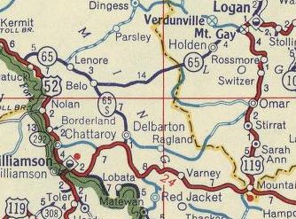
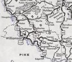
Creation: Appeared between 1977-80 as a renumbering of US 119 from US 52 Mountain View to US 119 (now CR 18/WV 73) Mt. Gay. This is the 4th WV 44.
|
Adjustments: About 1997, it is reported that WV 44 was extended from Mt Gay to Holden over more US 119. No map I can find shows this and the 2004 Logan County map shows this road as CR 18. I have found 2002 photos of this intersection that do not show it extended either. About 2012, WV 44 was extended south as partly new construction and upgrade to CR 8 to the location of the US 52 King Coal Highway.
Improvements: Fully paved upon designation; no multilane segments Comment: For some reason WV 44 is posted on the tiny sliver of pavement south of future US 52. Why isn't WV 73 north to US 119 from Mt. Gay not also WV 44? | Previous WV 44's:
1928 ROUTE LOG WV 28: 0 - 0 WV 1: 26 - 26 1940 ROUTE LOG WV 24: 0 - 0 WV 3 WB: 27 - 27 WV 3 EB: 1 - 28 US 60 WB: 30 - 58 US 60 EB: 5 - 63 WV 39: 18 - 81 1976 ROUTE LOG WV 62: 0 - 0 US 33: 2 - 2 |
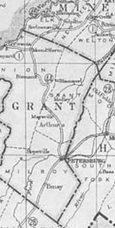
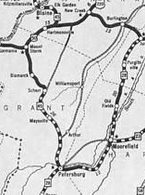
WV 44 #1: Appeared 1922 as new primary routing running from WV 28 (now US 220) Petersburg to WV 1 (now US 50) Mt. Storm.
In 1925 (bridge dates), WV 44 was removed from CR 5, CR 42/9, and CR 5/9 through the Arthur area near Petersburg. Between 1929-31, WV 44 was renumbered as part of WV 45. Today it is a bit of WV 28 and a huge chunk of WV 42. Note that WV 44 used CR 42/14 and CR 1 through Scherr.
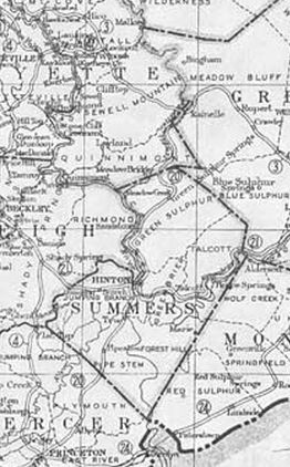
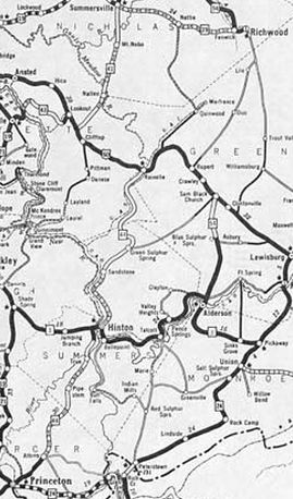
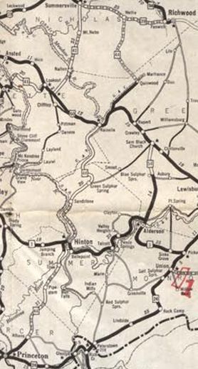
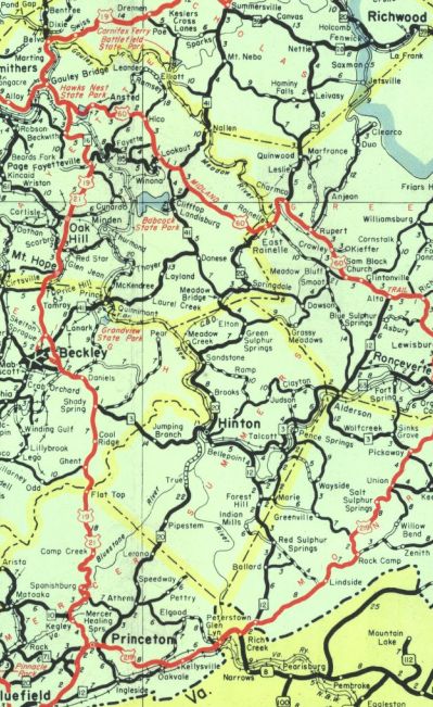
WV 44 #2: Appeared between 1929-31 as a renumbering of WV 20 from WV 24 (now WV 104) Princeton to US 60 Rainelle. In 1932, WV 44 north was extended east with US 60 for 5 miles, then north as new primary routing to end at WV 39 Nettie. Between 1933-35, WV 44 was removed from CR 18 between Pipestem and True in Summers County. In 1938, WVDOH studied requesting replacing WV 44 from US 60 to WV 39 with an unspecified US route number. It is unclear if they formally requested this or not but it obviously did not happen. Around 1940(?), WV 44 was given a bypass of Meadow Bridge, leaving behind CR 31 and CR 44/6. About 1941, WV 44 went back to being WV 20. It is still WV 20 except: In Athens WV 44 used Vermillion to Burch to abandoned routing north; CR 44 through Lerona
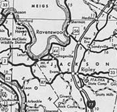
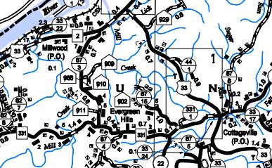
WV 44 #3: Appeared between 1956-60 as an upgrade to CR 20 running from US 33 (now WV 331) near Cottageville to WV 2 near Ripley Landing. Between 1977-80, WV 44 was renumbered as part of US 33. Today it is part of WV 62.
|
||||||||||||||||||